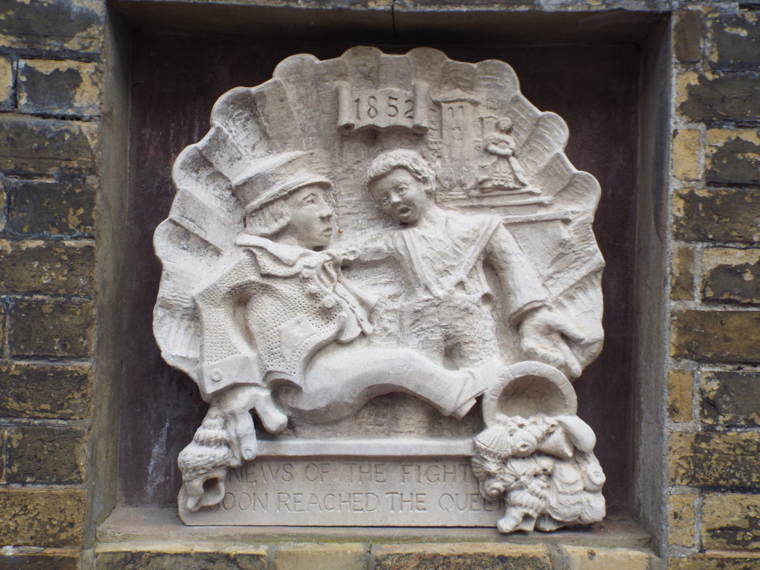
DATE STONES - RIVINGTON
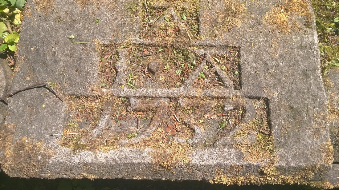
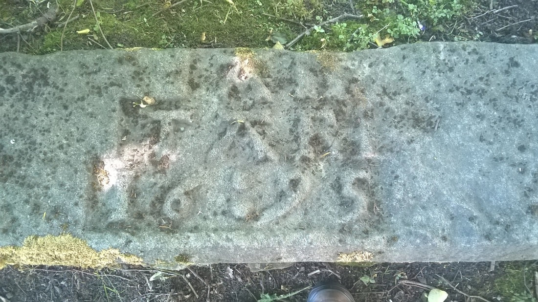
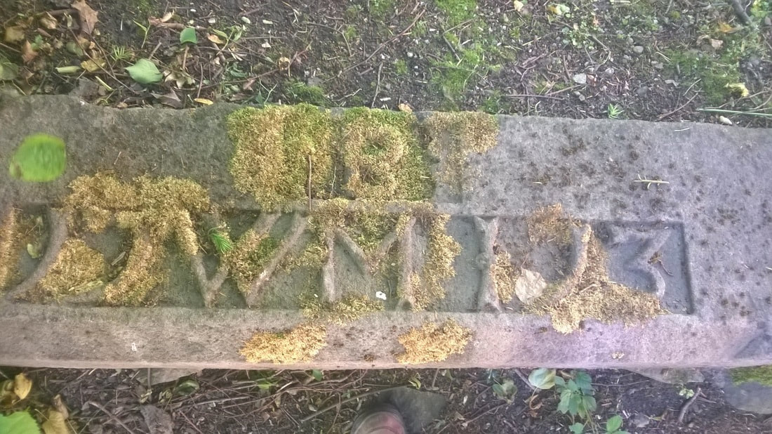
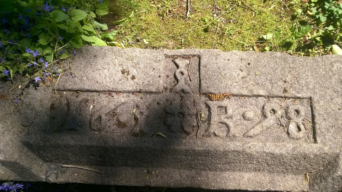
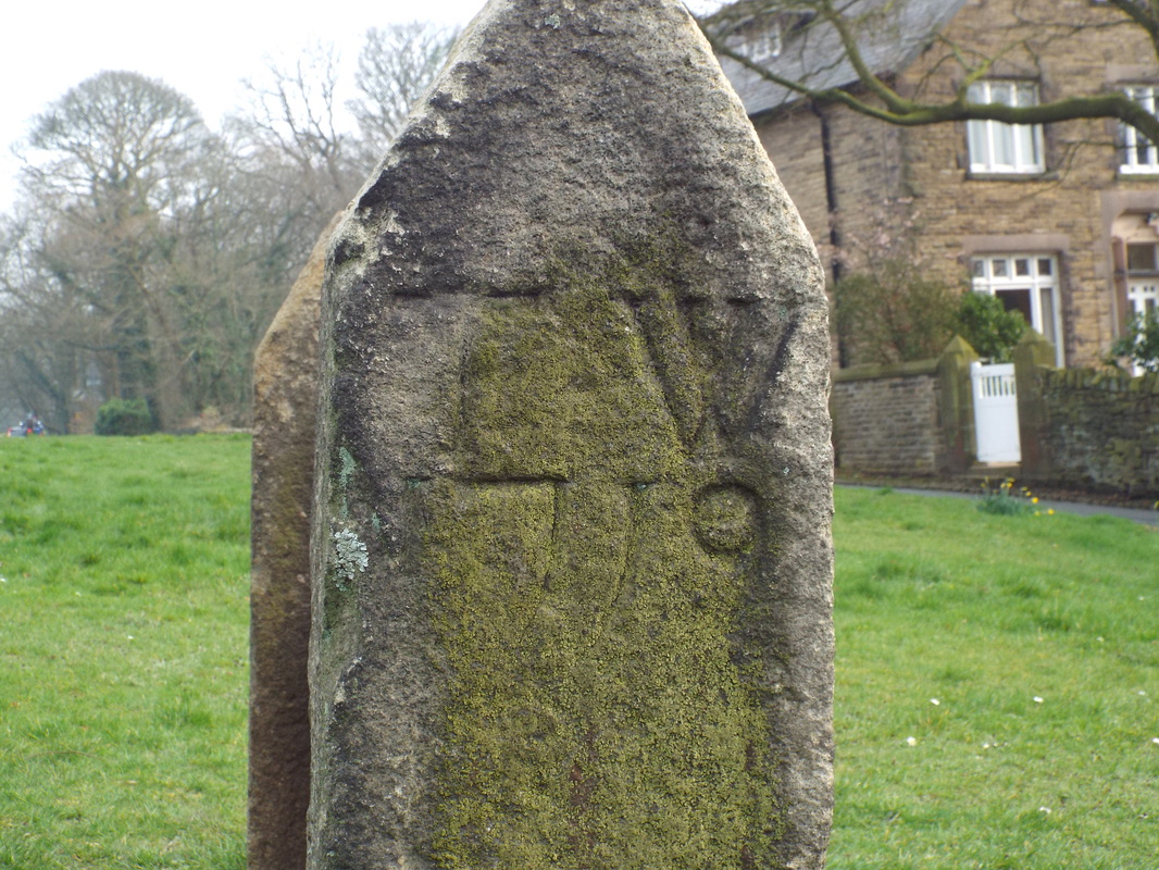
A group of date stones from the 17th and early 18th Centuries that I saw in the grounds of Rivington Church on 3 July 2016. One of these is almost certainly a lintol. Two of these stones are noted as coming from the stables of nearby Rivington Hall and as such we have a bit of information about the initials inscribed.
|
Stone dated 1732 IAA (John Andrews and Abigail) again from the stable block at Rivington Hall. John Andrews was born in 1684 and married Abigail Crook of Abram. In 1729 he purchased the estate. John Andrews died without a male heir in 1743.
Worn stone dated 1695
|
Stone from the stable block at Rivington Hall - 1713 WBMI (William and Martha Breres and John). William Breres and his wife Martha Gill lived at the Hall. William Breres died in 1723 and the estate passed to their son John who sold it in 1729 to John Andrews.
Stone dated 1698 - This is carved into what would have been a fine lintol over a main entrance door or possibly a window.
|
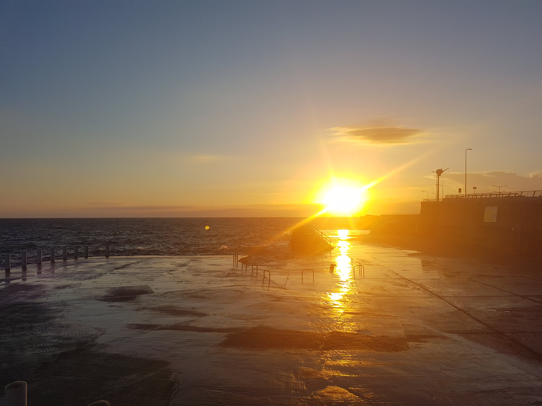
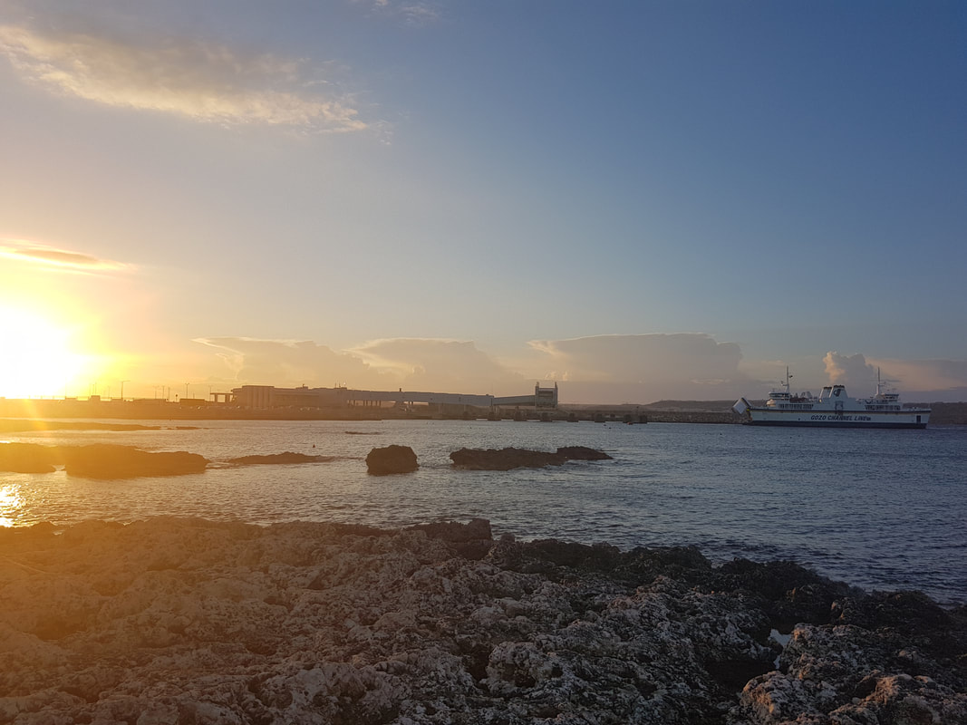
CIRKEWWA PORT - MALTA
Port of Cirkewwa on Malta photographed on 3 April 2017. We walked here from our hotel early evening. Ċirkewwa Harbour, situated at the northernmost part of Malta, is vital for the economic development of Gozo, the second largest island in the Maltese archipelago. It is the site of the Ċirkewwa Ferry Terminal, where regular car ferries operate to the port of Mġarr, Gozo.
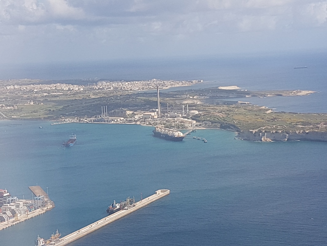
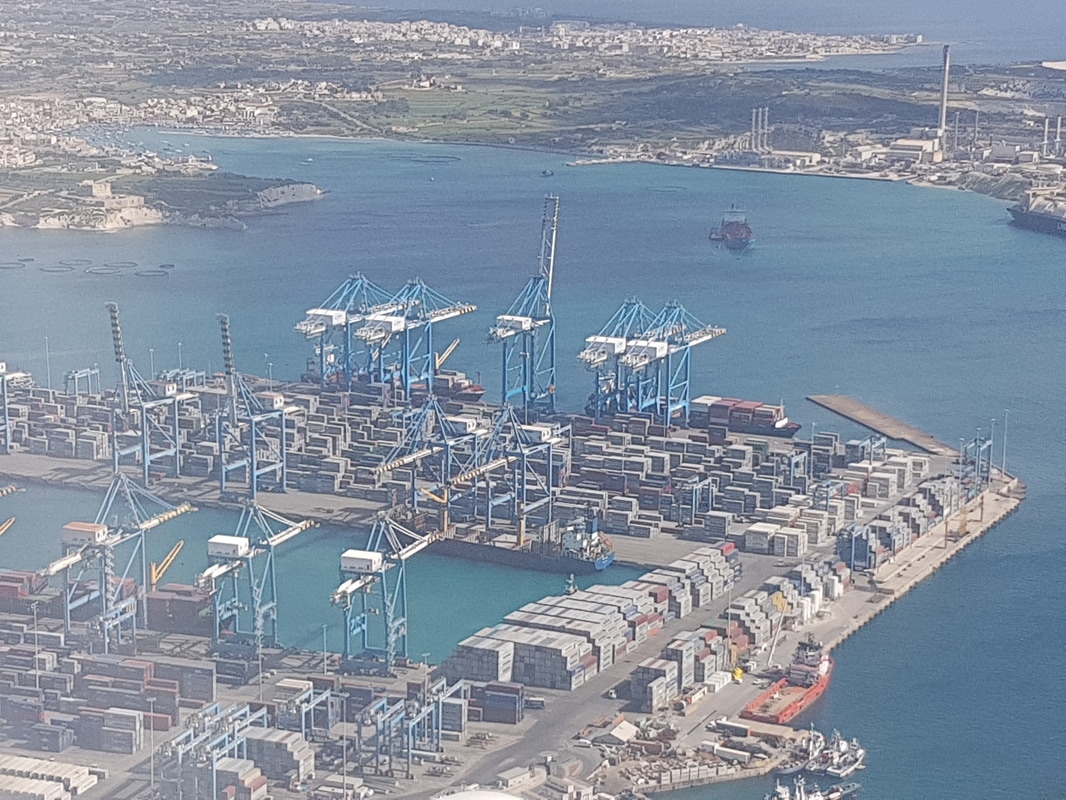
MALTA FREEPORT
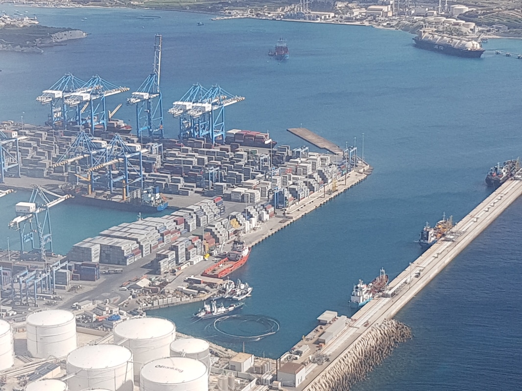
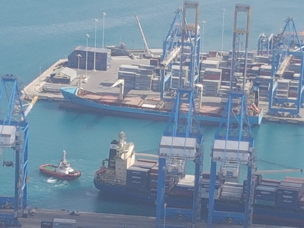
Malta Freeport photographed as we came in to land on 4 April 2017.
Malta Freeport was established in 1988 and is now a major maritime transhipment logistic centre in the Mediterranean region.
Malta Freeport focuses on the ‘hub' concept, whereby cargo is discharged from large mother vessels and relayed to a network of regional ports by regular and frequent feeder vessels. Around 96 per cent of Malta Freeport's container traffic is transhipment business. In 2016 Malta Freeport Terminals handled 3.08 million TEUs.
Malta Freeport Terminals offers a total operational deep water quay of 2,463 metres, a total area of 771,000 square metres, 15,290 container ground slots and a total number of 1,077 reefer points. All the mainline berths have a water depth of 17 metres. Malta Freeport Terminals is currently equipped with twenty-one super post-Panamx Quayside Cranes. The Yard Cranes serving both Terminals include 2 Rail-Mounted Gantry Cranes (RMGs) and 50 Rubber-Tyred Gantry Cranes (RTGs). Forty of these RTGs have twin-lift spreader capability.
Container Terminals are now fully equipped to handle 18,000 TEU containerships and larger. Malta Freeport is taking other investment initiatives to further increase its current capacity to 4.5 million TEUs in the coming years.
MGARR HARBOUR - GOZO
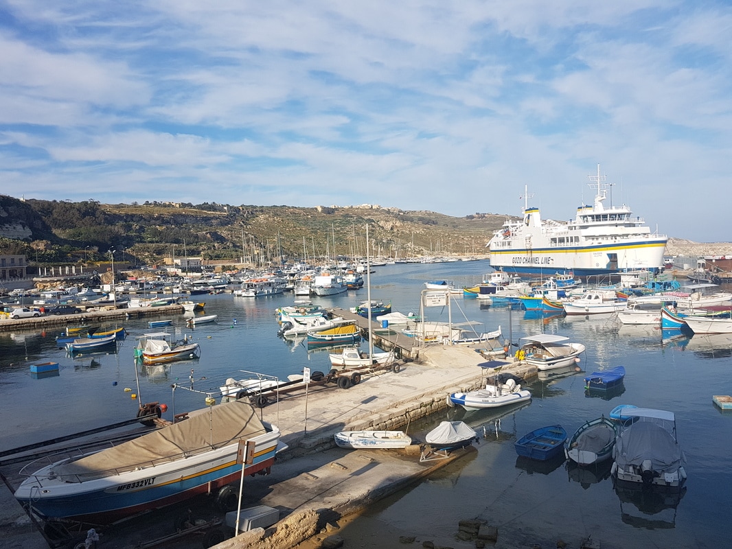
Mgarr harbour photographed late afternoon on 6 April 2017 during my day trip from Malta to explore the island.
A regular ferry service from Mgarr to Malta was first recorded in 1241. At that time Mgarr was a shallow harbour affording anchorage to small craft and quite exposed from the south west to the south east. It did not have a breakwater but only a small jetty used by passengers to board and descend from the boats and by the fishermen to unload their catches. The jetty is still there just below the Gleneagles bar where I had a beer and took this picture whilst waiting for my ferry to arrive. This bar, once a landmark of the harbour recognisable with its unique sloping roof, was originally the harbour's barrakka, a cabin for the shelter of passengers waiting for the passage boats. It was raised next to a still standing osteria, a tavern, by Grandmaster Antonio Manuel de Vilhena in 1732.
The problem of a more sheltered port was first taken under serious consideration in 1841. In April of that year, the Government began the construction of a small breakwater some hundred meters to the west of the existing jetty. During the following decades it was lengthened several times and it was last extended in 1906 although it still offered little shelter and could not be used by steamers.
The problem was finally tackled in the late 1920's and on the 23rd June 1929, the official launching of the first caisson for a proper breakwater took place. Construction went until 1935 although steamers were in 1932 able to berth alongside for the first time and to discharge passengers and cargo directly onto the quay that extended 137m into the sea.
In 1969, the Government authorised the extension of the existing 137m breakwater and the building of two modern breakwaters. The new facilities also included a ro-ro berth. The main south breakwater extends about 490m into the sea and from the north it extends 175m. This project enlarged the Mgarr Harbour to an area of over 121,400 square metres (30 acres).
In the early 1990's a small yacht marina was established .
The harbour has seen its share of tragedies. During the second World War, German planes destroyed the bar known as 'Il-Barraka'. The 'Royal Lady' ferry was also sunk in the harbour.
One of the worst tragedies occurred on 30th October 1948 when 23 men lost their lives in the channel between the two islands when the vessel they were travelling gave way to the turbulent sea and was overturned.
In 1957 one of the heaviest storms to hit the island resulted in the shipwreck of the Ferry 'Bancinu' which broke off from its moorings and was wrecked. The night-watchman trapped on the ship sadly drowned when caught below deck,
Mgarr now has a new Harbour Terminal which includes underground parking and new berthing facilities and there are also plans to offer berthing facility for Cruise Liners near the south breakwater. The number of passengers passing through Mgarr has increased from a few thousands a year in mid-1950s to over three million during the beginning of the twenty first century.
PADGATE STATION - 1873
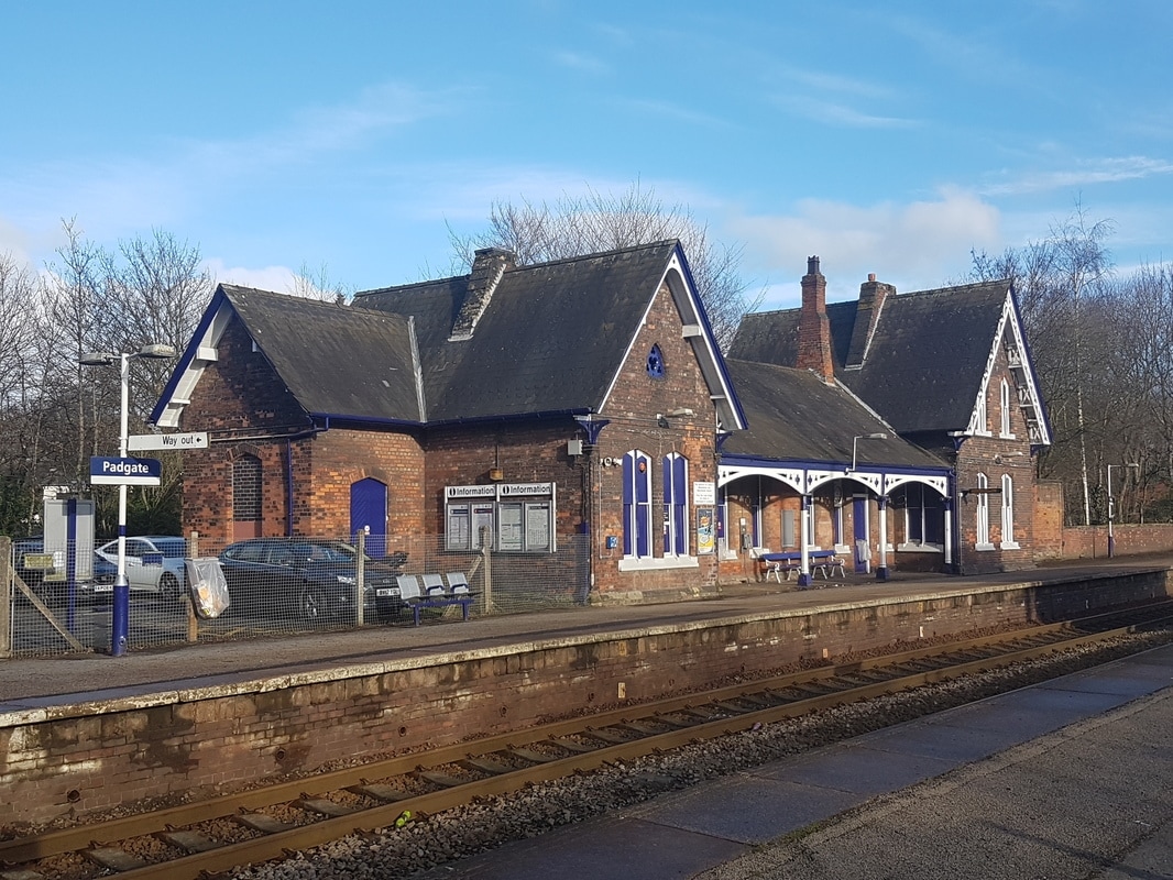
Padgate Station photographed on a cold 13 January 2017.
It is located close to the village of Padgate on the line between Warrington and Manchester.
It was built by the Cheshire Lines Railway Company to their traditional design and was opened on 1 September 1873, today it is unmanned although still in use.
It is located close to the village of Padgate on the line between Warrington and Manchester.
It was built by the Cheshire Lines Railway Company to their traditional design and was opened on 1 September 1873, today it is unmanned although still in use.
POCKLINGTON CANAL - 1818
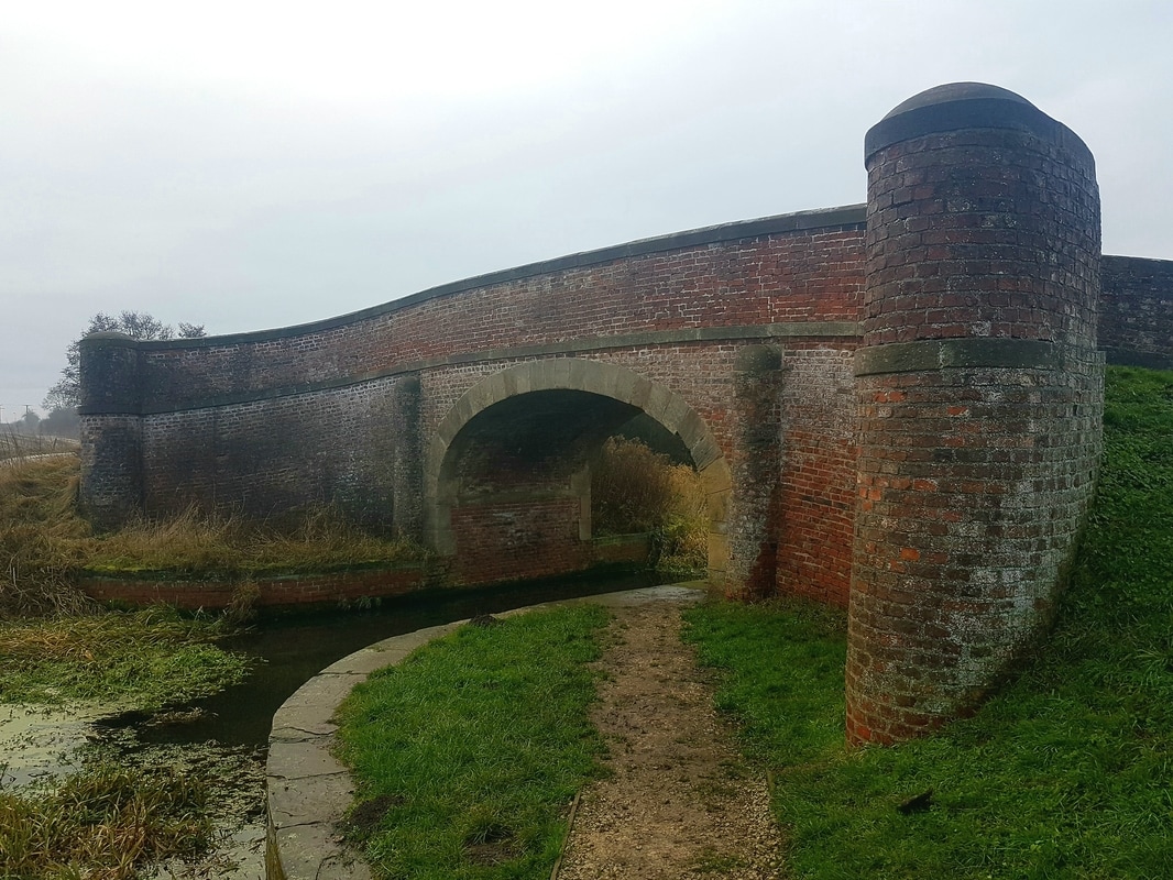
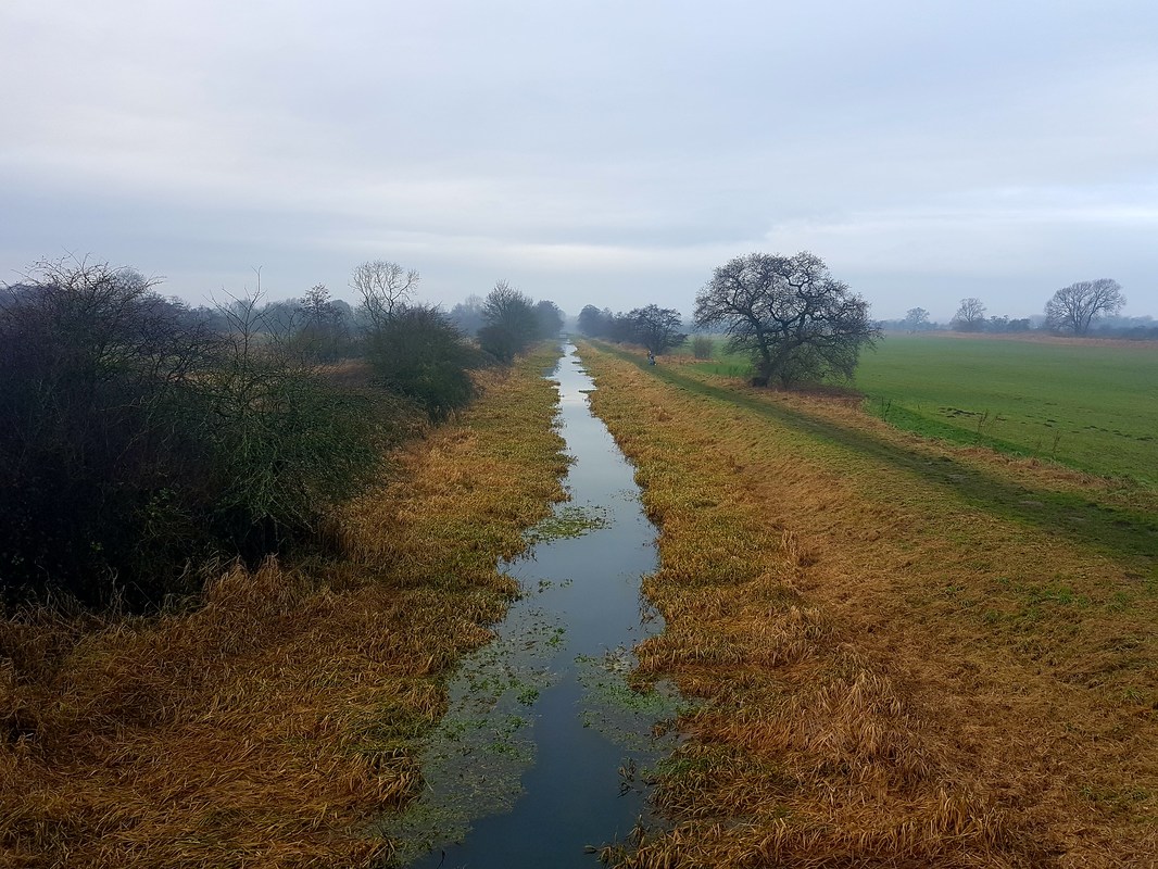
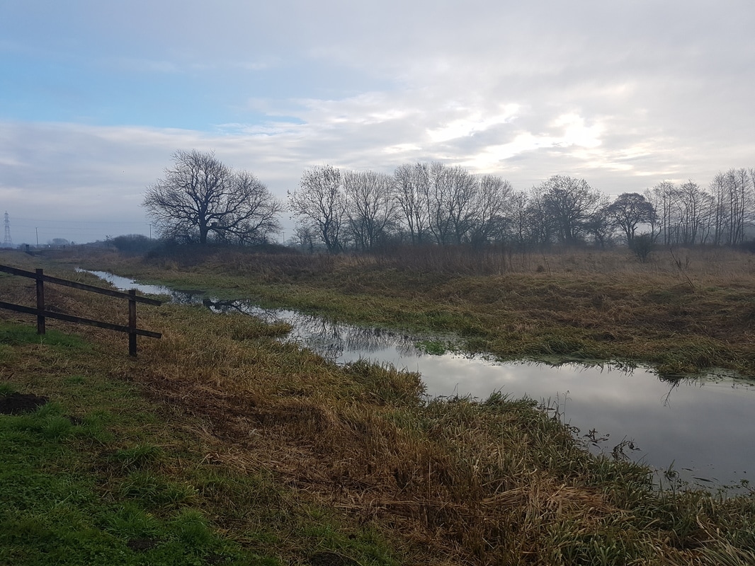
Pocklington Canal in Yorkshire photographed on 15 January 2015.
The top photograph is of one of the bridges crossing the canal. This carries Church Lane which connects the villages of Melbourne and Thornton over the canal. The other pictures were taken from the bridge.
The top photograph is of one of the bridges crossing the canal. This carries Church Lane which connects the villages of Melbourne and Thornton over the canal. The other pictures were taken from the bridge.
The first proposals to build a canal to Pocklington were made in 1765 when there were plans for a canal from the Humber Estuary to Wholsea with two branches from there, one to Weighton and the other to Pocklington.
A second assessment of the project was made in 1767 and a third in 1771 at which time the Pocklington Branch had been dropped. In 1777 a new plan for a canal from the River Derwent to Pocklington was considered and approved but no further action was taken.
Further debate occurred in 1801 and a number of routes were surveyed but again the plan was dropped
Finally, in 1812 Earl Fitzwilliam employed George Leather Jr. to survey a proposed route. At the time, both Leather and his father were working for the Earl on a navigation and drainage scheme for the upper River Derwent.
The suggested route started at Sutton Lock on the River Derwent but Leather found this route to be problematic and proposed an alternative route. He started surveying in 1813 but became il, and the work was not completed until June 1814.
A Bill was put before Parliament which became an Act on 25 May 1815. This authorised the newly formed Pocklington Canal Company to raise £32,000 by issuing shares and £10,000 by subscriptions from the shareholders or by mortgaging the works. A management committee was elected at a shareholders meeting held on 19 June 1815 and all the money had been pledged by 7 July 1815. Leather acted as engineer during the construction work
The canal was started from the Derwent end, so that sections could be brought into use as they were completed. Bad weather prevented Leather from completing the work by the end of 1817 as originally planned and the canal eventually fully opened on 30 July 1818.
The canal was sized to allow vessels known as Humber Keels which operated on the River Derwent to use it.
The Humber Keel was a type of sail craft used for inshore and inland cargo transport on the Humber Estuary and surrounding rivers and waterways during the late 19th and early 20th centuries. Keels were constructed to a variety of sizes. They had strongly built hulls with a bluff bow, were steered by a tiller, and were designed to work in shallow waters so that they could be used on the inland waterways connected to the River Humber. By the 19th century most of the hulls were built of oak, and the design was later copied by steel replacements. In the 20th century, steam and diesel engines replaced sail and with grants available to convert sailing vessels to mechanical power all of the sailing keels had disappeared by 1949. One advantage of the design was the ability to sail very close to the wind which was essential on the narrow waterways on which they plied. They were also very manoeuvrable and a single person could handle one on narrow and quiet waters. Stability was aided by a huge pair of leeboards since the vessels did not have a central keel and the small topsail was used when they were navigating the canals and rivers.
The canal rises by around 31m as it travels the 9.5 miles from the River Derwent to Pocklington. Pocklington Beck supplies most of the water for the canal. The paddle gear on the locks was fitted with fixed handles when the canal opened but these were replaced by removable ones after incidents where the locks were emptied by unauthorised people. A house was built for the lock-keeper and collector of tolls and Mark Swann was appointed to the post. The house was located close to the top lock.
Tolls raised just £623 in 1820 as there was competition from goods travelling by road. However in 1822 a packet boat was bought as a joint venture by several tradesmen and a weekly service to Hull began. Traffic consisted of coal, lime, manure and general merchandise travelling up the canal to Pocklington, while corn, flour and timber traveled in the opposite direction. Traffic rose gradually during the 1820s, and in 1830 a dividend of 3 per cent was paid to shareholders. Average receipts from tolls were around £1,400 per year, which allowed the dividend to be around 3 per cent until the late 1840s.
In 1848 the York and North Midland Railway bought the canal for £17,980. To minimise costs little more than token maintenance was carried out by the railway company. In May 1850, Swann, who had been collecting tolls since the canal opened, was dismissed. (When I read this I felt quite sad, the poor guy had worked and lived on the canal for 32 years. I hope he was okay and found somewhere else to live and work although with the downturn in traffic he was probably not surprised and hopefully was prepared). Locks were repaired in 1851, after which the railway company received a suggestion from landowners that the canal should become a drainage ditch, with a tramway running along the bank for the carriage of goods. Although the idea was well received, no further action was taken. When the York and North Midland Railway was taken over by the North Eastern Railway in 1854 the new owners of the canal followed a similar policy of low maintenance. Traffic declined from 5,721 tons in 1858 to 901 tons in 1892, by which time most boats terminated at Melbourne near to where I took my photograph and could only be partially loaded due to the channel being badly silted.
Despite the difficulties, trade on the canal continued until 1932 and the canal remained passable until 1934.
PADGATE RECTORY & COACH HOUSE - 1840
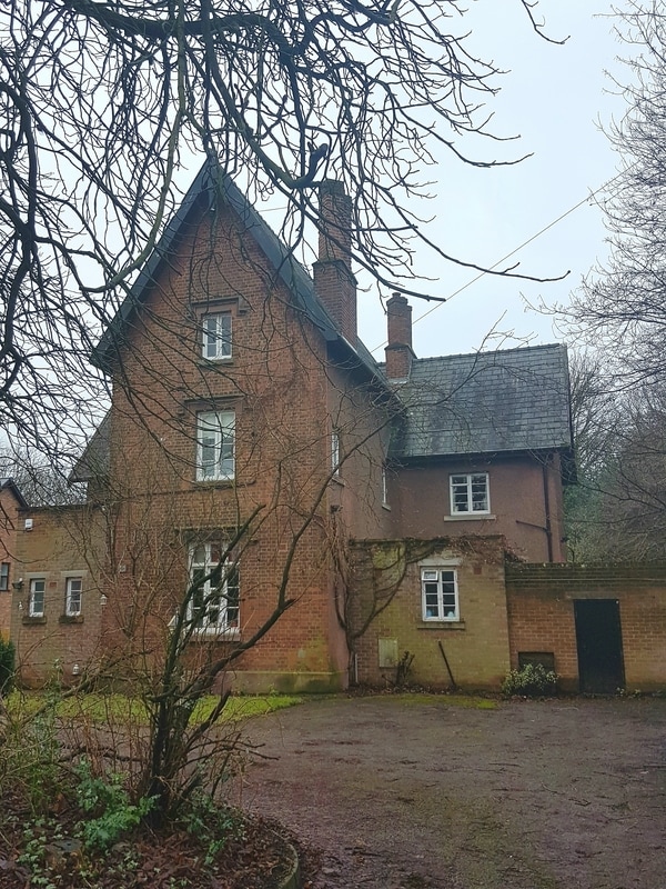
Padgate Rectory photographed on 15 January 2017.
This building which was built in 1840 sits just to the North of the church. The building was originally T shaped but has clearly had a number of additions over the last 177 years which although probably required to enable the building to function do not look great.
At the time of writing a new replacement vicarage/rectory is being built on land next door which will probably lead to the sale of this building
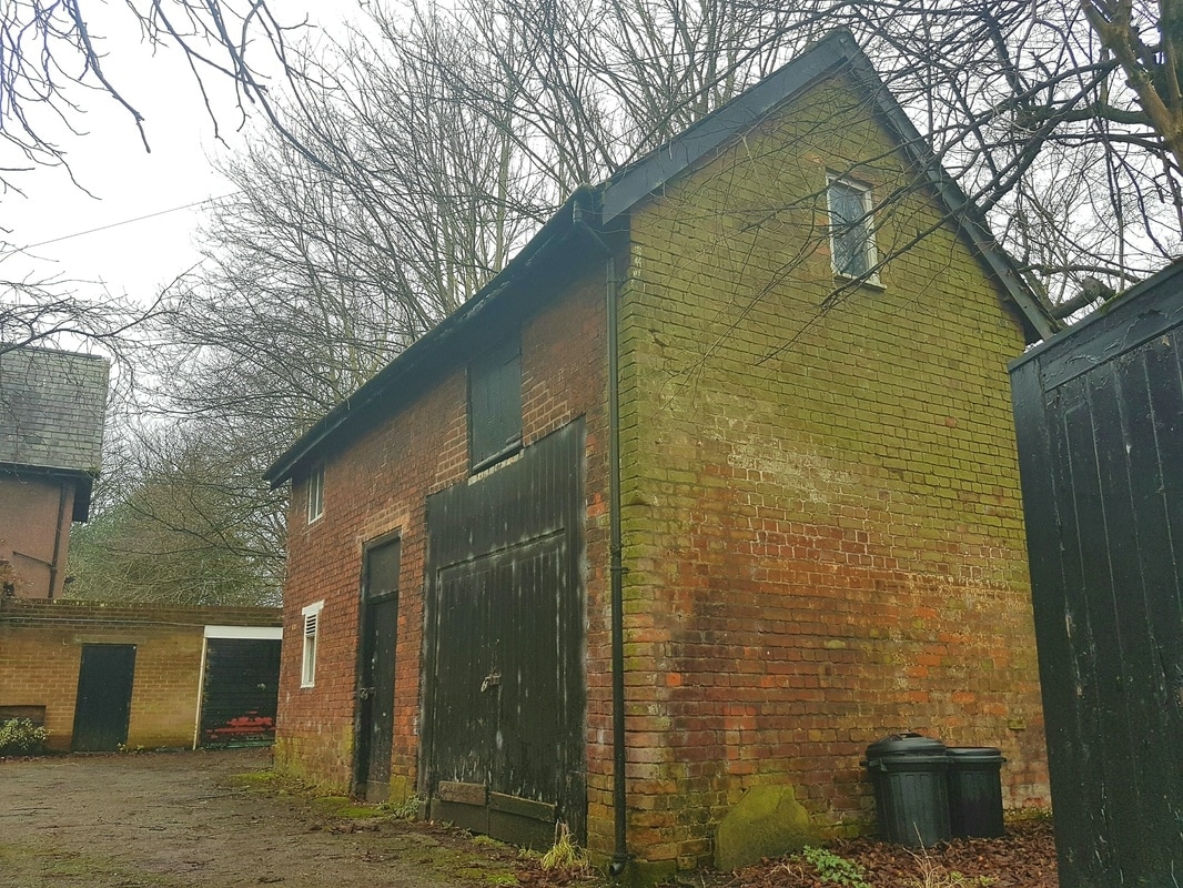
Padgate Rectory’s Coachhouse also photographed on 15 January 2017. This was also presumably built in 1840 at the same time of the rectory. It is located in the grounds of the original rectory just inside the perimeter wall and close to the road.
The building has two floors, the upper was probably a hayloft/store The ground floor was split in two, the large gates formed the entrance to where the coach would be kept, the smaller door opened into a stable with two stalls for horses. On the rear of the building is a chimney stack. I like this building, you do not see many coach houses.
The building has two floors, the upper was probably a hayloft/store The ground floor was split in two, the large gates formed the entrance to where the coach would be kept, the smaller door opened into a stable with two stalls for horses. On the rear of the building is a chimney stack. I like this building, you do not see many coach houses.
CHRIST CHURCH, PADGATE - 1838
Christ Chruch Padgate photographed at lunchtime on 13 January 2017.
The church was built in 1838, a chancel and vestry were added in 1882 and a new porch was built in 1992.
The building is constructed from red/ brown brick and has a slate roof.
The church was built in 1838, a chancel and vestry were added in 1882 and a new porch was built in 1992.
The building is constructed from red/ brown brick and has a slate roof.
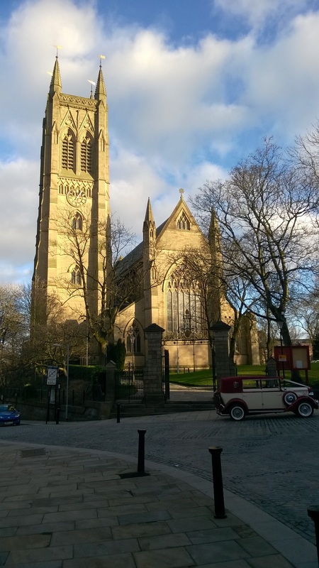
TRINITY CHURCH, BOLTON - 1825
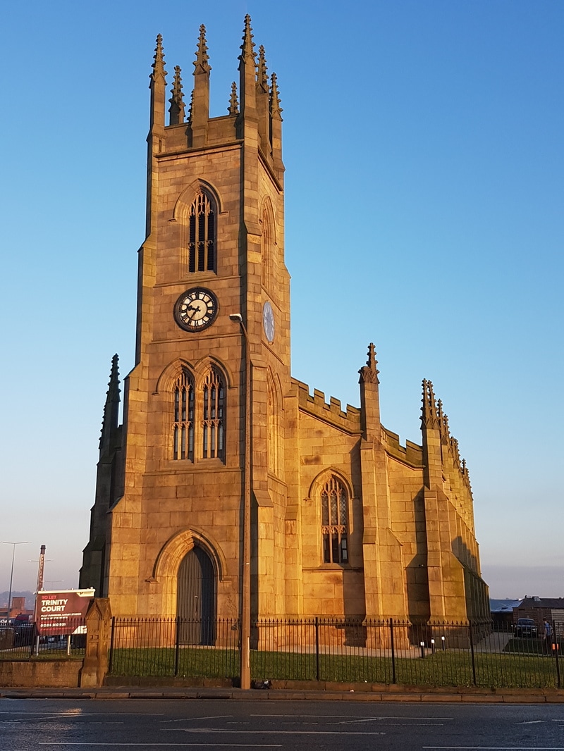
Holy Trinity Church, Bolton photographed on 29 December 2016.
Holy Trinity was designed by Philip Hardwick and built between 1823–25. A grant of £13,924 (equivalent to £1,030,000 in 2015) was given towards its construction by the Church Building Commission.
The church stands at the end of Newport Street, near the former Lancashire and Yorkshire Railway Station. The church is faced with ashlar stone and has a slate roof. It is a Gothic Revival building and has a seven-bay nave, a shallow chancel with a vestry to the east and a west tower.
The tower is in four stages with angle buttresses, it has a west doorway, above which is a pair of tiered windows. The third stage has clock dials, and in the top stage are three-light bell openings. The summit has pinnacles at the corners and at the midpoint on each side. The nave bays are separated by buttresses. These are topped by pinnacles which are linked by an embattled parapet. In each bay is a three-light tiered window. The chancel has a lancet window on the north and south sides, and a nine-light east window.
The ceremony of laying the corner-stone took place on 7 June 1823, the stone being laid by the Rev. Canon Slade, Vicar of Bolton. It was consecrated three years later on 11 September 1826.
The area around the church was originally considerably different to what it is today.
The church currently sits on the corner of two very busy main roads, to the West is a supermarket and retail park, to the North is a bus and railway station and to the East are railway lines. In 1826 the church was on a rise known as "Sweet Green." "a place of fragrant gardens and picturesque houses," as apparently noted by a contemporary writer. Immediately facing the west door was a thriving orchard and garden, the adjoining busy main road was a pleasant deep hollow of pastureland.
At that time the builders did not consider on the erection of a big new railway station which later was to cut away a large slice of the churchyard which was ultimately closed in 1856.
There is a story told of the Rev. M.F.Barton, who was vicar from 1849 - 1856. It is said he used to ride to church on a horse, tether it to the railings outside the church and enter the church and conduct the service still wearing his spurs.
The clock on the East side of the tower is considerably higher than those on the other sides. The reason for this is said to be due to a wealthy local resident who insisted on the clock on this side being elevated so that he could see the time from his bedroom windows. I imagine this persons house was located where the railway now runs or perhaps a bit further east where there are a number of other retail units alongside the main road into Bolton.
On 26 September 1915 at 12.20 am a German Zeppelin attempted to bomb Trinity St Station. The bomb fell short of its mark and crashed right through the roof of Trinity Church on the south side, fortunately the bomb did not explode but did leave a hole in the roof and a great deal of damage in its wake.
In 1919 the bells were recast and re-hung, but within a few days of their consecration a disastrous fire damaged the tower and completely ruined them.
The church was declared redundant on 1 July 1993 and has now been converted into apartments.
MIMOSA - MEMORIAL
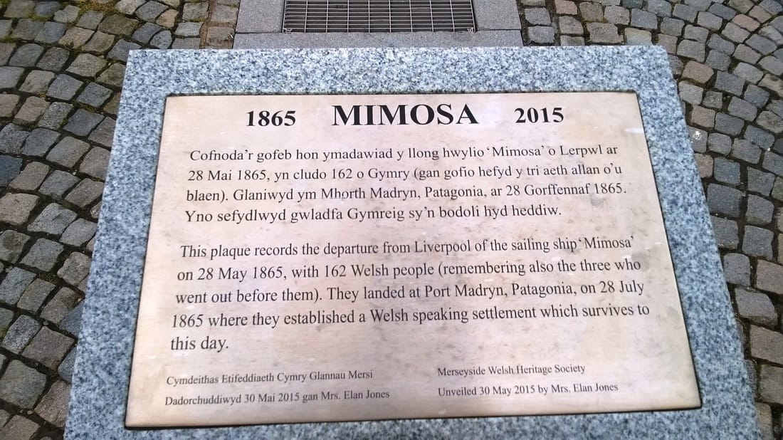
I took this photo on 6 July 2016. Having seen the memorial a few times and after reading the brass plaque I decided to do a bit more research.
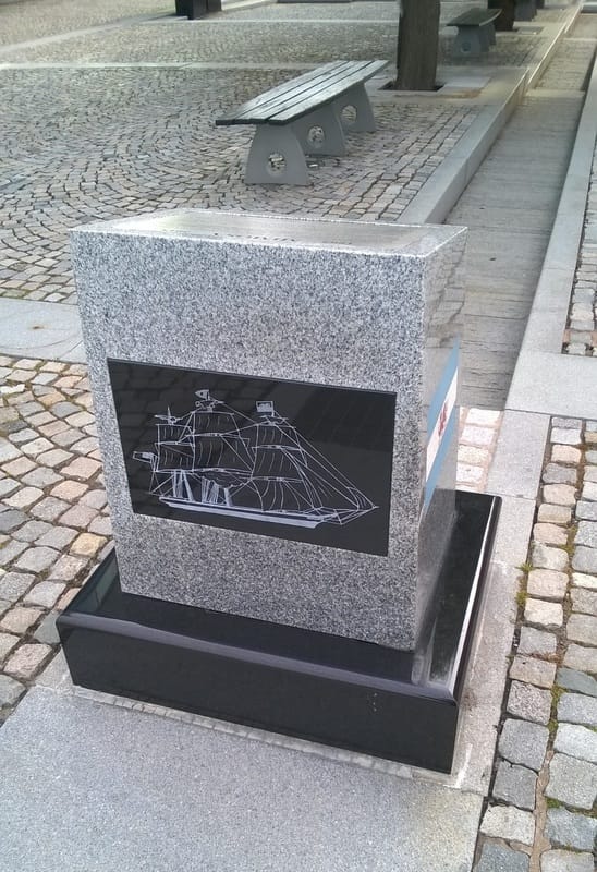
In May 1865 the tea clipper Mimosa was in Liverpool's Clarence Graving Dock being fitted out for a voyage to carry Welsh emigrants to Patagonia in South America. Mimosa was at the time 12 years old and not apparently the first vessel of choice. The vessel Halton Castle which was better equipped to carry passengers was to have taken the voyage in April 1865 but for some reason was still at sea and a such unavailable.
Within the hold partitions were constructed to separate the men's sleeping quarters from the women's and the areas were fitted out with tables, benches and other items for the passengers. The cost of fitting, provisioning and chartering Mimosa was £2,500. The fare for adults was £12 and £6 for children, although. The duration of the voyage was uncertain and provisions sufficient for a six month voyage were stored.
Mimosa's Captain was George Peperell and he assembled a crew of 18 which was a larger one than than needed for carrying only cargo. Most of the crew were from Liverpool with two sailors from a Swedish ship and another from a Portuguese vessel. Upon discovering that his passengers were almost all solely Welsh speaking the Captain signed on a young Welshman called Richard Berwyn as purser (Richard later became the first school teacher of the colony). Because, by law, a doctor was required for any ship carrying more than fifty passengers, a young doctor from Ireland called Thomas Greene, who had just completed his medical studies and who was looking for a medical position overseas was signed on as ship's surgeon.
The passengers numbered 153 and came from all parts of North and South Wales. There were 56 married adults, 33 single or widowed men and 12 single women who were either sisters of married passengers or servants, the remainder were children or babies.
Mimosa left Clarence Graving Dock on 25 May 1865 and was towed into Victoria Dock, a few days later on 28 May1865 she left the River Mersey and headed out into the Irish Sea.
The journey took 65 days and despite the daily issue of lime or lemon juice as a precaution against scurvy, many of the passengers began to suffer from boils and bleeding gums. The conditionas below decks particularly in the tropics was appalling
Five children died on the voyage and two babies were born.
A widow and widower were married sortly after leaving Liverpool.
At a Brazilian port where they stopped to replenish provisions the Captain tried unsuccessfully to persuade the passengers to disembark to join a colony already established in Brazil.
As Mimosa sailed further south they encountered the cold of the South Atlantic.
On clear days columns of vapour could be seen far out to sea. The thought of steamships sailing so far south was a comfort to the passengers that their destination was not as isolated as they had been led to believe. It was the mate who realized that the "smoke" was not from steamships, but from whales.
Finally, just before dawn on 27 July 1865 Mimosa reached her destination and dropped anchor in a natural harbour comprising a semi-circle of rocks, some 8 miles wide and 22 miles in length. Most of the passengers dressed in their best clothes were on deck before dawn. At about one o'clock in the afternoon there was a gunshot from shore and by late afternoon Lewis Jones and Edwyn Roberts rowed out to where Mimosa was anchored and came on board.
Disembarcation took more than a day as the passengers had to be rowed to shore along with their possessions which included farm implements and pieces of furniture. The ship's cook elected to remain with the colony and left the ship.
On the next day everyone gathered on the beach. A short sermon of thanks was held and the place where they stood was named Port Madryn after Madryn Castle on the windswept Llyn Peninsular in North Wales.
Little is known of Mimosa after her voyage to Patagonia except that in the following year the entire crew mutinied over short rations and Pepperell was incarcerated on board.
What became of her is not known.
ST.BARTHOLOMEW'S CHURCH, SCAMMONDEN - 1865
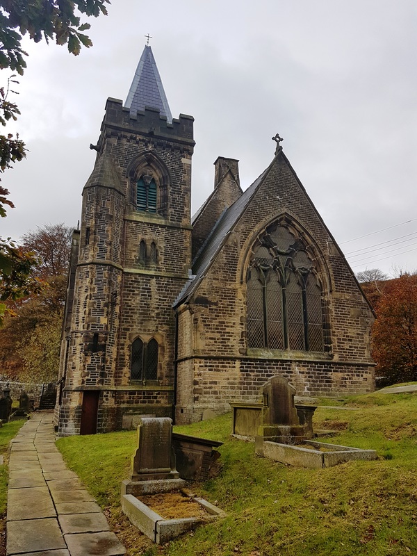
St. Bartholomew's church at Scammonden photographed on the 9 November 2016.
We visited the church whist walking around the nearby reservoir.
The site has been a place of worship since 1615 and this is the third church to be built here.
The village the church once served now lies under the waters of the reservoir but the church and a few houses and buildings built on higher ground survived the construction of the dam and the flooding of the valley.
The name Scammonden is unusual and is possibly derived from the pre 7th century Norse word and nickname ''Skambeinn", meaning short legged, plus "denu" a valley, and as such may have referred to an early land owner called "Skambeinn" as in Skambeinn's valley, but equally could have some geographical translation as in a short valley or similar. The village is first recorded in an undated deed of the 12th century.
ST.WILFRED'S CHURCH, RIBCHESTER
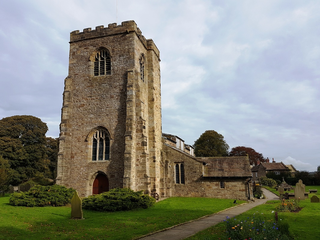
We visited Ribchester on the 24 October 2016 and visited the Church and Roman Museum before getting lunch in a local pub.
The church dates from the 13th Century and was built within the walls of the Roman Fort that once stood here.
A chapel and porch were added to the church in the 14th century and the tower was added to the west in the late 15th century. In the 16th century, the roofs were removed in order to increase the height of the chancel walls and new windows were added to the aisle wall. Major repairs to the building took place in 1685–6 and in 1711. A west gallery was added in 1736. The church underwent restoration in 1881 that included the rebuilding of the north wall of the chancel.
The church is constructed of sandstone with slate roofs.
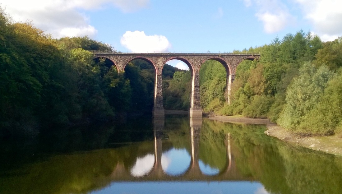
ARMSGROVE VIADUCT - 1848
Armsgrove Viaduct photographed on 2 October 2016.
The viaduct is located just North of Bolton near the village of Entwhistle.
It was completed in 1848 by the Blackburn, Darwen & Bolton Railway Company to bridge the valley containing Bradshaw Brook. The valley was later dammed in 1876 to form a reservoir.
The viaduct and its nine arches posed the greatest challenge on the entire line for the contractors. Having found suitable stone to complete the job, the main problem was transporting the blocks of dressed stone from Stanworth Delph near Withnell, along 7 miles of mainly impassable roads to the work site. In an effort to speed up progress the stonemasons were offered a previously unheard of rate of six shillings and six pence (32½ p) per day.
The viaduct is still in use today.
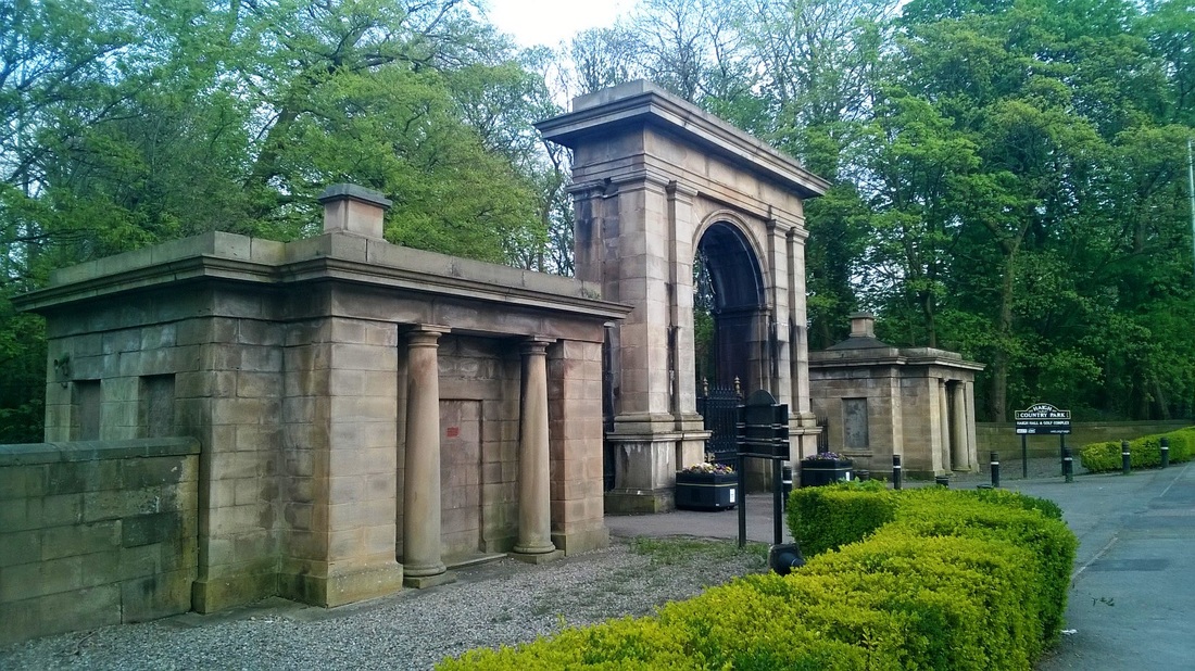
THE LODGE, WIGAN - 1840
This is the entrance to Haigh Hall in Wigan photographed during a walk after work on 3 April 2016.
Formerly known as the lodge it comprises an entrance archway and two lodges with linking railings and gates. It was built in about 1840 and is constructed from sandstone and the lodges have slate roofs, the railings and gates are made from cast iron.
Built in a classical style it has a tall round-headed archway Linking the archway to the lodge on each side is a short section of matching railings with a pedestrian gate in the centre. The lodges are square on plan and single storey.
Each has a low pyramidal roof with central chimney. In the front and rear wall of each is a rectangular recess with set-in Tuscan columns framing a doorway.
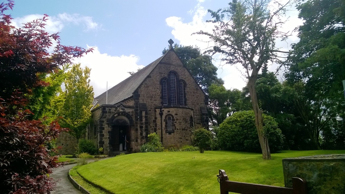
ST.GEORGE'S CHURCH, SIMISTER - 1915
St.George's church, Simister photographed on 10 July 2016 near the end of an enjoyable 5K walk out in the countryside.
The building was designed by R. Basnett Preston in a combination of romanesque and vernacular revival styles. It was built during the First World War and opened on 14 October 1915 as a mission church serving the people of the village.
It is constructed of random rubblestone with ashlar dressings and has a slate roof.
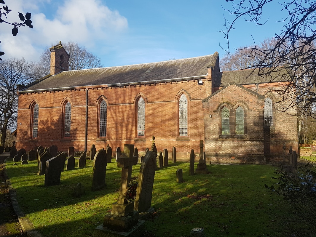
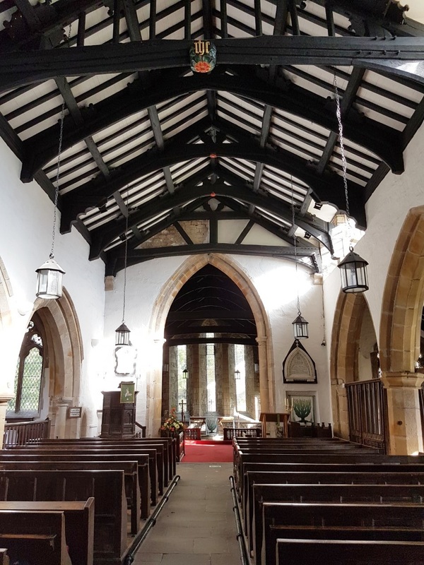
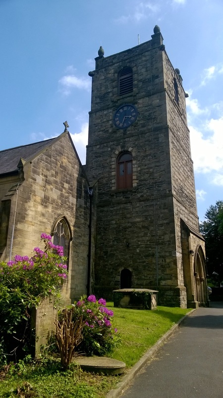
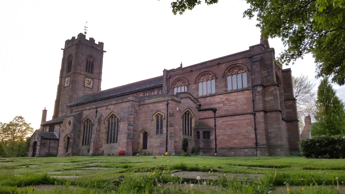
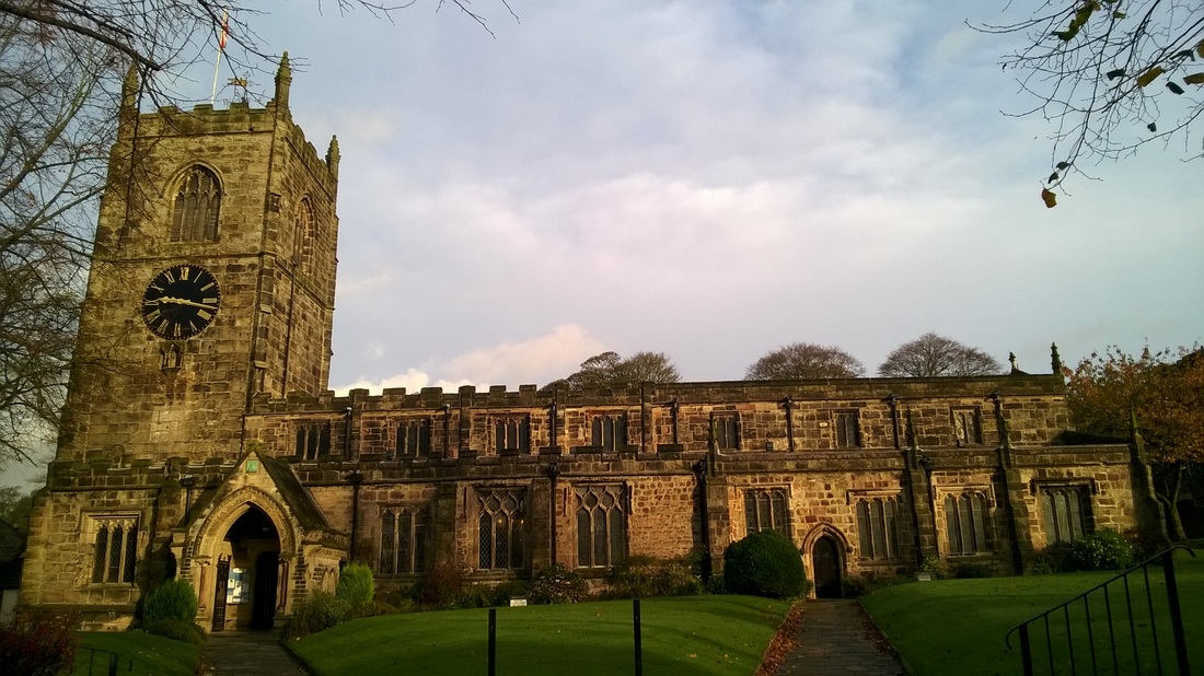
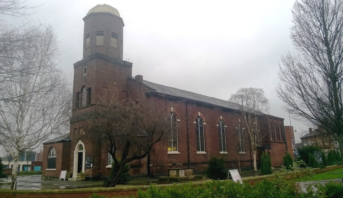
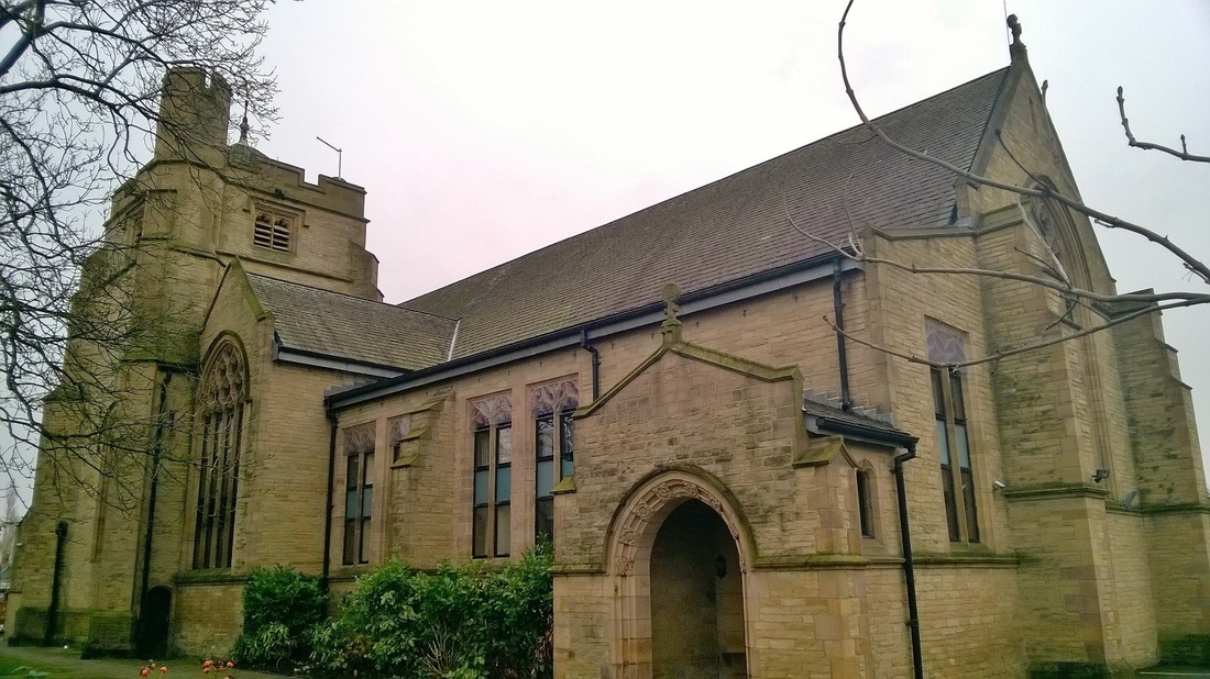
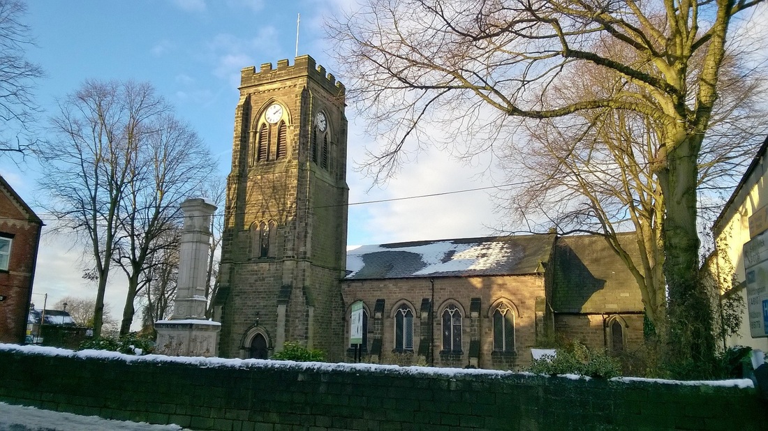
RIVINGTON CHURCH - 1540
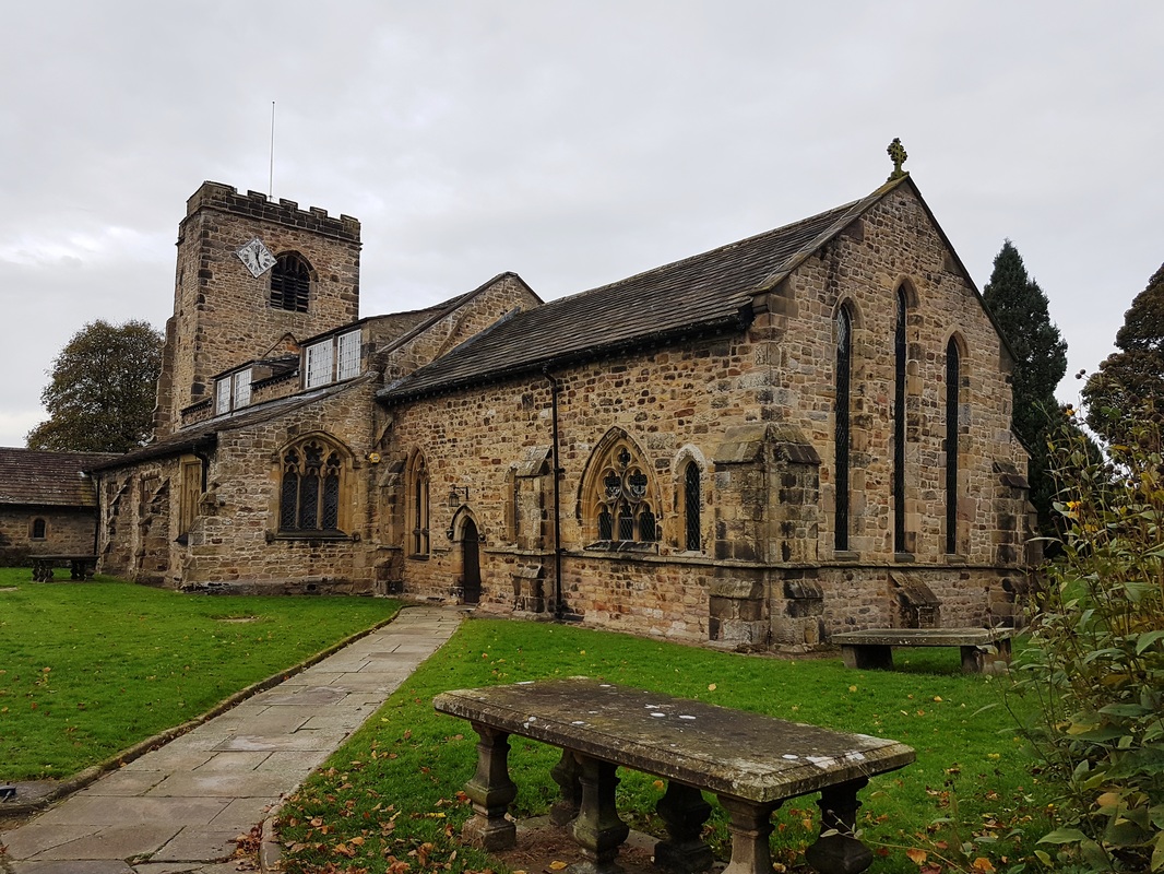
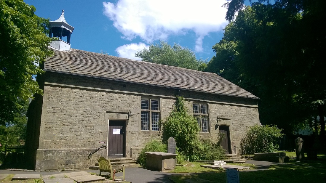
Rivington Church photographed on 3 July 2016.
We parked nearby and stopped off at the nearby church hall for tea and a cake before completing a 6 mile walk out into the countryside which took us through woods, across fields and dams, around reservoirs and along quiet country lanes.
Built in 1540 by Richard Pilkington, Lord of the Manor, Rivington Church was consecrated on the 11th October 1541 by the Bishop of Chester, Dr Bird. The church is thought to be built on the site of a former place of worship from the 13th century.
In 1566 the church was granted a charter by Elizabeth I. The charter decreed that the building should be used for sacrements and gave the people the right to choose their own minister. The original chest that held the document is still in the church but the charter is now kept at Rivington and Blackrod High School.
The church had a major rebuild in 1666 and the roof was restored in the 1800's.
In 1832 the church was badly damaged by an arsonist and in 1923 electric lighting was installed in the church.
The earliest reference to a church on this site is in a deed of 1280 mentioning three acres of "terra ecclesiastical" in Rivington. A Saxon font, found locally is housed in the church. When repairs were carried out to the flooring, the foundations of an earlier building were discovered which were possibly Saxon in origin.
The church is built of irregularly coursed sandstone. It is quite a small building with windows on each side. The nave is 55 feet 6 inches in length by 27 feet 6 inches in width and the chancel, 13 feet 6 inches by 15 feet 6 inches. There is a 19th century gabled porch between the centre and western windows on the south side and a modern vestry on north side. The west gable wall has an elliptical-headed doorway and there is an octagonal bell turret with square base and a conical roof. The roof is covered with green slates and finished with overhanging eaves.
The earliest visible gravestone in the churchyard is dated 1616.
BAITINGS RESERVOIR & DAM - 1956
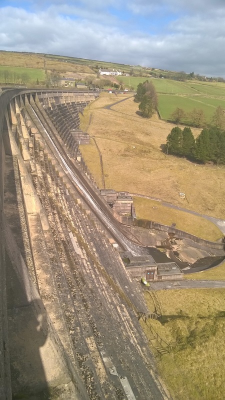
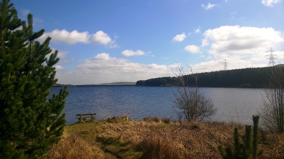
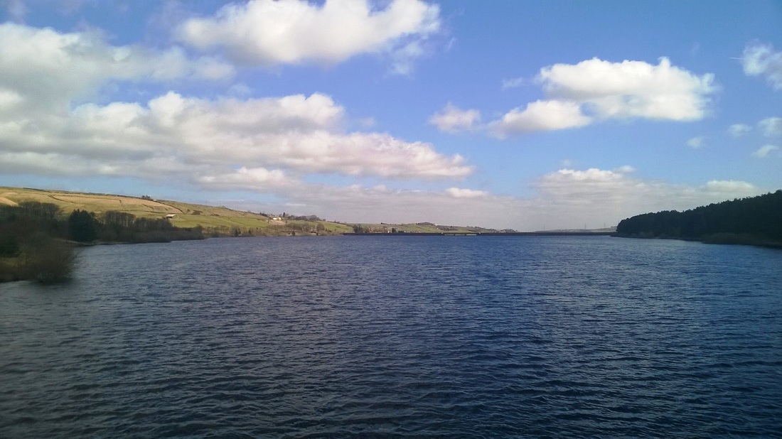
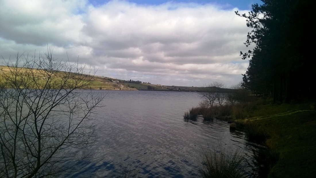
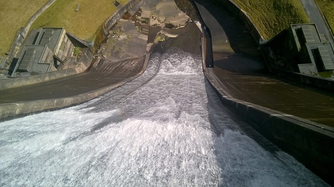
We walked around Baitings Reservoir and across the dam as part of a walk on 25 March 12016 .Construction of the dam was completed 1956 and it started to fill after the valves letting the river flow through the dam were closed on 29 February 1956.
The reservoirs catchment area is mainly rough open moorland and the River Ryburn which flows through the valley. The reservoir occupies 93 acres and holds 641,000,000 gallons of water.
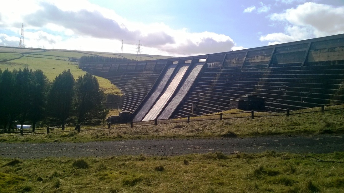
The dam is a mass concrete gravity structure and is 470m long and 51m high
The reservoirs catchment area is mainly rough open moorland and the River Ryburn which flows through the valley. The reservoir occupies 93 acres and holds 641,000,000 gallons of water.
The dam is a mass concrete gravity structure and is 470m long and 51m high
On the South side of the reservoir.
View of the dam as we headed away on the next part of our walk.
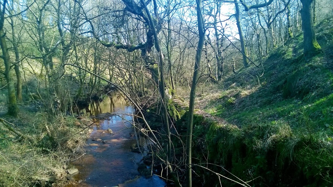
Down stream from the dam. The River Ryburn flows through the wooded valley as it has done for centuries.
CLECKHEATON TOWN HALL - 1890
Cleckheaton Town Hall photographed on 22 June 2016.
The need to build a town hall was recognised in 1885 but it was not until 1887 that a committee was formed and a site it the town centre purchased for £3,550.
Construction work started and the foundation stone was laid by William Anderton, Esq JP on the 21st June 1890. The building was officially opened by Mr Joseph Law Chairman of the Town Hall Committee on 10th February 1892.
The opening day was declared a half day holiday and the celebrations included processions, a football match, a lavish ball and a magic lantern show in the town's market place.
The building contained offices for the local authority, a council chamber and a public hall. The architects were Messrs Mawson and Hudson of Bradford, the final cost including the site, furnishings and electric lighting was £13,900.
The Town Hall clock was supplied by William Potts & Sons, Leeds and the chimes provided by Taylor Brothers of Loughborough. The clock was presented to the town by Messrs J Walter and Fred Wadsworth as a memorial to their father Elymas Wadsworth, the first chairman of the Town Hall Committee who died 9 months before the official opening.
An article in the Spenborough Guardian dated 1892 said of the opening:-
“Amid signs of public rejoicing such as are rarely witnessed in the life of any community, the new Town Hall at Cleckheaton was formally opened and dedicated to public use.” “The architectural style of the new building is described as that of the Queen Anne period, freely treated” “Mr Law was requested to open the building and the same time was presented with a handsome golden key… Mr Law acknowledge the gift and having unlocked the gate, led the way into the building; the Royal Standard being meanwhile run up on a flag staff in front. The event was further signalised by the playing of the National Anthem by the Volunteer Band.” “Within the fine concert hall The Philharmonic Society gave the Hallelujah Chorus from the Messiah.” “Later in the week the children’s ball on Friday evening was one of the most successful of the week’s series of festivities. The juvenile dancers varied in age and proportion… there were (children of an older growth) too, who laughed as they had not laughed in many a long day”
ST.COLLEN'S CHURCH - LLANGOLLEN
St Collen’s Church in Llangollen photographed when we visited the town on 29 May 2016.
The church was founded by St Collen from whom the town derives it's name. St Collen was a monk who lived in the 6th/7th Century, records are unclear as to the exact dates and much of what has been written about him is based on legend. It is said that he arrived in the area by coracle and was an Irish warrior and religious figure who also lived for a time as a hermit on Glastonbury Tor.
Collen gave his name to the town of Llangollen ('llan' for a church enclosure, and 'gollen' for Collen).
The original church built by St Collen and his monks would have been a very crude construction. In Norman times a 'new' church was built alongside.
In 1749 the churches wooden tower was replaced using stones from the newly demolished original church. A major extension in 1863 saw the south aisle added and the building extended eastwards to provide the chancel, clergy vestry and organ chamber.
The tower houses a belfry with eight bells hung to celebrate Queen Victoria’s Golden Jubilee in 1887. The most remarkable feature of the church is the oak hammer beam roof of the central nave. An earlier roof was destroyed in a fire in about 1522.
A tomb-shrine to Collen stood in the churchyard until the 19th century, but it was demolished to create space for the current west tower. The core of the church dates to the 13th century.
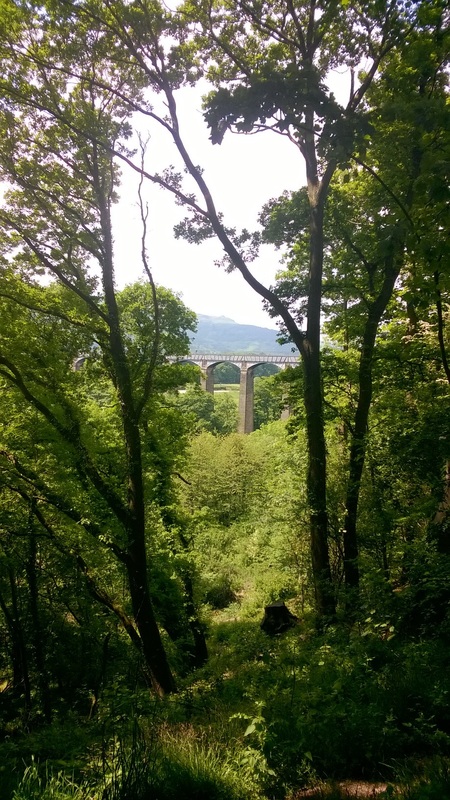
PONTCYSYLLTE AQUEDUCT - 1805
We visited the Pontcysyllte Aqueduct in Wales on 29 May 2016 after staying the night before in nearby Wrexham.
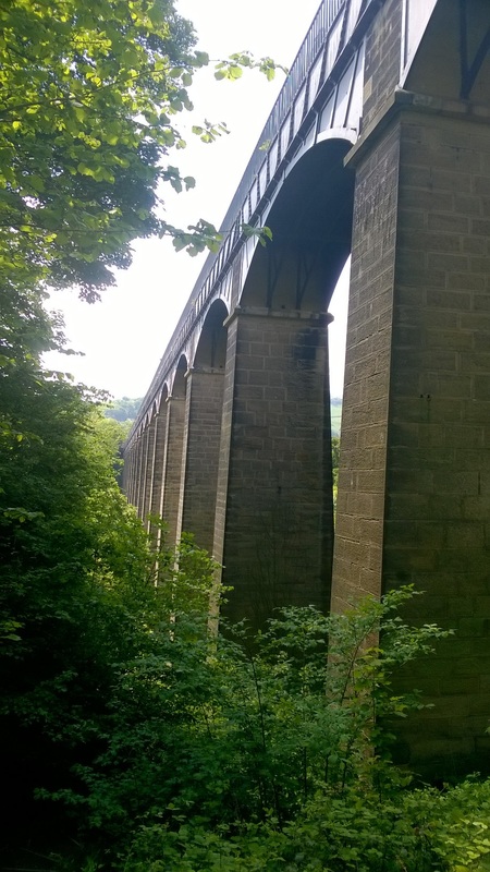
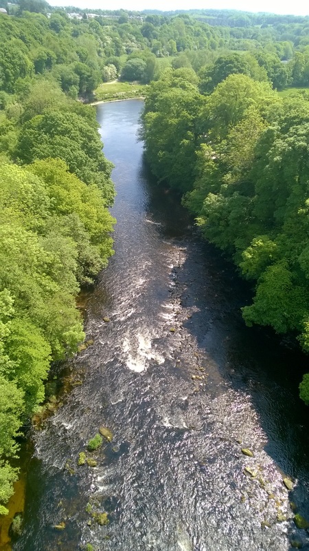
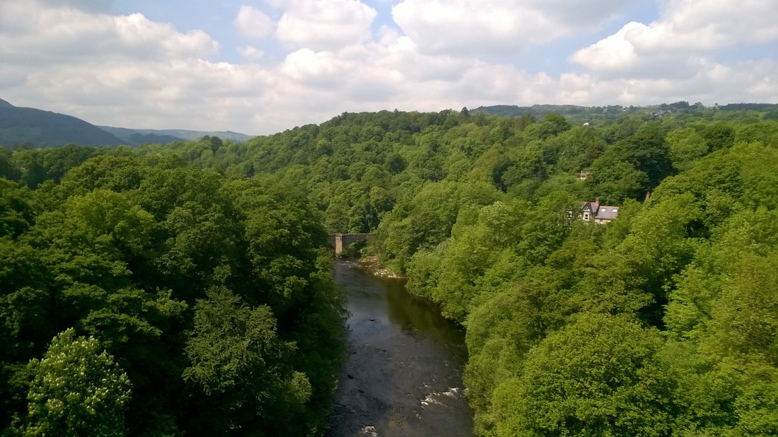
The Aqueduct carries the Llangollen Canal over a valley in which runs the River Dee. Completed in 1805 it is the longest and highest Aqueduct in the United Kingdom.
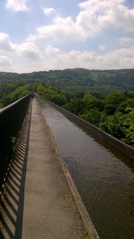
It was built by Thomas Telford and William Jessop and is 307m long 3.7m wide and consists of a cast iron trough supported on eighteen masonry pillars with 16m spans 38m above the river.
Originally the aqueduct was part of the Ellesmere Canal and the work was undertaken by Telford under the supervision of Jessop. The iron was supplied by William Hazledine from his foundries in Shrewsbury and Cefn Mawr. It opened on 26 November 1805 having taken some ten years to design and build at a cost of £47,000.
|
Walking across the aqueduct. The tow path used by horses to pull the barges is just on one side. On the other side is a shear drop to the river below.
|
Half way across - View of the River Dee from the aqueduct looking South.
|
Half way across - View from the aqueduct looking North. An old road bridge across the river can be seen in the distance.
ST.MAry's CHURCH - PRESTWICH
St.Mary's Church, Prestwich photographed late evening on 18 May 2016 as we walked back to the car after a walk along the nearby stream which meanders through a wooded valley.
There is evidence that there has been a church on this site since at least 1200 although the tower of the current church was built in about 1500 and the rest of the church rebuilt in the early part of the 16th Century. Building work and alterations have continued up to the 20th Century.
In 1756 the South porch was rebuilt, the East Vestry was also rebuilt in 1803 and in 1860 the chancel was extended. In 1872 a new chapel was added to the South side of the church and in 1874 the chapel on the East side was rebuilt. In 1889 some major alterations were completed to the building including the addition of an organ chamber and vestry. A porch was added to the North in 1895. Alterations in 1959 involved the removal of the North and South galleries.
The church is constructed in red sandstone with stone slate roofs. The tower is in three stages and rises to a height of 86 feet (26 m). It has a stair turret in the northeast corner.
The original organ was made in 1825 but was moved to a church in Preston in 1891. It was replaced in 1889 by a new organ built by the Belgian firm of Anneesens which cost £1,000 and was given to the church by the 4th Earl of Wilton. By 1901 the organ had become unplayable and it was replaced by an organ by Abbott and Smith. This too was replaced in 1964 by an organ made by J.W.Walker who made use of some of the pipes from the previous organ.
Originally there were four bells in the tower, these were recast into five bells in 1721 and a sixth bell was added at the same time. These were all replaced in the 20th century by eight bells, all cast by John Taylor, two of them in 1910, and the rest in 1919.
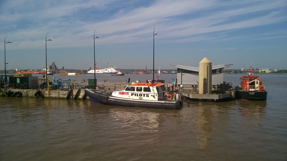
BUSY DAY ON THE MERSEY
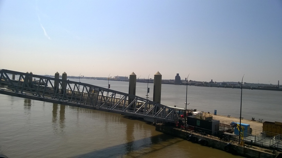
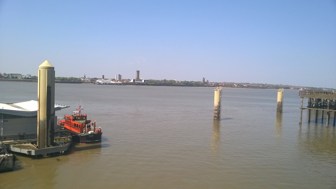
I am in Liverpool again today and stayed in the city overnight after attending an event at work yesterday evening. I went out earlier and the river was quite busy which coincided with the high tide.
Ships visible from right to left are:-
Kittiwake (Pilot)
Puffin (Pilot)
Snowdrop (Passenger ferry)
Stena Lagan (RoRoFerry)
Afon Menai (Tug)
Afon Las (Tug)
Svitzer Bidston (Tug)
Loch Rannoch (Crude Oil Tanker)
Ashgarth (Tug)
I have also seen a number of new ships over the last few days including
Atlantic Star (IMO 9670573, Vehicle Carrier,1997)
Cementos Cantabrico (IMO 7400443,Cement Carrier,1976)
Fehn Luna (IMO 9130212, General Cargo Ship,1997)
Loch Rannoch (IMO 9160619, Crude Oil Tanker,1998)
Suoyarvi (IMO 9116773, General Cargo Ship,1994)
Blue Note (IMO 9491915, General Cargo Ship, 2010)
Picture taken at Princes Dock, Liverpool - 3 June 2016
PRINCE'S DOCK, LIVERPOOL - OLD TRACKS
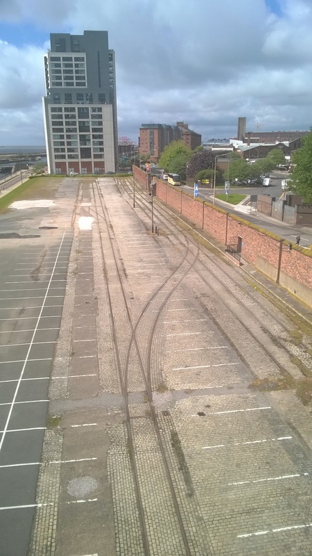
Railway tracks alongside Prince's dock photographed on 18 May 2016. This parcel of land is shortly due to be built on and the tracks will no doubt be removed as part of the construction work.
The old dock wall can be seen to the right.
Construction of the dock started in 1810 and it was opened in on the day of the Prince Regent's coronation as George IV in 1821.
The old dock wall can be seen to the right.
Construction of the dock started in 1810 and it was opened in on the day of the Prince Regent's coronation as George IV in 1821.
LIVERPOOL, 15th PORT - 1944
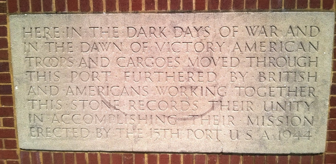
Stone plaque photographed at Pierhead, Liverpool on 18 May 2016.
It commemorates the unity between Britain and America during World War II and the fact that over 1 million US soldiers and cargo/supplies passed through the Port of Liverpool on their way to take part in the D-Day Landings.
I also believe it commemorates the Port Battalions of the US Army Transportation Corps who were based in Liverpool and worked as stevedores, winchmen, signalman, riggers etc alongside their UK counterparts. Many of those serving in the Port Battalions would have been part of the D-Day Landings and gone on to work in recaptured ports in mainland Europe or taken part in the Pacific Theatre of operations.
MERSEY VISIT - 12 MaY 2016
On the 12 May 2016 I was back in Liverpool with work for the first time in many months.
Taking my normal route I came into the city from the North using the dock road all the way into the city centre before parking up and spending the day at Princes Dock.
In total I added eight new ships to my list which apart from a few vessels seen on the Thames whist attending a training course earlier in the year had not been updated with any real ships for some time.
First new ship I saw was the container ship Nicolas Delmas (IMO 9220861, GT 26061, 2002) which was being unloaded/ loaded at the Seaforth Container terminal. Further down the docks was Arklow Brave (IMO 9638800, GT 2400, 2015) which is a relatively new addition to the Arklow fleet, bulk carrier China Spirit (IMO 9655846, GT 22434, 2013) and research vessel Fugro Helmert (9662978, GT 496, 2013). All these ships have since left Liverpool, Nilcolas Delmas headed to Le Harve, Arklow Brave went to Ghent, China Spirit set sail for Gibralter and Fugro Helmert went back to work off the North Wales coast.
The multi storey car park was busy at Princes Dock and as a result I had to park close to the top floor. This had the advantage of getting good views both up and down the river. I saw Heavy Load Carrier Jumbo Javelin (IMO 9243837, GT 15022, 2004) in Camell Lairds basin and looking North veteran Heavy Load Carrier Zhen Hua 25 (IMO 8700242, GT 38255, 1998) was unloading new cranes at the docks. Again at the time of writing these vessels have both left Liverpool with Jumbo Javelin heading to Rostock and Zhen Hua 25 to Port Said.
Taking a break at lunchtime I walked to the river front but apart from the pilot boats the river was quiet and calm, in the distance I could see the Container Ship Antwerp (IMO 9175781, 1999) heading slowly into port and later on my way home MSC Anahita (IMO 9148025, 1997) was in the docks.
PENNINGTON FLASH
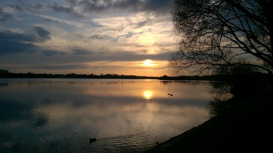
Sunset over Pennington Flash, Leigh in North West England photographed as we got back to the car after a walk on 2 April 2016.
Pennington Flash is on land that was prone to flooding in an area where there was subsidence from the local coal mines, a 'Flash' is a term for water filled hollow formed by subsidence.
Up to the early part of the 20th Century the land was used for farming but two farms eventually became flooded completely and had to be abandoned, the first Lower Allanson’s in 1907 and Urmston’s-in-the-Meadows in about 1910. During the 1920s the Flash sometimes almost disappeared and at other times caused flooding to nearby residential areas and farmland.
In November 1923 the residents on the northern edge of the Flash were forced to leave their homes because of flooding. A farm on the south side of the Flash was flooded in Spring 1926, sometimes the flash almost completely disappeared as in July 1926 but each winter the water returned. Summer 1927 brought another drought and once again there was very little water in the Flash, however floods in September and severe gales in October brought the water level up again. A railway that crossed the area was underwater in January 1928 and in May of the same year the track was reinforced and the rails re-laid.
Between January and March 1929 the Flash was completely frozen over for the first time since 1907. A storm in January 1930 caused the banks to break again causing severe flooding in the surrounding area. By the Summer 1930 the water had almost completely disappeared with the water only ankle deep. Yet again the water returned in the Winter months. The cycle of the water drying up in Summer and then the returning in winter with the risk of flooding the local area seems to be a reoccurring theme that continued up to the 1960's.
In 1951 a weir was built to control the minimum level of water in the Flash but in August 1962 freak storms caused more floods. In December 1964 there was more local flooding and a £4000 plan was put into operation in March 1965 to prevent more flooding, this seems to have failed as the surrounding areas were flooded both in February & July 1968.
During the 1970s the idea for using the for recreation and conservation were emerging and a total of 858.25 acres, costing approximately £300,000 was bought.
Pennington Flash Country Park was officially opened in 1981. The Park has a number of tracks and paths that offer walks of varying length through the nature reserve. More than 230 species of bird have been recorded. Insects are also abundant with 20 species of butterfly and 16 species of dragonfly being recorded in recent years. Wild flowers also grow in profusion around the nature reserve.
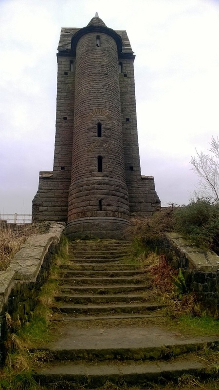
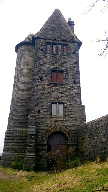
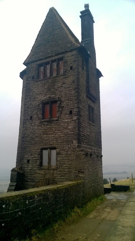
PIGEON HOUSE, RIVINGTON - 1910
The Pigeon House photographed late evening on 12 March 2016.
This was built in 1910 for Lord Leverhulme as part of his vast ornamental gardens on the side of Rivington Pike.
It is built in gritstone and is four storeys high each storey having a single room accessed by a semicircular stair turret on the West side.
The lowest level is the entrance which is cut into the hillside, the first and second floors were dovecote's each having light chamfered mullion windows and dove holes in the external wall with landing places for the birds.
The third floor was designed as a sitting room and has windows on the North & South sides, it is said that Lady Leverhulme used this floor as a sewing room.
The tower fell into disrepair in the 1970's but was repaired in the 1980's.
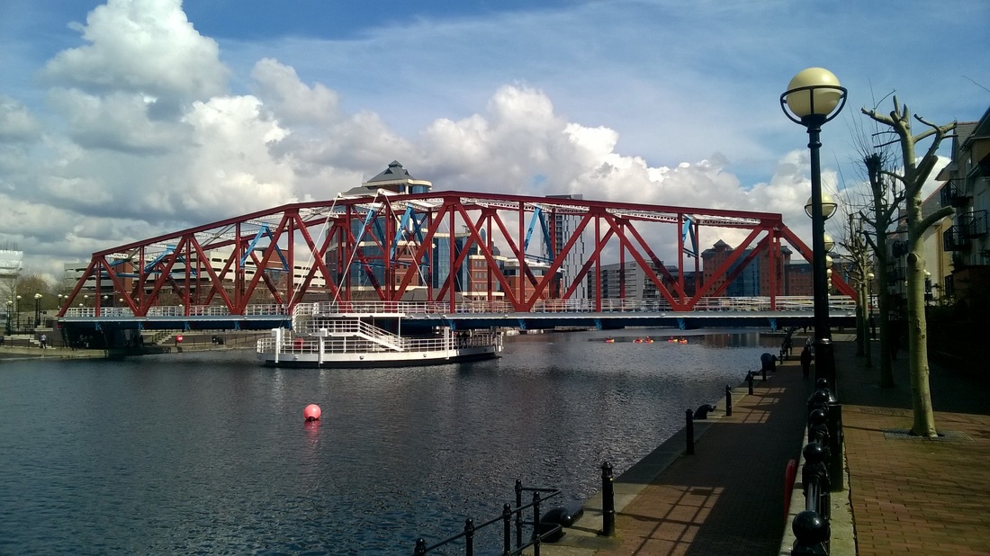
SALFORD DOCKS - DETROIT BRIDGE - 1942
Detroit Bridge photographed on 13 April 2016. I visited the bridge on a bright and sunny lunchtime from one of our offices a short walk away.
The bridge used to be a twin-track railway bridge, one of a number of swing bridges spanning across the Manchester Ship Canal. It was built in 1942 and replaced a single-track rail swing bridge built in 1895.
The bridge weighs approximately 300 tonnes and was built by Dorman Long. It is 80m long, 9m wide and over 10m high above deck level.
With the decline of dock industry in Salford, the bridge became redundant in 1981. It was refurbished in 1988 and floated to its current location to start a new life as a pedestrian bridge across one of the docks. The refurbishment included installation of a hardwood timber deck for use by pedestrians together with the removal of all the mechanical equipment.
The bridge was refurbished again in 2005 at a cost of £500,000. The decking was replaced with non-slip GRP planks and the bridge was repainted.
An interesting feature is the addition of an observation deck below its redundant pivot in the middle of the canal basin, this is accessed by curved staircases on both sides.
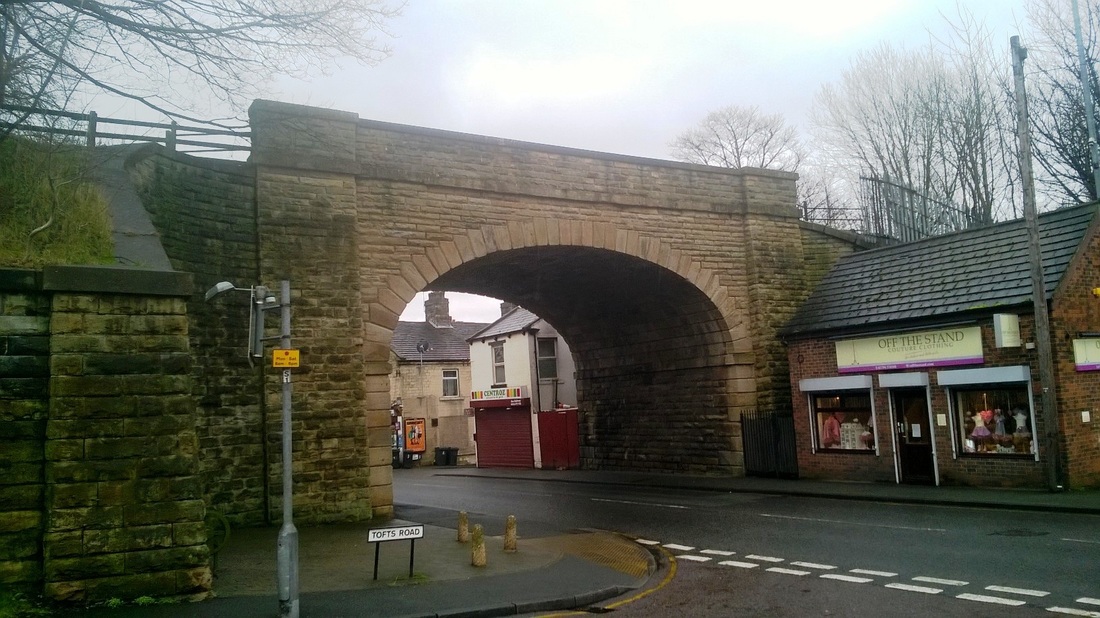
WESTGATE BRIDGE, CLECKHEATON - 1848
A railway bridge near Cleckheaton in Yorkshire photographed on a cold and damp 17 February 2016.
On the evening of 22 June 1928 seven coal waggons plunged off this bridge into the street.
A coal train was being shunted into sidings to make way for the London express when a coupling broke and the waggons ran away. They crashed through the buffers and landed on the butchers shop that once stood here totally destroying it. Miraculously no one was hurt or injured.
This bridge originally carried the Lancashire & Yorkshire Railway over Westgate and connected Low Moor with Dewsbury when it opened in 1848.The line closed to passenger traffic in 1965 and to goods traffic in 1981.
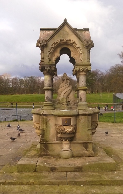
GOTHIC FOUNTAIN - 1872
Gothic revival style drinking fountain photographed in Sefton Park, Liverpool on 5 March 2016.
The fountain is located within the park near the South end of the lake and was designed by Lewis HornBlower and Edouard Andre who were responsible for the design of the park.
The fountain has a sandstone base and canopy supported by granite or marble pillars with four iron water basins, under the canopy are entwined dolphins.
The controls for the fountain are now blanked off and the feature sadly no longer works.
The fountain dates to 1872 when the park was opened by Prince Arthur.
Judging from the wear to the sandstone base this has in the past been a popular feature and has been used by countless visitors to the park.
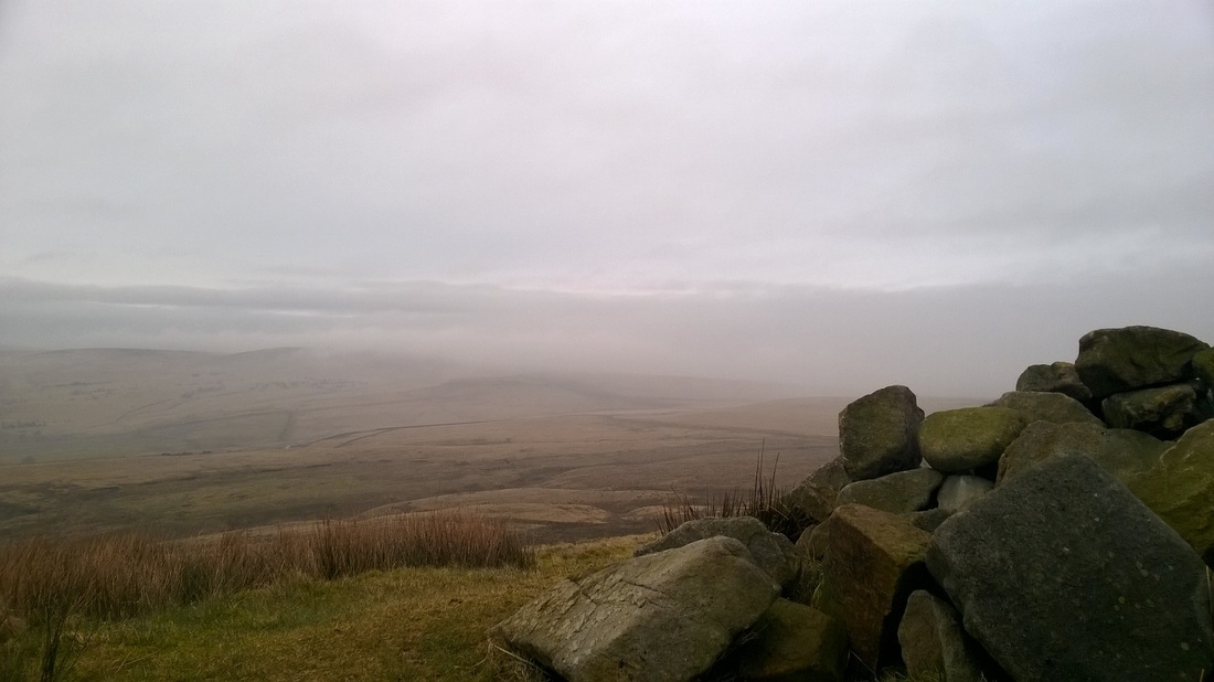
NOON HILL BURIAL MOUND, RIVINGTON - BC1100
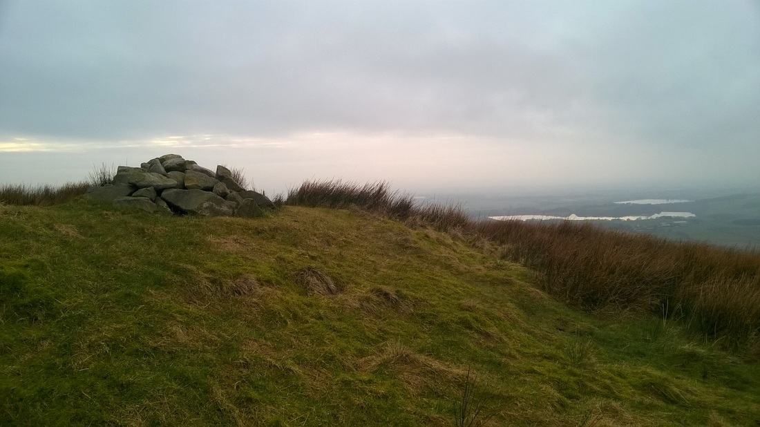
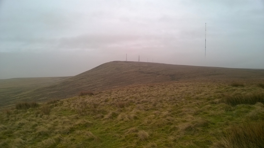
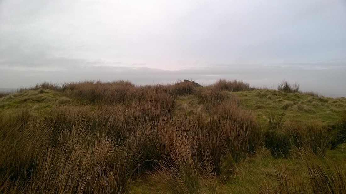
Photographs from the top of Noon Hill near Rivington, Lancashire early evening on 12 March 2016.
The hill is 380m high and forms part of the West Pennine Moors.
On top of the hill is a bronze age burial mound which is marked by the stones in the picture. It is one of two similar burial mounds in the area, the other being approximately a mile to the East.
The mound has been dated to 1100BC and has been excavated on two occasions (1958 and 1963/4). It is located on the North edge of the summit and includes a slightly oval mound of earth and stones 1.3m high and measures 21m North-South and 19m East-West.
On the monument's southern edge there are three partially exposed gritstone boulders which form part of the cairn's kerb which once ran around the perimeter of the mound. The excavation of the cairn located the primary burial at the monument's centre. This comprised three cremations interpreted as an adult male, adult female, and a child, located beneath a collapsed enlarged food vessel and inserted into a central stone cist.
Three or four secondary cremations and a number of flint tools including barbed and tanged arrowheads, scrapers and a knife were also found during these excavations.
Round cairns are prehistoric monuments and span the period BC700 to BC2000, they were constructed as stone covered mounds covering single or multiple burials, these burials are commonly found within the mound in stone lined compartments called cists. In some cases they were surrounded by a ditch and like the one at Noon Hill they are often found in prominent locations.
HOLY TRINITY CHURCH - SKIPTON
Holy Trinity Church in Skipton photographed on 12 November 2015 when I was visiting the town for a meeting.
The first church on site was built in the early 12th Century and was probably constructed from wood.
The current church dates from about 1300 and was extended to the East in the late 15th Century. The church was damaged during the siege of Skipton in the English Civil War but was repaired and restored in the 1650's with the financial assistance of Lady Anne Clifford of nearby Skipton Castle who's fathers tomb was in the church.
In the 1853 the tower was struck by lightning.
In 1909 it was restored by Lancaster Architects Austin & Paley who had the galleries removed, a North Transept and new vestries added and new seating installed.
The church was struck again by lightning in 1925 causing a fire that destroyed the organ and damaged the roof.
In 1979 the lady Chapel was bult in the South East corner of the church and more recently a prayer corner was built in a corresponding position at the North East corner of the church.
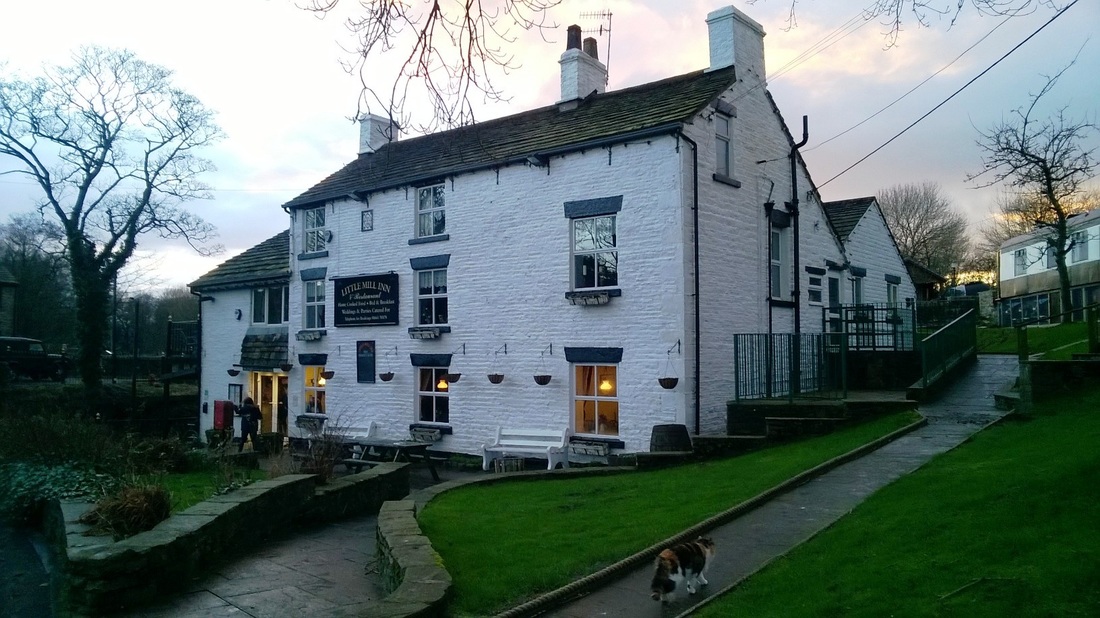
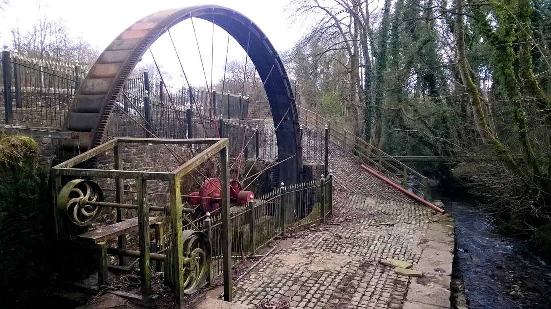
little MILL, ROWARTH - 1781
Little Mill in Rowarth photographed on 14 February 2016.
Rowarth is a tiny village located near New Mills in the North West of the Peak District.
The mill was built in 1781 and is now a pub, power for the mill was provided by the stream running by the side of the building which drove the waterwheel. The wheel photographed is a replacement for the original which was destroyed during a great flood in 1930.
We parked near the pub and did a circuitous walk along footpaths and bridleways walking up into the hills before heading back down into the village as the sun was starting to set, after a drink in the pub we headed home.
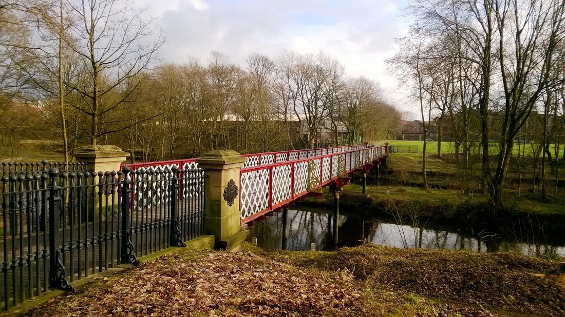
DOBSON'S BRIDGE, BOLTON - 1878
Dobson's Bridge in Queens Park, Bolton photographed on 13 February 2016.
In the mid-18th Century the site of the park was pastureland known as Spa Fields. Originally known as Bolton Park the name was changed to honour Queen Victoria's Jubilee. The park was constructed not only to enhance the town but to relieve unemployment caused by the lack of raw cotton due to the American Civil War. The site was bought after a review of possible locations around the town and in September 1864 William Henderson a landscaper from Birkenhead was appointed to prepare plans and to supervise the work.
Work commenced later in 1864 and the park was formally opened on 24 May 1865 by Lord Bradford, the opening was attended by an estimated 20,000 people, business throughout the town was suspended and there was a holiday atmosphere, a prominent feature of the days celebration being a public procession that started in the town centre.
In 1875 an additional area of land was acquired South of the River Croal and the park was extended.
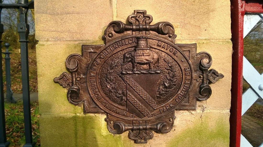
The bridge photographed was constructed to connect this land to the existing park and provide better pedestrian links with the town centre. The bridge was officially opened in 1878 by B.A.Dobson who was at the time Chairman of the Park Committee. The bridge is constructed from lattice beams, cast iron and stone and has recently been restored back to its original condition after being closed due to safety concerns.
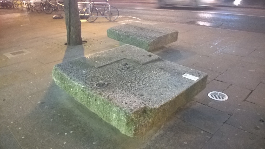
NEW LONDON BRIDGE COPINGS - 1831
Stone copings photographed on 9 February 2016 during my evening walk from my hotel near Tower Hill.
They were originally part of New London Bridge which replaced the old London Bridge in 1831.
Old London Bridge was narrow and decrepit which is not really surprising when you consider it was over 600 years old. New London Bridge was built 30m West of the original bridge and after a design competition in 1799 work began in 1824 and the bridge was opened on 1 August 1831 by Kind William IV and Queen Adelaide. Old London Bridge was subsequently demolished.
The bridge was 283m long and 15m wide and was constructed from Haytor Granite from Dartmoor. The East side of the bridge was in the 20th Century noted as starting to sink and in 1967 the bridge was sold for $2.46m to America Entrepreneur Robert P McCulloch and removed stone by stone and re-erected in Lake Havasu in the USA. These two copings were unearthed on the South side of the bridge during construction work for a sculpture. They are now used as low seats.
TOWER HILL MEMORIAL - 1928
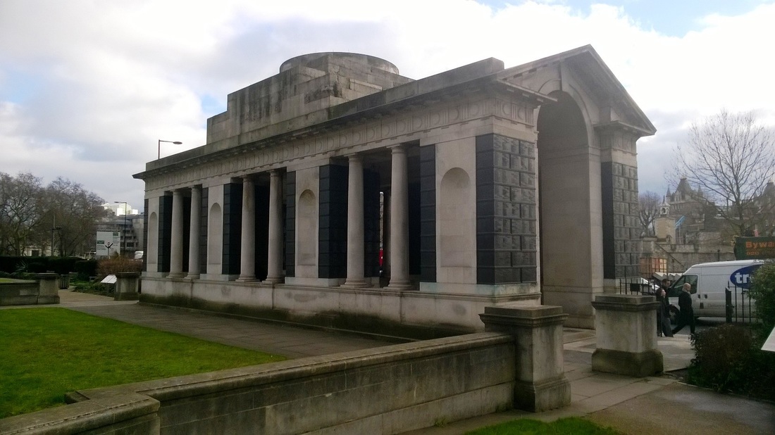
Tower Hill Memorial photographed on 9 February 2016.
I took the picture during my lunch break when I had a walk in the sun from the hotel where the two day course I was on was being held down to the river.
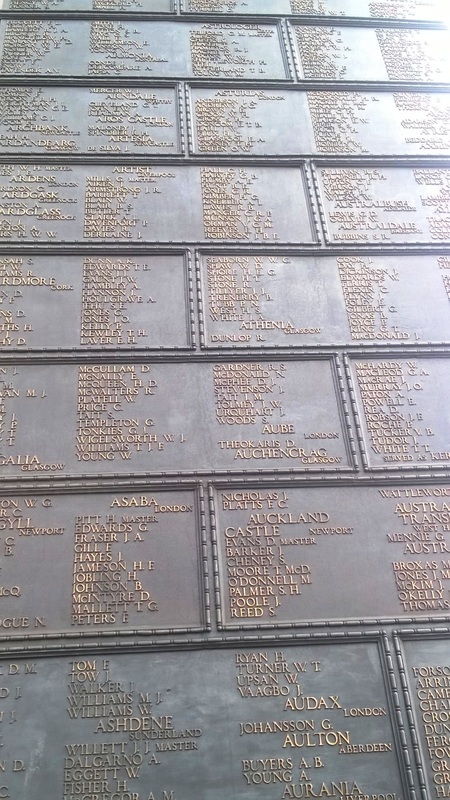
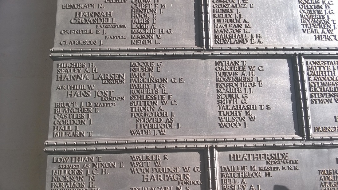
The memorial commemorates the men and women of the Merchant Navy and Fishing Fleets who died in both World Wars and who have no known grave, it stands on the South side of the garden of Trinity Square close to the Tower of London.
The building photographed is the memorial to those lost in the First World War and was designed by Sir Edwin Luytens and unveiled by Queen Mary on 12 December 1928.
In total almost 12,000 First World War casualties are remembered.
ST.PETER'S CHURCH, STOCKPORT - 1768
On the 4 February 2016 I was in Stockport with work, after a morning meeting at the Town Hall I headed back to the car via a sandwich shop and took this photograph on the way.
St.Peter's Church was built in 1768 at sole expense of William Wright of Mottram Hall who was Lord of the Manor of Offerton and Mottram St Andrew, he had a town house nearby and built this as a chapel of ease. The church was built on open ground on the outskirts of the old town.
The building is built of brick in Flemish bond with rubbed brick and stone dressings, it has a slate roof and a square tower with an octagonal bell turret with a copper roof, the tower has a single bell dated 1768.
Although the original plan of the church was rectangular the church has had a number of modifications over the years including a west gallery which was constructed in 1782, side galleries were built in 1838 and a 1880 phase which added a larger chancel and removed the 1838 side galleries. Low vestry blocks were also added in about 1920.
The church nave contains the 1769 chair frame clock formerly in the bell tower, now restored to working order it is claimed that this is the oldest working public clock in Greater Manchester. It was installed just after the church opened in 1769 and was made by John Whitehurst (1713-1788) of Derby.
CHEESDON VALLEY & SCOTLAND LANE - BIRTLE
Cheesden Valley photographed during a circuitous walk from the nearby village of Birtle on 24 January 2016. The valley runs on a North-South alignment and is located between Bury and Rochdale.
Cheesdon Brook runs through the valley and eventually joins Naden Brook.
Flints from the Meosolithic period have apparently been found in the valley indicating human activity from 8000 BC. These were noted as being discovered on higher ground close to water and may have been left by bands of hunters moving through the area.
In later times the people who farmed the inhospitable countryside made a living by weaving probably using wood from their own sheep, this was followed by mills during the industrial revolution. We saw a number of overgrown quarries during our walk and as early as 1580 coal mining had been granted in the area.
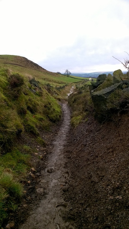
Scotland Lane looking West. The lane after passing through a farmyard which you can see in the distance changed to a narrow sunken stone paved footpath before becoming a muddy track that followed the edge of the hill. The path eventually reached a high point skirting the remains of an old quarry before turning South and downhill back towards the village.
YARMOUTH HARBOUR & BOAT YARD
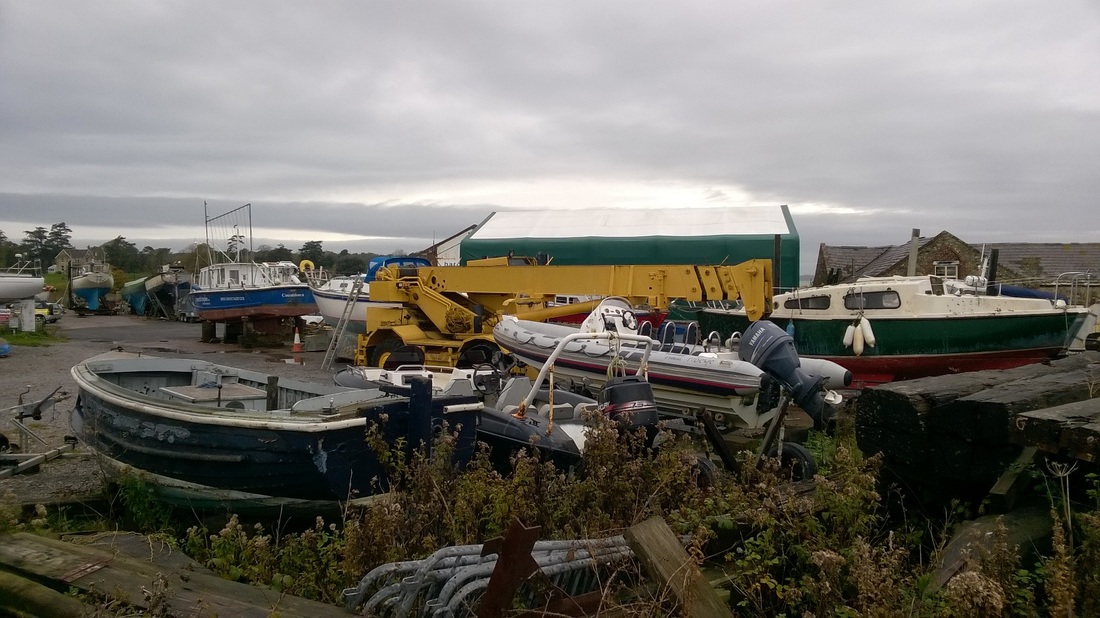
Yarmouth harbour and boat yard photographed on 30 October 2015.
Yarmouth was established as a settlement in about AD991 and was called Eremue. It has had a turbulent history and was for a long time on the front line during the 100 Years War with France.
The town has its own castle which is on the shoreline which was built in the 1540's to defend the town.
The Harbour breakwater was constructed in 1847 at a cost of £1,200 and in 1863 the first road bridge was opened across the River Yar. Before that, passengers were taken to and from Yarmouth by ferry. In 1876 a pier was built and is reputed to be the longest timber pier in the country still open to the general public.
Between 1889 and 1953 Yarmouth was linked with other Island towns by a railway line.
The town is home to the Wightlink Yarmouth - Lymington ferry and the RNLI Lifeboat is based in the Harbour.
HALIFAX TOWN HALL - 1863
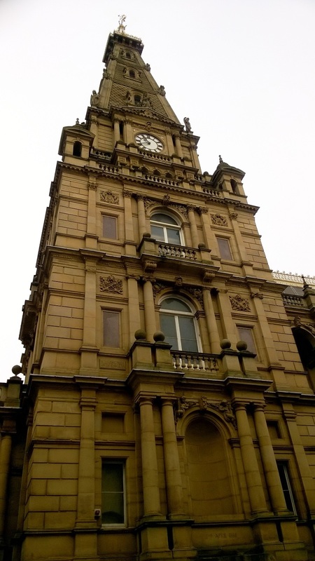
I had a meeting in Halifax on 23 November 2015 and on my way back to the car took the above photograph of Halifax Town Hall's clock tower
A Town Hall was first proposed here in 1847 and again in 1856 as the council had no central offices.
Building work commenced in 1861 and was completed in 1863 by Whiteley Brothers Builders at a cost of £50,126.
The Architect was originally Charles Barry but he passed away in 1860 and his son Edward Barry completed the design which was erected on a 148 x 90ft plot.
The building was opened during a two day visit by HRH the Prince of Wales who later became King Edward VII on 3 and 4 August 1863. Over 300 trains brought approximately 70,000 people to the town with thousands getting to the event by foot and by other means. The 18 year old Princess of Wales was due to attend and I have read she was to be the star attraction but unfortunately she was absent due to illness. When Edward arrived by royal train he was greeted by a two gun salute and a guard of honour of 300 soldiers.
The tower is 180ft high and built from local Ringby Sandstone from Swales Moor.
The clocks were originally wound by hand but were updated and eventually electrified in 1963. The bells have not rung at night since 1918 when Dame Nellie Melba who was one of the most famous sopranos of the late Victorian / early 20th Century era complained they disturbed her whilst she was staying at the nearby Halifax Princess Hotel.
BEMBRIDGE FORT - 1867
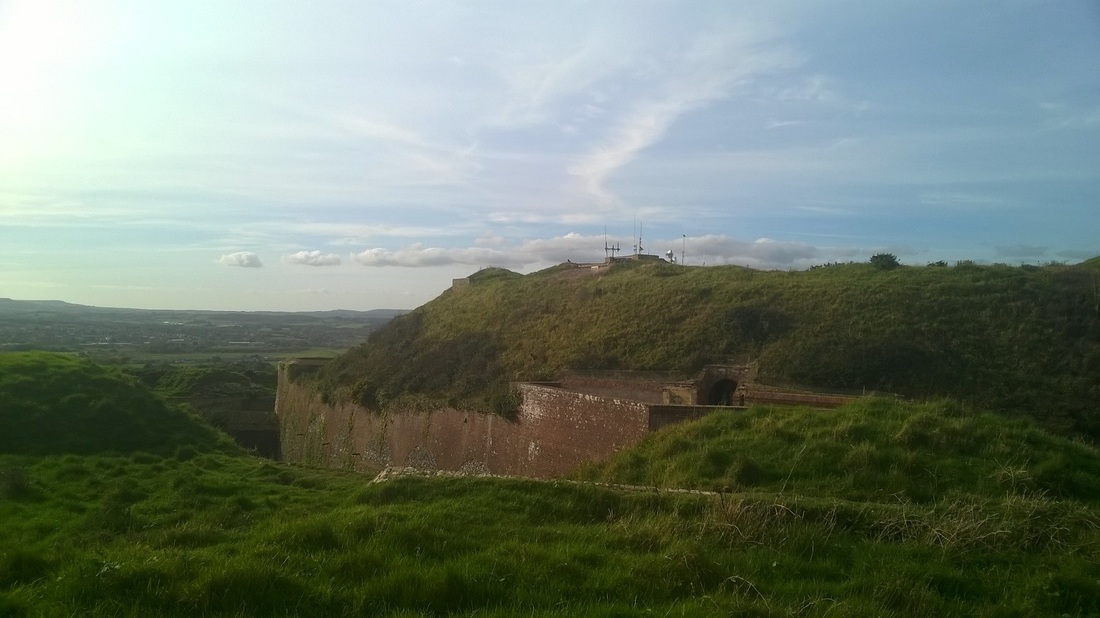
Bembridge fort photographed on 25 October 2015.
This was one of a number of fortifications constructed as part of an 1860's Royal Commission into the defences of the Isle of Wight and Portsmouth.
It occupies a prominent position on Bembridge Down and was designed to service coastal batteries along the coast and to serve as a last stand should the Island by invaded.
The fort is roughly hexangonal in shape and surrounded by a very wide and deep ditch, accommodation was provided for 4 officers and 106 men.
Work commenced in May 1862 and the project was completed in July 1867 at a cost of £48,925.
The fort was to be armed with 20 guns but this changed and the initial armament consisted of six 7 inch guns. These were replaced in 1893 by six 64pdr's and two 4 inch guns. In 1900 the 64pdr's were removed and in 1905 two 5 inch howitzers, three 9pdr's and 8 machine guns were installed, in 1907 the number of machine guns had reduced to 4 and the six 15pdr replaced the 9pdrs. By 1901 the fort was equipped with just two machine guns.
From 1880 to 1900 the fort was used as an experimental test facility for anti-submarine and anti-torpedo devices with cables running down to the sea to try and detect passing metal objects. During Word War 2 the fort acted as a coordination point for nearby coastal defence batteries.
The site was decommissioned in 1948.
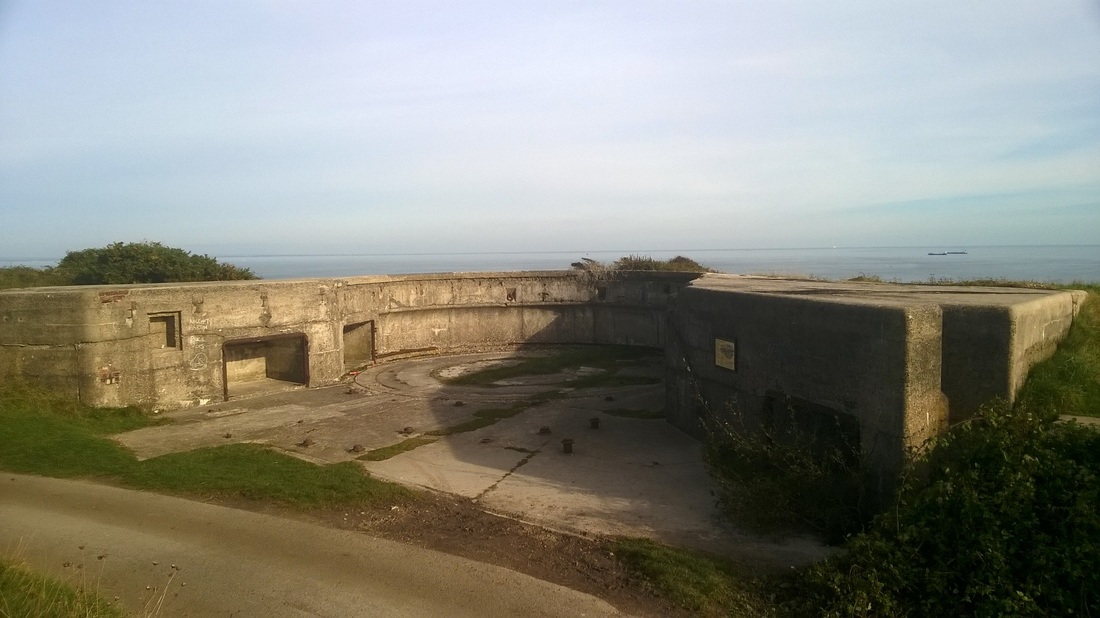
CULVER POINT COASTAL ARTILLERY BATTERY - 1906
We visited Culver battery on 25 October 2015 whilst on holiday on the Isle of Wight.
Culver battery is a former coastal artillery battery sitting on cliffs some 300ft above sea level on the East side of the Isle of Wight and is one of several fortifications built on the island.
Culver battery is a former coastal artillery battery sitting on cliffs some 300ft above sea level on the East side of the Isle of Wight and is one of several fortifications built on the island.
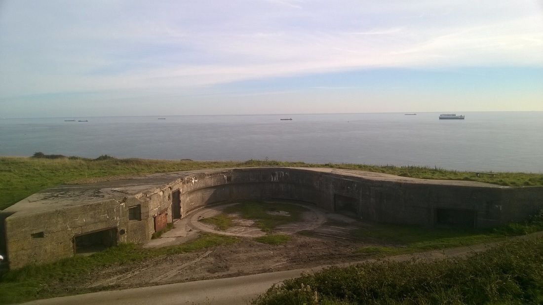
View of the southern most gun emplacement with shipping waiting to gain entry to Fawley and Southampton visible off the coast.
The Northern emplacement
A battery was first proposed here in 1887 to stop enemy ships firing unopposed at nearby existing batteries and shipping. The plan was to arm the fortifications with three 6 inch breach loaders together with two quickfiring 6-pounder guns in support. The guns were to be fitted on hydraulically operated mounts that could lift the guns into position for firing but drop them out of sight below the line of the fortification when required.
For a number of reasons work on the construction of the fortification did not commence until May 1904 and was completed in July 1906. The fortification was constructed with two main gun emplacements built from brick and concrete each housing a 9.2 inch Mark X gun. A quickfiring 6-pounder gun was also installed for use as an anti-aircraft weapon.
During the First World War the battery had an important role in protecting enemy ships entering the Solent.
Between 1922 and 1924 the barbettes were replaced with new mountings that enabled the guns to be elevated up to 30 degrees, increasing the effective range to over 5,500m.
During the Second World War the fortification was manned by 118th Battery from the 527th Coast Regiment. The two main guns had by 1939 been improved upon again and now had an effective range of approximately 16,000m.
The battery was decommissioned in 1956 and the buildings demolished.
BRADSHAW BROOK
Bradshaw Brook photographed on a cold, damp, Sunday afternoon in November.
The Brook starts on the moors above Bolton and feeds a number of reservoirs before eventually flowing into the River Tonge just East of Bolton.
We did a three mile walk around one of the reservoirs and I took this picture as we crossed the brook for the second time on our way back to the car.
Picture taken 23 November 2015.
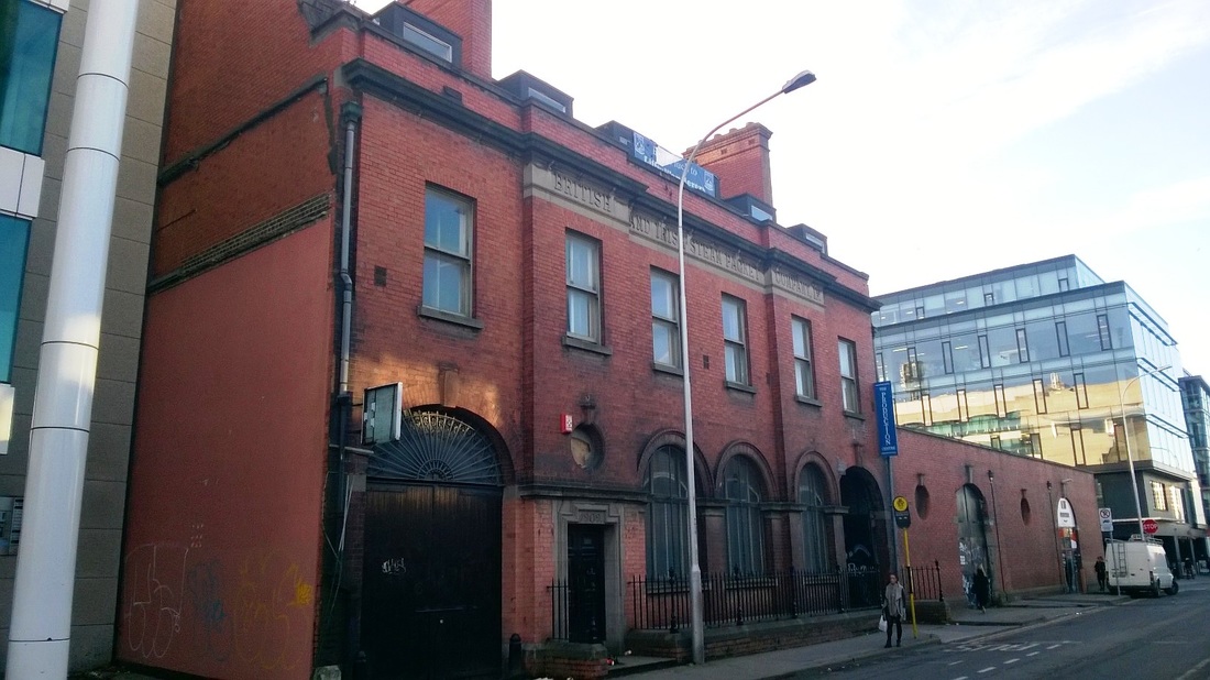
BRITISH & IRISH STEAM PACKET COMPANY, DUBLIN - 1909
We walked past this building whilst exploring Dublin on 11 November 2015.
This was originally the offices of the British & Irish Steam Packet Company which was designed by William Henry Bryne & Sons and completed in 1909.
The building faces onto the quay and is one of the older buildings left in the area.
The Company formed on 27 July 1836 after a group of Dublin businessmen met in the Commercial Buildings in nearby Dame Street.
The company’s first ships were all wooden paddle steamers and initially sailed between Dublin and London calling at Plymouth. Other vessels soon joined the fleet and by 1845 they were investing in auxiliary steam powered vessels.
In 1860 they bought the small paddle steamer 'Mars' to operate the Dublin to Waterford service but this route was abandoned in 1863 and the Mars was sold to American owners, interestingly she was later used as a blockade runner in the American Civil War.
In 1870 they bought the Waterford Steam Ship Company's London service together with a number of vessels and in 1920 took over the City of Dublin Steam Packet Company.
By 1917 all the B&I Shares were owned by Coast Lines who also owned a number of other companies, the Irish Government bought the Company in 1965 and operations continued until the early 1990's.
LANCASHIRE & YORKSHIRE RAILWAY, RISHWORTH BRANCH LINE - 1878
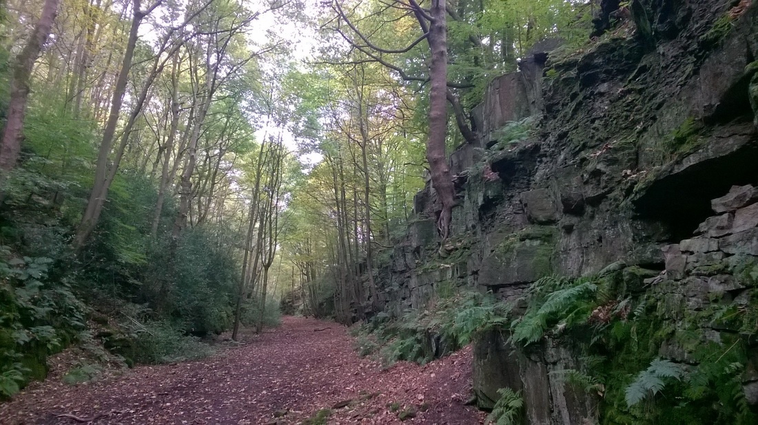
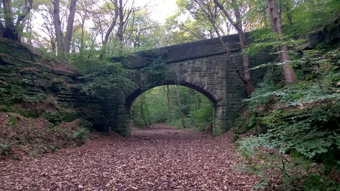
Railway cutting and a road bridge over the old line near Ripponden in Yorkshire on part of the Lancashire & Yorkshire (L&Y) Railways Rishworth Branch line. We walked along the old line for a while on 18 October 2015 as part of a 6 mile circuit.
When the L& Y submitted plans for this branch in 1865 they envisaged continuing beyond the head of Ryburn Valley, through a long tunnel under Rishworth Moor, to rejoin the existing Calder Valley line near Rochdale so reducing the distance from Sowerby Bridge to Rochdale by five miles.
Difficulties in building the tunnel and landslips delayed opening until 1878 and progress with the extension west of Rishworth never got beyond the planning stage.
This section was opened to passengers on 1 July 1878 and to goods traffic on 5 August 1878.
The line was closed to passenger trains in July 1929 and to goods traffic in 1958.
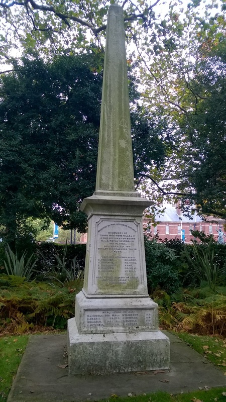
HMS ROYAL SOVEREIGN MEMORIAL - 1901
Naval memorial photographed in Victoria Park, Portsmouth on 27 October 2015.
The memorial commemorates the lives lost by a gunnery accident on HMS Royal Sovereign caused by the premature ignition of a cartridge in a six inch gun before the breech had been closed, the men killed were all buried at sea.
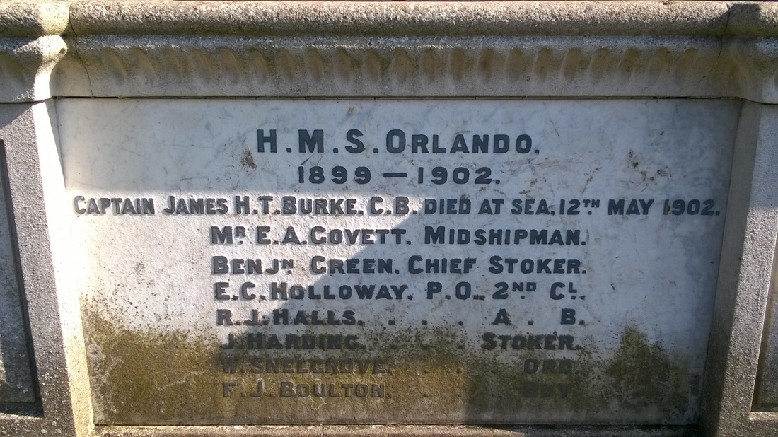
The memorial reads - 'ERECTED BY THE OFFICERS AND MEN IN MEMORY OF THOSE KILLED IN A GUN ACCIDENT ON BOARD HMS ROYAL SOVEREIGN OFF PLATCA NOVEMBER 9TH 1901 WHILST DISCHARGING THEIR DUTY.' 'CAPT. H.W. SPURWAY, R.M.A. / C. PRIMMER CH. ARMr / F. OSBORNE P.O. 1st Cl / L. COLBORNE ARMr /H. GARDNER PO 2nd Cl / C. CONNOR Ld SEAm' 'ALSO TO THE MEMORY OF THOSE/WHO DIED DURING THE/COMMISSION' 'MR R.E. JOHNSTON M.D. / H.J. CUDDLEYFORD M.A. W.W. MASON A.B. / R. HEARD CH. STO. C. NEWMAN A.B. / W. WALKER P.O. 1TC D. RUNDLE STO. / A. MITCHELL A.B. A. JORDAN STO.'
HMS Royal Sovereign was the lead ship of the Royal Sovereign class of battleship and was the largest warship in the world at the time of her construction. She was laid down on 30 September 1889 and completed in 1892. Built at the Portsmouth Dockyard at a cost of £913,986 she was 125.1m long with a 23m beam, 8.38m draught and had a complement of 712 officers and men.
Powered by twin coal fired Humphreys & Tennant 3 cylinder triple action steam engines (9,700kW) and twin screws she had a cruising speed of 15.7 knots.
Armament consisted of four 13.5 inch guns in two open barbettes, ten quick firing 6-inch guns, ten 6 pounders and six 18 inch torpedo tubes. Armour varied from 64mm to 76mm on the deck to 356mm to 457mm in the main belt.
She was christened by Queen Victoria on 26 February 1891 and after sea trials was commissioned into the fleet on 31 May 1892. In September 1909 she was paid off in Devonport and sold for scrap in October 1913.
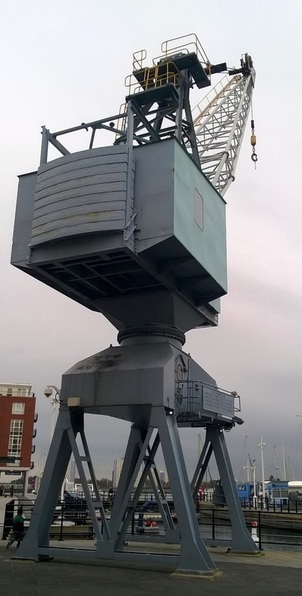
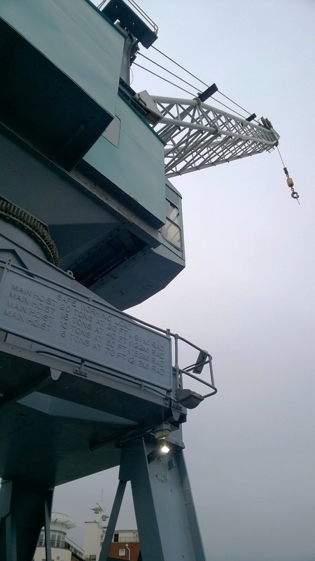
STOTHERT & PITT CRANE - PORTSMOUTH
Stothert & Pitt crane photographed in Portsmouth on 27 October 2015.
Although this crane and the associated docks now form part of the Gunwharf Quay shopping centre they were originally part of HMS Vernon the Royal Navy's Torpedo Branch which occupied this site from the end of the First World War until 1996.
Stothert & Pitt were founded in Bath in 1785 by George Stothert after taking over an Ironmongery business. As an agent for Abraham Darby's Coalbrookdale Iron Company George sold all kinds of domestic ironmongery but by 1815 he had set up his own foundry .They became Stothert and Pitt in 1844 when Robert Pitt joined the business and in 1851 they exhibited a hand crane at the Great Exhibition.
The Company supplied electric powered cranes to the Southampton Dock Authority in 1892 and developed the first bulk handling cranes in 1927.
During the second World War they built tanks and miniature submarines.
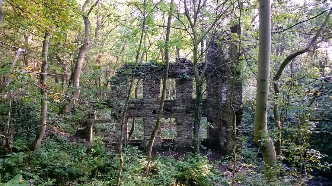
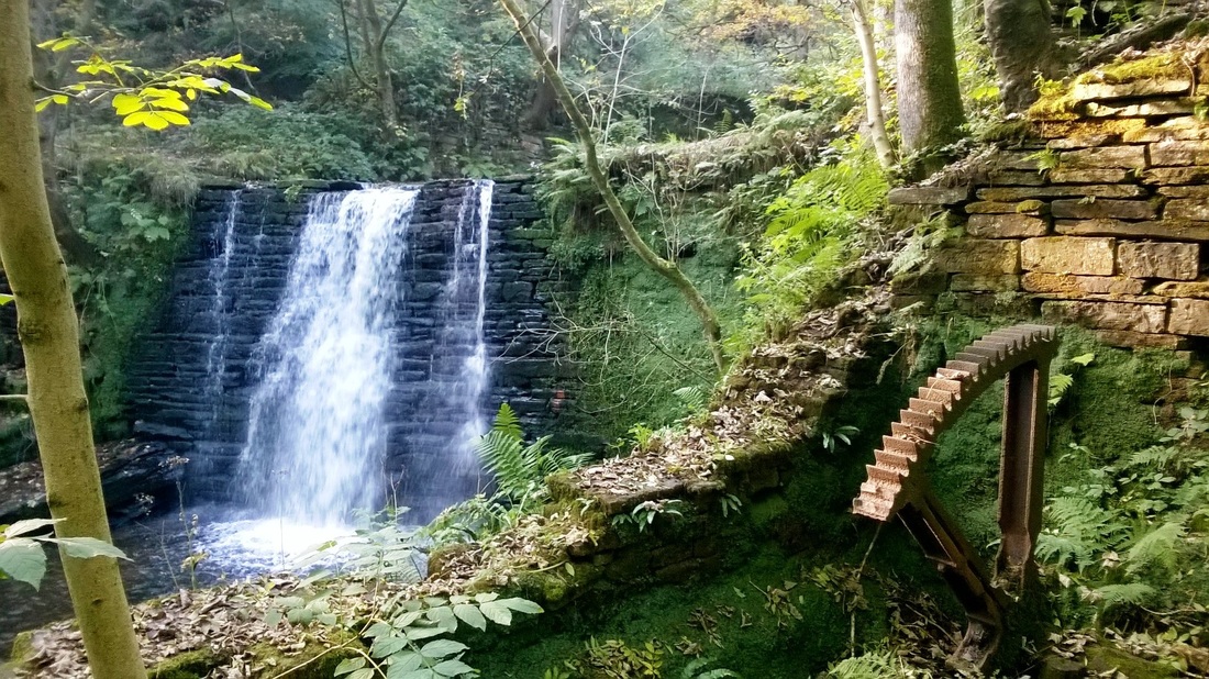
ASHWORTH MILL, NORDEN
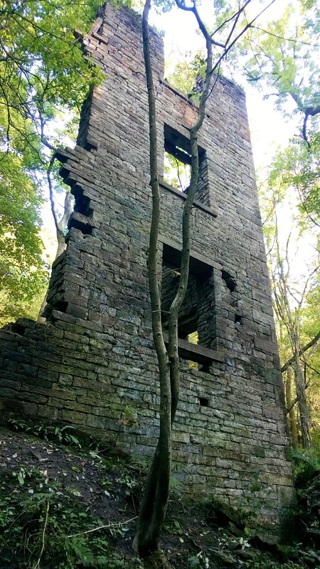
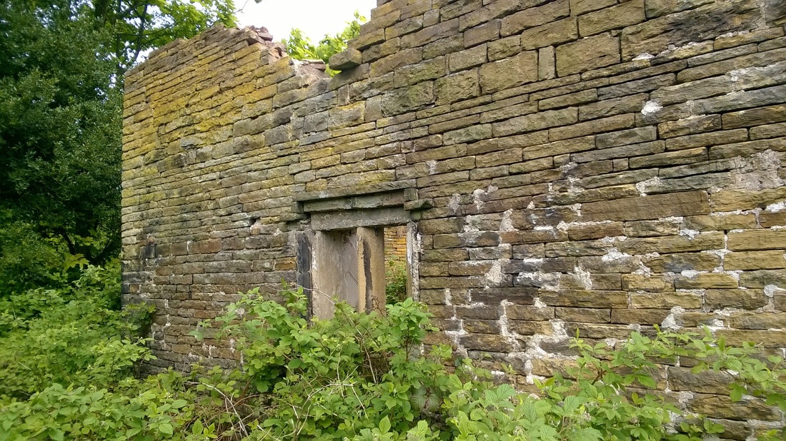
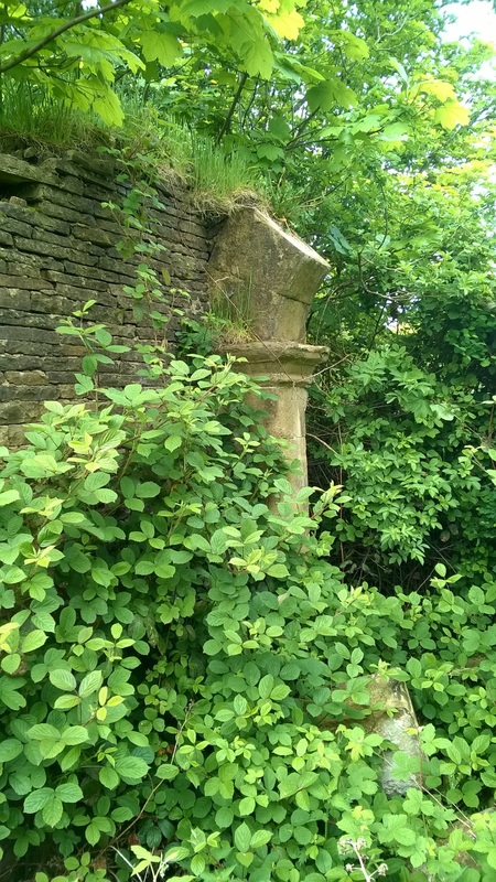
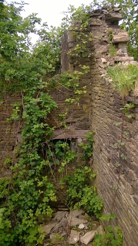
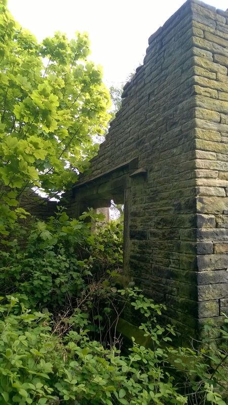
The ruins of Ashworth Mill photographed during our walk on 4 October 2015. I cannot find out much about this mill other than its name which appears on maps dating back to the mid/late 19th Century. We originally approached the mill from the West having took the wrong path which resulted in us being unable to cross the river. Quickly retracing our steps we were soon walking through the ruins. These were the only major walls still standing.
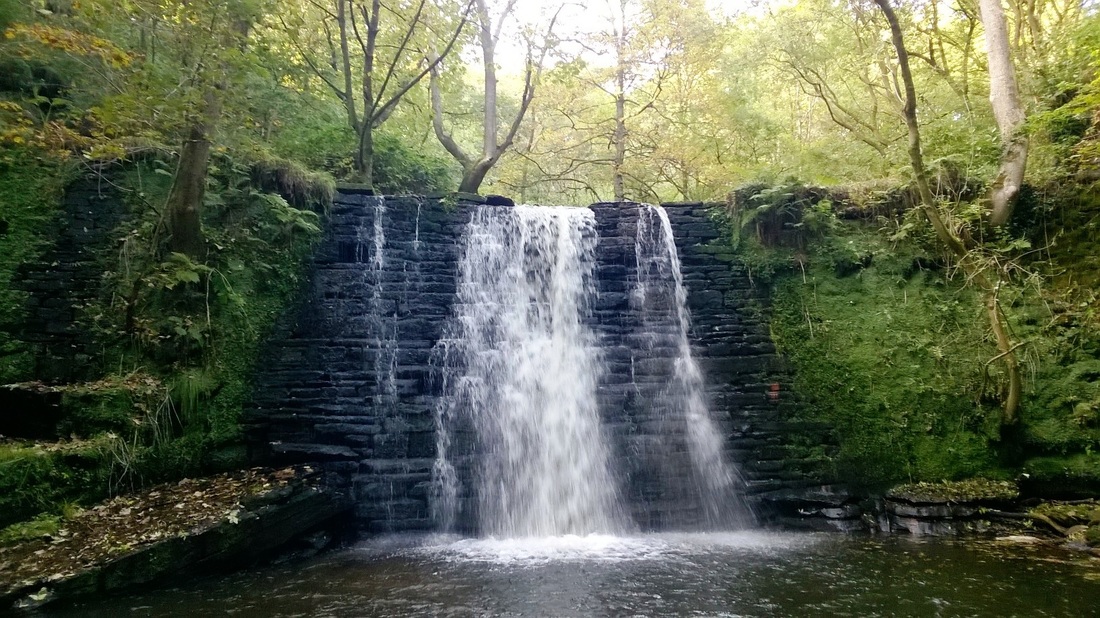
View of the waterfall and part of a mechanism that probably worked the waterwheel.
|
Looking up at the walls from the river, this was once a substantial building but like other mill sites I have seen is slowly being reclaimed by nature.
|
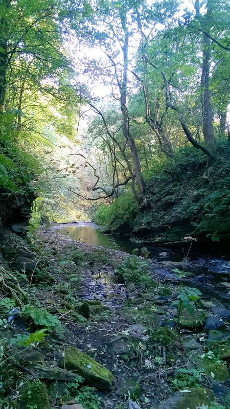
Naden Brook heads South after passing the mill, this would at one time have supplied the power for the mill. Stones from the mill and retaining walls along the banking littered the stream bed.
|
Man made waterfall next to the mill.
GOLDEN GATES, WARRINGTON - 1862
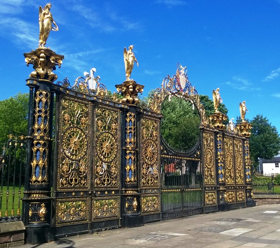
Warrington Town Hall's 'Golden Gates' photographed on 19 July 2015.
When the Council originally purchased the hall and gardens to use as the Town Hall they were surrounded by a high wall and could not be seen from the main road.
In 1893 Mr Frederick Monks, a member of the council and Director of the Monks Hall Foundry saw some magnificent gates on one of his many visits to Ironbridge.
These he offered as a gift to the council and after installation they were formally opened on 'Walking Day' 28 June 1895. The gates were originally exhibited by the Coalbrookdale Company at the International Exhibition in London in 1862 although there are a number of small differences from the gates I photographed to the ones that were exhibited.
Originally the centre archway of the gates was surmounted by large Prince of Wales feathers, a wreath and the motto 'ICH DIEN', and there were no movable gates under this archway. Today the Prince of Wales feathers, wreath and motto have been replaced by the arms used by the borough from 1847 to 1897.
The gates have an extreme width of 16.459m, and measure 7.620m to the top of the central arch.
Railings approximately 1.200m high were originally erected either side of the gates on a 610mm high stone base although today only a small section of railings and the stone plinth remain. The remainder together with a fountain being removed in 1942 to aid the war effort.
Mr Monks at this time also gave a smaller pair of gates to be placed at the corner of Crosfield Street and Sankey Street. These gates and railings as well as the movable gates which now fill the central arch were also made at the Coalbrookdale Foundry.
There are several stories told concerning the reason for the Prince of Wales feathers on the original gates and what happened to the gates between them being at the 1862 Exhibition and their erection at Warrington in 1895.
One story which is noted as being the most likely seems to be that although they were specifically produced for the 1862 Exhibition, they had been commissioned by one of the livery companies of London as a gift to Queen Victoria to be used at Sandringham, a property purchased in 1862 for the Prince of Wales (later Edward VII).
It was however the custom at the time, that prior to the acceptance of such a gift, the Queen should be able to inspect the object offered. The gates were therefore erected in Rotten Row, but unfortunately the statue of Oliver Cromwell (now sited at Bridgefoot) modelled by the same artist who designed the figures on the top of the gates, was placed behind them, and it is understood that this caused Her Majesty displeasure to the extent that she refused the gates.
They were then returned to Coalbrookdale where they lay from 1863 to 1893, when they were seen by Mr F Monks.
The records of the Coalbrookdale Company indicate that the gates, which are made of cast-iron, were designed by a Mr Kershaw in conjunction with a manager named Mr Crook, and that the four finials representing the goddess of victory, Nike, were the work of John Bell.
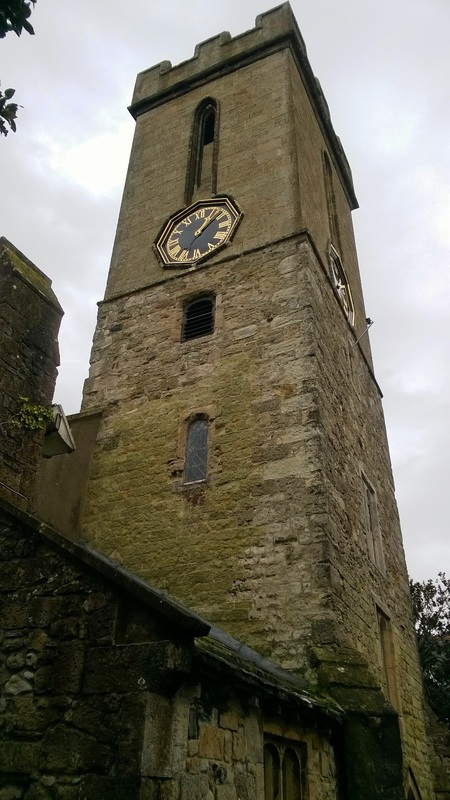
St.JAMES'S CHURCH - 1626 |
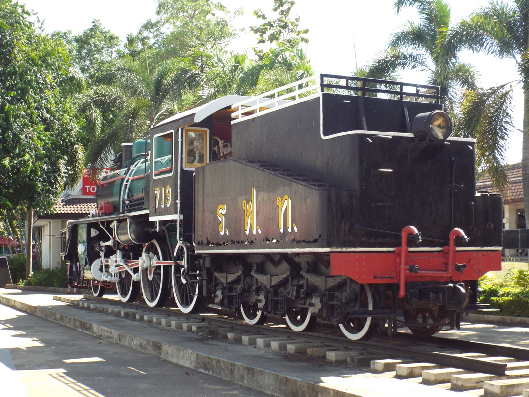
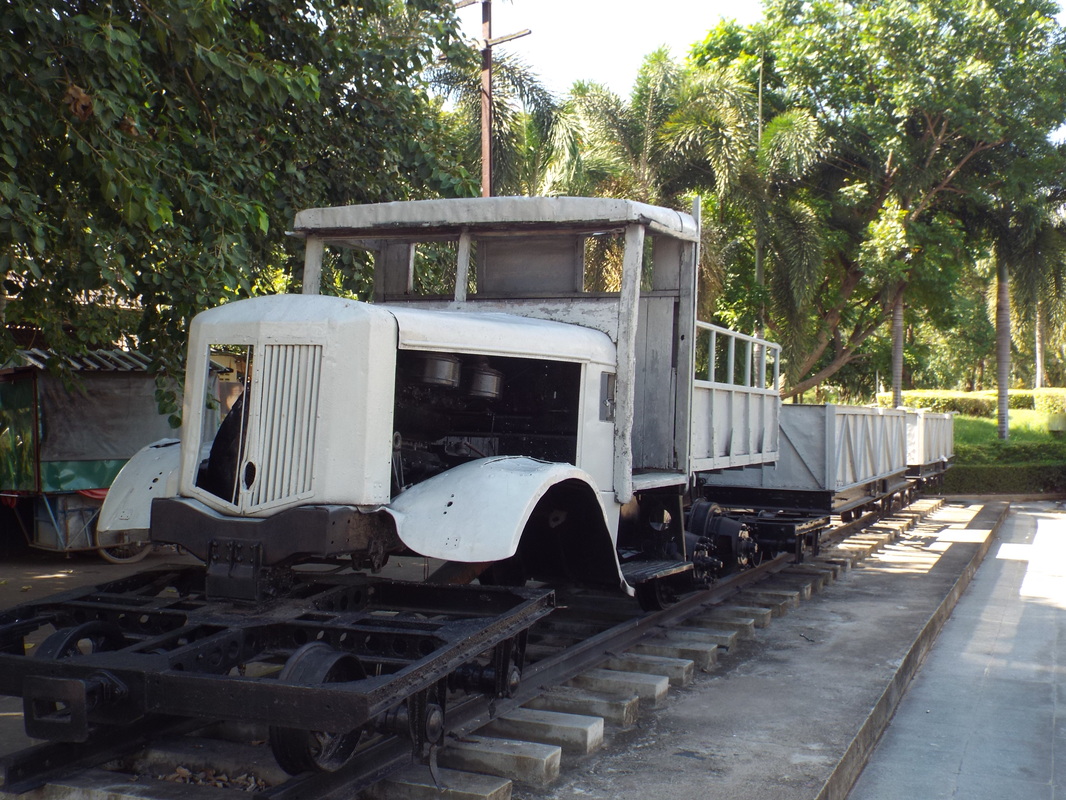
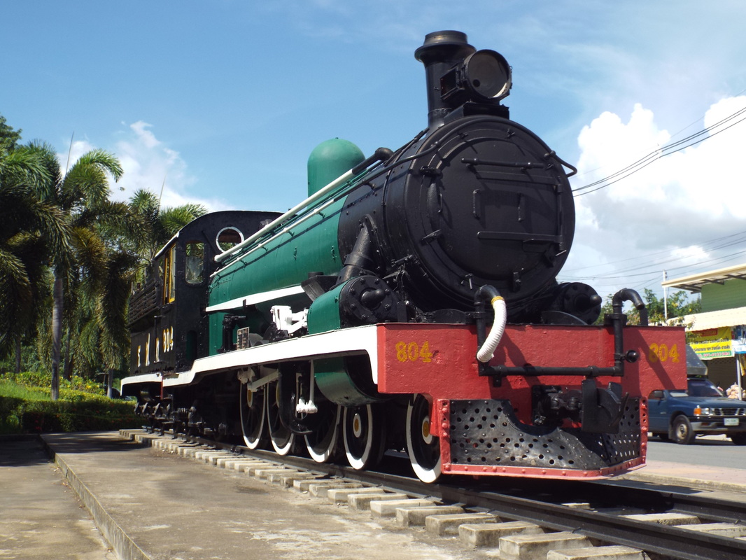
BACK FROM THAILAND |
|
St James Parish Church, Yarmouth photographed on our visit to this small town on the North East coast of the Isle of Wight on 30 October 2015.
The church is on the site of a much earlier medieval church that was destroyed during a French raid in 1377, it was rebuilt only to be again reduced to a ruin in 1543. The church was rebuilt between 1614 and 1626 with a chapel added in 1692. The tower was increased in height in 1831. |
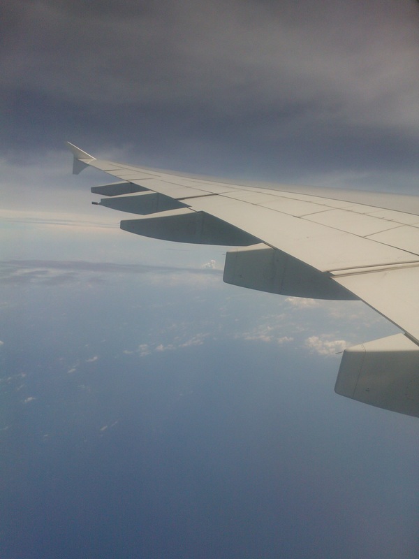
View from my window of the Qatar Airlines A330 I was on from Doha to Manchester.
The picture was taken just after dawn near Winzer, Bavaria. Total journey time home from leaving the hotel to opening my front door was 23 hrs ,18min and 46 seconds. I am currently spending a great deal of time updating my ship list. In total I saw well over 300 vessels during my trip although quite a few of these I had seen before resulting in some 259 in check. |
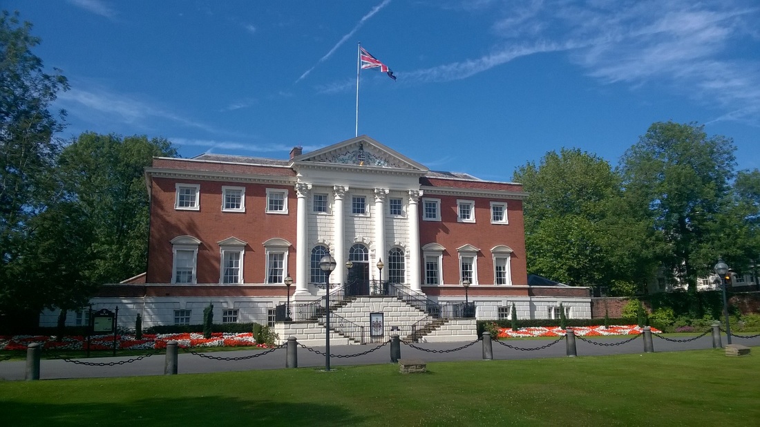
WARRINGTON TOWN HALL - 1750
The Warrington Town Hall building was completed in 1750. Originally named Bank Hall, it was designed by James Gibbs and was home to wealthy local businessman, Thomas Patten.
In 1873, the building was under the ownership of Colonel Wilson Patten, later Lord Winmarleigh, he sold the building to Warrington Borough Council and the building then became the new Town Hall.
Certain unique features about the hall are indicative of the trade which provided the wealth of its builder, for the whole house is built on a foundation made of moulded blocks of copper slag from the copper smelting works at Bank Quay.
The window frames of the hall appear to be made of wood but in fact they are made of a combination of copper and iron and painted white.
I took the photograph on a fine warm Sunday afternoon during a visit to the town.
Photograph taken 19 July 2015.
DOFFCOCKER LODGE - 1874
Doffcocker Lodge near Bolton photographed on 15 July 2015.
As part of a walk in the area we circled the lodge and stopped for a pint in a local pub before getting back to the car just after dark.
The lodge was originally constructed in 1874 to supply water to a local mill and is now a nature reserve.
The history of the name is not certain but it is believed to be Celtic meaning a dark winding stream. A stream which was originally dammed to form the lodge still flows into the lodge today.
COAL BANK MILL |
DISUSED RAILWAY - LANCASHIRE UNIOn LINE - 1869 |
|
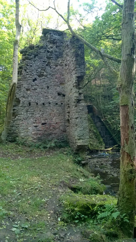
We were out walking on 4 October 2015 near Norden and in a quiet valley where a stream called Mill Croft enters the much larger Naden Brook came across the ruins of Coal Bank Mill.
The mill was originally built as a cotton mill and is described as a bleachers and dyers in the ownership of Richard Bell in 1891. The mill was one of many in the area and I have seen references to 11 mills in and around Norden in the 1850's. The mill is reported to have been destroyed by fire in 1916 although it seems to have been in use after this date, it's chimney was pulled down in 2006. The ruins above are probably the most substantial above ground but there was evidence of many other parts of the building or perhaps other buildings in the locality. |
I took this picture from a bridge over a dismantled railway line when we went walking on the outskirts of Wigan on 31 May 2015.
Originally it was part of the Lancashire Union Line and built in about 1869 to bypass Wigan and serve local collieries and iron works. The company was vested jointly between the LNWR and LYR from 1883 until the two parent companies merged in 1922, according to old maps this section which is South of Welley Junction was operated by the LNWR. I believe this section of the line was closed in 1976. |
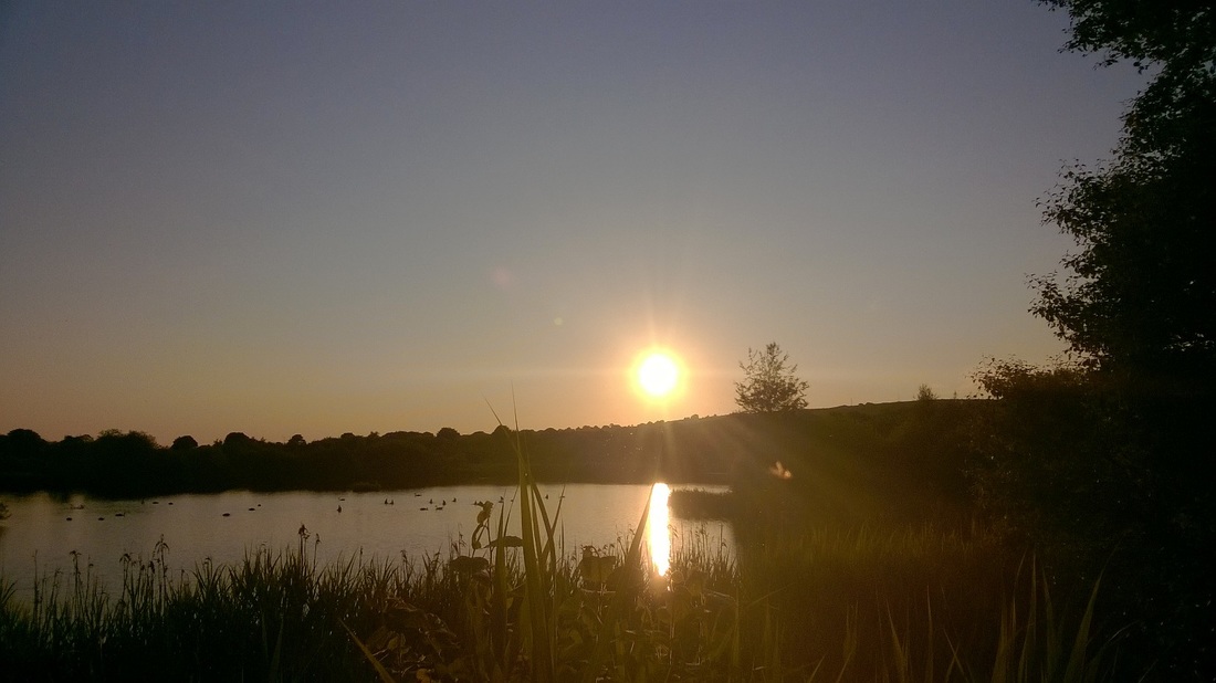
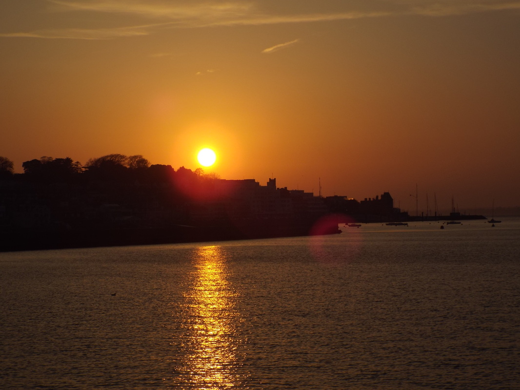
COWES SUNSET
Sunset over Cowes, I took this picture back in April 2015 whilst holidaying on the Isle of Wight.
The photograph was taken a very short walk from the caravan park where I was staying which is in East Cowes and overlooking the Solent.
On many evenings we walked down to the Solent crossed the river by the chain ferry and walked through Cowes and along the seafront until the streetlights stopped.
On a few occasions we continued walking into the dark before heading back to where we were staying with a well earned stop in a nice Cowes pub for a few beers.
GREENBOOTH & NADEN RESERVOIRS
Naden is located about three miles North of Rochdale, we visited this area on the 25 May 2015 and did an anti-clockwise circuit of the reservoirs. After parking on the main road we headed across some open ground and into woodland where we skirted around Doctors Dam a body of water below the main dam that used to supply water to the local bleachworks. We then headed uphill climbing the grassed bank of the dam before walking around all but the highest reservoir. Climbing the hill on the East side of the valley using a very steep, wet and little used path we headed back into the village along the top of the hills where we stopped for a pint and a packet of crisps before heading home.
The Naden reservoirs (Lower Naden, Middle Naden and Higher Naden) were completed in 1846 by the Heywood Waterworks Company in the valley above the village of Greenbooth despite objections from local mill owners who feared interruptions to their water supplies. In 1952 the then Heywood and Middleton Water Board decided that another reservoir was required to supply water to the growing population of nearby Rochdale and started construction of the Greenbooth reservoir in 1956. Construction resulted in the submerging of the village of Greenbooth under the waters of the reservoir which was officially opened in 1965, it cost £2.1m to build and holds 700 million gallons of water.
The village of Greenbooth was built by James Butterworth close to his weaving mill as accommodation for his workers and consisted of about 80 cottages, a cooperative store and a school but no pub or church resulting in a two mile walk on Sunday mornings for people attending Sunday church services.
The mill was built in the 1840's on or close to the site of a 18th Century corn mill and specialised in producing woollen flannel which was then distributed to clothing manufacturers across Northern England and beyond. There were two rows of terraced housing immediately next to the mill and larger houses for managers. Rents were deducted from wages and other deductions were made to pay for such items as milk deliveries. The village had a gas supply, but no electricity.
Ownership of the mill and village passed to Mr R.H Hutchinson who married James Butterworths daughter. Mrs Hutchinson apparently used to travel around the village in a horse drawn carriage making regular inspections of the school and each house in the village. Their two sons later managed the mill until it went bankrupt.
The mill closed in 1911 but the village continued to exist, the school closed in 1930 resulting in the children having to walk to nearby Norden.
At the time when the village had to be demolished it contained 46 cottages although 20 of these were derelict .
The Greenbooth dam is 117ft high and 1000ft long, it is built on a concrete foundation and has a central core of puddle clay, the North side of the dam is constructed from hard shale which enables the clay to stay damp and plyable whilst on the South side subsoil was used to create the sloping embankment to withstand the immense water pressures. Fissures in the exposed stone walls along the sides of the reservoir had to be sealed before the reservoir could be filled.
There was a problem with the dam in 1983 when it was reported that the dam appeared to be sinking, A round the clock watch was kept on the dam and 25 million gallons of water / day were drained. Repairs were undertaken and by 1986 the reservoir was back to full capacity
Lower Naden reservoirs dam was removed in the 1990's, the original line of the dam can still be seen today.
Ruined farm on a hill above the reservoir.
Looking South - You can see where the Lower Naden dam used to be .
More ruins - Industrial this time from a mill which at one time made use of a stream running through a narrow valley.
IRLAM VIADUCT - 1893
Irlam viaduct photographed early evening from Irlam Locks on 11 June 2015.
This bridge carries the main Liverpool-Manchester Railway line over the Manchester Ship Canal, the bridge was built by the Cheshire Lines Committee Railway (CLC) and opened to freight traffic in January 1893 and to passenger traffic in March 1893.
The centre span is 37m long and 23m above the water and the original steelwork for the viaduct was manufactured in Glasgow by Sir William Arrol and Co, the centre of the bridge having 550 tons of steel in its main span.
The approach to the main span of the bridge on each side was originally by brick arches but by June 1893 the main structural piers had started to move and cracks had started to appear. In October 1893 the piers were propped and the decision was made to replace the arches with the horizontal steelwork you can see either side of the main span today, the work was undertaken whilst keeping the bridge open and completed in May 1895.
DISUSED RAILWAY, LONGDENDALE - 1845
We went walking on 7 June 2015 down the Longdendale valley which is East of Manchester.
The name means 'long wooded valley' and now contains a chain of six reservoirs.
Part of our walk was along a disused railway line which was opened in 1845. It was originally built by the Sheffield, Ashton-Under-Lyne & Manchester Railway (SA&MR).
In 1847 the company merged with the Sheffield & Lincolnshire Junction Railway, the Great Grimsby & Sheffield Junction Railway and the Grimsby Docks Company to form the Manchester, Sheffield & Lincolnshire Railway.
In 1897 the Company again changed its name to the Great Central Railway (GCR) before ownership passed to the London & North Eastern Railway (LNER) in 1923 and finally to British Railways in 1948.
The line closed in 1981.
A small stone bridge takes the line over what must have been a farm track, we walked here up the hill across fields full of lambs from the reservoir you can see in the distance before heading East down the main line. After a few miles we left the line of the old railway and headed back down the hill and circled the reservoirs ant-clockwise on our way back to the car.
|
A road bridge crosses the old line
|
Heading along the side of the valley into the hills.
|
BELLE VUE FARM - 1683
The ruins of Belle Vue farm photographed on 24 May 2015.
We found these buildings whilst out walking near Dalton in Lancashire, the site is located off Crow Lane and to get to the site we followed what is now a narrow public footpath but was once a gently curving farm track leading directly into the farmyard. The site is split in two by this track which used to continue through the yard and on for some time before joining the main road to the South. On the East side of the yard were a number of farm outbuildings including a stone barn whilst on the West side was the farmhouse itself.
Up to 1849 the place was called Scott's Fold but by 1893 this has changed to Belle Vue farm the name it is currently known by.
The Farmhouse was built in 1683 and originally had a stone tablet over the porch inscribed:-
S
IM
FS
1683
The building was North facing and originally two storeys high, it is built from local coursed sandstone rubble and originally had a stone slate roof, the main entrance used to have a porch with an arched doorway part of which can still be seen. I particularly liked the windows which are made from stone and have chamfered mullions with hoods, it was the windows that first led to me to believe that this was quite an old building.
The barn also used to have a date stone this being:-
ISM
1680
Now heavily overgrown with weeds, nettles and brambles the building is listed and slowly disintegrating. In 1987 the building was surveyed and at that time seemed largely intact although the roof had collapsed in places, it seems a number of attempts have been made at restoration and some stone cleaning and stacking of fallen materials was evident near the barn.
|
One of the farms outbuildings which would have been on the east side of the yard. Typical small arrow slit type windows which I have seen before in agricultural type buildings, nice timber lintel over the door. I believe this building dates to 1680.
|
More stonework from buildings beyond the barn stick out of the undergrowth.
|
The West elevation of the farmhouse showing the old stone window.
|
The main entrance looking North from within the building, the archway can be seen, other pieces of stone from the archway could be seen on the floor amongst other fallen debris.
|
North East corner of the farmhouse, the floor looks like it had collapsed here into a cellar.
|
Stone window to the North elevation, unlike the window to the West elevation this was missing its mullion. As this was to the right of the main entrance porch it seems to have received a better quality stone window and hood when compared to the West side. As they are only a few feet apart and quite easily seen together this is a bit strange although it is not unusual for the main elevations of buildings to receive a better treatment. The West elevation window looks older to me, perhaps the North one was replaced at some time in the past, possibly as part of some other building work or the addition of the porch.
MANCHESTER, BURY & BOLTON CANAL - 1808
|
Photograph of the Manchester, Bury & Bolton Canal taken near Elton Reservoir on 16 May 2015.
Work started on the canal in 1791 and it opened in 1808. Its course runs North from Salford to near the village of Little lever where it splits into two branches, the main branch continues to Bury whilst the other heads North-West to Bolton. The cost of building the canal was £127,800 (approximately £8.6m today). Originally it was designed to be a narrow canal but this changed in 1794 to a broad canal when a link to the Leeds and Liverpool Canal was envisaged, this link however never materialised but did result in the locks that had already been built at this point having to be changed. The canal was however linked with the Rochdale Canal via a short Tunnel in 1839. The canal is 15 miles long and had 17 locks, as much of the canal ran along the side of the Irwell valley it was prone to landslips and breaches, the most serious breach occurred in 1936 when a high embankment above the River Irwell collapsed sweeping two barges into the river 100 feet below. Most of the freight carried was coal from local collieries but as the mines reached the end of their working lives sections of the canal fell into disuse and disrepair before it was abandoned and closed in 1961. |
Stone Lion - HAIGH HALL
Stone lion photographed at Haigh Hall Country Park near Wigan on 10 May 2015.
LION BRIDGE - 1724
Another lion, this one was once one of six stone lions from a bridge on the estate of Atherton Hall in nearby Leigh.
The bridge was built in 1724 and was known locally as Lions Bridge due to the carved stone lions which sat on pedestals along its length, two lions were located at each end with two in the middle.
It had three arches and spanned a crescent shaped lake which was approximately three quarters of a mile long, the lake dried up in the 19th Century and the bridge was demolished in 1905.
The lion has been severely damaged and is missing its head. Interestingly it appears that the lions were made in two sections as some ironwork is visible on the upper body of this one where the head would have been connected to the body.
Some nice pieces of stone which were originally part of the bridge located close to the lion. I took these photographs on 14 May 2015.
TYLDESLEY TOP CHAPEL - 1789
Tyldesley Top Chapel photographed on 26 December 2014.
The chapel was built in 1789 on a site at the top of Tyldesley Banks opposite the Square. The site was provided by Thomas Johnson who was a local landowner, merchant, entrepreneur and mill owner who acquired what was known as the Banks Estate in 1742.
It was properly known as "The Lady Huntingdon Chapel" but became known as Top Chapel because of its position at the top of Astley Street. Its first minister was J. Johnson who was ordained at Spa Fields London by the Countess of Huntingdon Connexion.
The chapel is constructed of brickwork in Flemish bond and its gabled facade is topped by a later 19th Century bellcote with a single bell.
In 1947 the part of the graveyard to the East was removed to enable the widening of the road.
This building was the test bed for a revolutionary heating system. John Grundy Senior was born locally in 1807, he was a grocer and flour trader and a warden of the Top Chapel. Due to the cold both in the chapel and within his own premesis he developed and installed a revolutionary warm-air heating stove with an arrangement of plenum and discharge ducts.
This was so successful that in 1859 he set up in business to manufacture and market his heating apparatus, which he later patented. The business flourished and he continued to make improvements, increasing its efficiency and effectiveness and securing more patents. When he died in 1879 his son John Grundy Junior, (born in 1844) took over and expanded the business. In the 1880s, he moved to live in Islington and opened three London offices. The firm became so successful that he set up his own iron foundry in Tyldesley.
The Grundy stove became well known in the industry and in 1897 (the year of the founding of The Institution of Heating & Ventilating Engineers) he could claim to have heated some 3000 places of worship, including many famous cathedrals as well as mansions, houses, hotels, hospitals, schools, warehouses, factories and workhouses. The firm advertised ‘Winter, warmth and comfort — pure warm air’. John Grundy was one of the entrepreneurs who established the IHVE and in 1898 he was elected the first president. He died in 1913. His son Herbert Hamilton Grundy took over the business and served as IHVE President in 1915. Herbert died in 1932 but the stoves were so well-liked that manufacture continued into the 1970s.
HMS ORLANDO MEMORIAL - 1902
Photograph taken of a naval memorial during my visit to Portsmouth on 6 April 2015. We got the early morning Fastcat from Ryde on the Isle Of Wight over to Portsmouth where we spent the day before returning late afternoon.
The bell itself is a reproduction, the original was removed from the captured North West Fort, Taku on 17 June 1900 but was during the Second World War removed for safekeeping to protect it from damage by bombing, it was not found again until the 1960's when it was replaced. The bell however suffered from vandalism and was removed again, it is reported that the original bell was returned to its original home in China in the 1990's.
The battle of Taku or Dagu Forts was during the Boxer Rebellion between the Chinese Military and Allied Western and Japanese naval forces, the allies captured the forts but only after a brief but bloody battle. The memorial has a bell and four plaques commemorating the men lost from the ship during this engagement.
HMS Orlando took an active part under Captain J.H. Burke in suppressing the Chinese outbreak. The ship was the first to arrive on the scene and it was her Naval Brigade which originally undertook the defence of Tientsin. At the beginning of the operations the Orlando had a complement of 486 officers and men of whom 31 were sent to Peking, 112 to Tientsin, 104 accompanied Sir Edward Seymour, 99 took part in the capture of the Taku Forts, and 16 were on other duties leaving 124 on board. With all these men absent, the Orlando steamed 900 miles and brought the Chinese Regiment from Wei-Hai-Afei. Captain Burke died on the passage home, her casualties were 5 killed and 26 wounded."
HMS Orlando an Orlando Class Armoured Cruiser built by Palmers Shipbuilding & Iron Company in Jarrow, she was laid down on 23 April 1885 and launched on 3 August 1886. She was sold for breaking up on 11 July 1905.
With a displacement of 5600t she was 91m long with a 17m beam and 6.9m draught.
She had a 3-cylinder triple-extension steam engines with two shafts and 4 double-ended boilers giving a top speed of approximately 18 knots and a range of 10,000nm at 10 knots.
Crew complement was 486.
Armament consisted of 2 x 9.2inch guns, 10 x 6 inch guns, 6 x 6 pounders, 10 3 pounders and 6 No. 18 inch torpedo tubes four of which were above the water firing broadside the other two being submerged forward and aft.
HMS NELSON, GATES - 1902
A photograph taken on 7 April 2015 of the gate to HMS Nelson in Portsmouth.
This was formally the entrance to the first naval barracks in Portsmouth which was called HMS Victory.
The gate is dated 1902 and uses parts of the old Portsea Quay gate which was built in 1734.
The central part of the arch has the Admiralty crest and the gates have the royal cipher and crest together with the date.
OLD MILL BROOK - TYLDESLEY
Old Mill Brook photographed on 22 March 2015.
This small stream meanders through fields in a roughly North-East - South-West direction for about a mile before emptying into Shackerley Brook.
In the 19th Century these fields were largely covered in collieries and mine workings but the area has since been reclaimed by farmland.
At the point where I crossed the stream and took the photograph the stream hits a wall of sandstone about a metre high and is turned sharply East, a few sandstone boulders had also been washed out of the embankment and exposed.
Just South of here the Roman Road from Manchester to Wigan would have crossed this stream, although nothing now remains of the road apparently up to the 17th Century the line of the road could be traced. Whether the road crossed the stream by a bridge or road is also unknown, bearing in mind the road was a military highway connecting the forts of Manchester and Wigan and ran through potentially hostile countryside (at first anyway) which would have been heavily wooded with oak and other native species I suspect a simple stone bridge would have been constructed.
POMONA DOCKS - 1894
Pomona Docks photographed from the Metrolink tram on a grey overcast 11 February 2015, these docks formed a key part of the Port of Manchester from 1894 until it closed in 1982. The docks were a destination for both coastal and ocean-bound ships and were built on the site of the former Pomona Gardens and Zoo, due to their size many larger vessels had to use the main docks on the other side of Trafford Road bridge located just to the South of where I took the photograph.
Plans were originally drawn up for five docks in this area although only four were ever completed, the site of the proposed No. 5 dock was to the left of the photograph opposite the dock entrances, work on this dock was largely completed, with the dock being excavated and the retaining walls built before work was abandoned and the dock filled in again.
No. 1 dock became the regular discharging point for the Coopers sand boats, another of the early users of the docks was Fisher Renwick who launched a regular service to London in 1892. Another visitor from the early 1950's until the 1970's were the Guinness ships carrying Guinness in barrels and steel containers ready for bottling, these ships were frequent visitors returning empty to Dublin, this operation ceased when Guinness moved their operations to Runcorn.
During the 1960's in attempt to increase trade a heavy-lift berth was set up in No. 3 dock, together with Ro-Ro facilities for ships designed for transporting heavy loads.
A connection to the Bridgewater canal was built at Hulme Lock, up-river from the docks and this was extremely busy for many years with a great deal of cargo being discharged from the bigger vessels into barges for onward transmission via smaller canals.
It is hard to believe that this was once a hive of activity with ships of all shapes and sizes being loaded and unloaded, today no buildings, cranes or anything else for that matter survives.
FISH NEAR LANGKAWI - APRIL 2011
This photograph was taken in April 2011 from a very narrow sandy beach on a small island located about an hour South of Langkawi in Malaysia, we reached the island by a very quick dive boat which was probably travelling at 20 to 30 knots.
The isIand looked largely inaccessible being shear cliffs on all sides topped by trees and vegetation.
I spent the whole day snorkelling here in both the shallow and much deeper crystal clear water.
The young sharks proved friendly although I did see some much larger examples further away from the beach in much deeper water which did make me catch my breath.
A tropical island, very warm water, a multitude of fish - This was a great place to go.
LEEDS & LIVERPOOL CANAL, LEIGH BRANCH - 1820
On the 24 January 2015 and again on the 1 February 2015 we went for a walk along the Leigh branch of the Leeds and Liverpool Canal.
The Leigh Branch was first proposed in 1800 after the completion of the extension of the Bridgewater Canal from Worsley to Leigh, the link would connect the canal to Manchester and the rest of the canal network. The first Act failed in 1803 and it wasn't until after the main line of the Leeds and Liverpool Canal was completed that a successful bill was presented to Parliament that was agreeable to all parties. The branch opened in December 1820 and cost £61,419.
The Leigh Branch was first proposed in 1800 after the completion of the extension of the Bridgewater Canal from Worsley to Leigh, the link would connect the canal to Manchester and the rest of the canal network. The first Act failed in 1803 and it wasn't until after the main line of the Leeds and Liverpool Canal was completed that a successful bill was presented to Parliament that was agreeable to all parties. The branch opened in December 1820 and cost £61,419.
|
Bridge abutment from what I believe was the Wigan Junction Branch of the Manchester, Sheffield and Lincolnshire Railway. This is located on the North side of the Canal, any remains of the bridge on the South side have disappeared although in the distance you can see an embankment where the tracks used to run.
|
This is the site of the former Dover Lock number 1. The lock is now abandoned and replaced by locks closer to Wigan.
|
A view of the canal and footpath on what was a bright, dry but cold day.
MILL STONEWORK, BOLTON - 1880
Stone carvings depicting stages in the production of cotton.
These were originally in Tootal Broadhurst and Lee's Sunnyside Mills in Bolton but now are built into the wall of the shopping centre in the town centre. There were a few other pieces I could not photograph and other pieces of stonework partially sticking out of the ground or hidden by vegetation.
They were sculpted in the late 1880's by J & T.Bonehill & Co.
Joseph Bonehill was a stonemason and in 1861 he was working in Manchester and had premesis in the city centre near Cross Street. By 1871 the firm had become J &T Bonehill sculptors in marble, wood, chimneypieces, headstones, screens, pulpits and tombs. In 1889 the companies name had changed to W. Bonehill and by 1900 a William George Bonehill was still working as a mason located in Moss Side, Manchester.
Tootal Broadhurst & Lee were cotton manufacturers, later textile spinners and manufacturers. The company was founded in Manchester in 1799 by Robert Gardner, a textile merchant. In 1842 Tootal family involvement began and in the 1860's Sunnyside Mills, Bolton and Newton Heath Mills in Manchester, were acquired.
In 1888 after several name changes, the firm became Tootal Broadhurst Lee Co.Ltd.
In 1918 a research department was established, which carried out early work on creating crease resistant fabric. The company was notable for its early use of brand names and was a leader in the field of selling direct to retailers. By 1939 the firm had spinning, weaving and yarn dyeing factories in Bolton and factories in Newton Heath, Manchester, weaving silk and wool and producing handkerchiefs and ties. There were branches in Belfast, Birmingham, Leeds, London and Glasgow and overseas in Argentina, Australia, Canada, France, and New Zealand. Subsidiaries’ activities included dress manufacture, bleaching, dyeing and crease resistant finishing.
In 1947 they exhibited at the British Industries Fair in Earls Court as manufacturers of Tobralco, Lystav, Robia and other Tootal Dress and Furnishing Fabrics including Pyramid Handkerchiefs and Tootal Ties.
In 1973 the company became Tootal Ltd and was eventually acquired by Coats Viyella in 1991.
Photographed on 28 December 2014.
ST.ANNE'S CHURCH, HINDSFORD -1901
St Anne's Church in Hindsford photographed on 26 December 2014
The foundation stone of the church dedicated to St Anne was laid by Mrs Mary Lee of Alder House (whose husband Thomas laid the foundation stone for nearby St John the Baptist Church in Atherton).
The church designed by Lancaster Architects Austin & Paley and was completed in 1901 at a cost of £9,000. It provided seating for 450 people and was built on land given by Lord Lilford.
The building is constructed in sandstone with a slate roof in a gothic revival style, it consists of a four bay nave, North and South aisle, a South trancept, two bay chancel and vestry.
The building was refurbished in 2004 and turned into apartments.
SACRED HEART CHURCH - TYLDESLEY - 1869 |
ST.PeTER's CHURCH - BOLTON - 1871 |
|
Sacred Heart Catholic church photographed on 26 December 2014.
The church was designed by Architect Edmund Kirby of Birkenhead and built on land donated by Lord Lilford. Materials were donated by John Holland who was a local colliery manager. The parish was established in the nineteenth century in response to a growing local community of Irish immigrant families. The church was consecrated in 1869 and the foundation stone laid in 1875. It is constructed from squared rubble sandstone laid in shallow courses with ashlar red sandstone dressings and decorative banding, coped gables with cross finials and a slated roof laid in bands of blue and grey fish-scale slates. The Sanctuary has three large stained glass windows by Meyer dating to 1881 with a further small window high on the south side, the roof is arched with exposed rafters and a scalloped central truss. Originally a school built in 1888 was located to the South of the church but this has since been demolished. The church closed in about 2004. |
The Church of St Peter, Bolton-le-Moors which is located on the edge of Bolton town centre photographed catching the late afternoon sun on 31 January 2015.
A number of churches have stood here dating back to Saxon times and the present church occupies the same commanding position as its predecessors. A late Saxon cross was found on site in 1866 and fragments of stone are all that remain above ground of the earliest buildings on the site. This building is a fine example of Victorian Gothic style architecture and was built as a replacement for its 15th Century predecessor which had fallen into disrepair. It was consecrated and reopened by Bishop James Fraser on St Peter’s Day, 29 June 1871. The cost (£45,000) was met by Peter Ormrod (1795-1875), a wealthy cotton manufacturer and banker. The building was designed by the Lancaster architect, E J Paley of Paley & Austin and is built of Longridge stone. The Church is 156ft from East to West, 67ft from North to South and 82ft high. The tower is 180ft high and commands extensive views over the surrounding moor lands from which the old title of Bolton-le-Moors originates. The tower contains a peal of 13 bells installed in 1974 and is also home to the original 1699 tenor bell. |
HURST CASTLE
Hurst castle on the UK mainland photographed 31 October 2014 from a view point on the Isle of Wight.
The sailing ship in the foreground is Challenger 3 which is operated by the tall ships youth trust.
After spending a few hours at Fort Victoria we walked through woodland and found this view point where I could see the castle across the Needles Passage.
Hurst Castle was built between 1541 and 1544 by Henry VIII as part of a chain of artillery fortresses protecting key ports and landing places around southern England. The castle guarded the Needles Passage leading to the Solent, the port of Southampton and the growing naval base at Portsmouth. It was extensively modernised in the 19th century and remained in military use until 1956.
The long shingle spit on which the castle was built leaves a channel between the Isle of Wight and the mainland only 1280m wide at this point. In 1539 fear of invasion from the united Catholic powers of Europe led the king to mastermind a series of defensive measures, although by 1540 the fear of invasion had generally subsided building work began on Hurst Castle in 1541. After it was completed in 1544 the castle was armed with about 20 guns of varying calibres.
During the Civil War (1642–51) the castle was held for Parliament. It was never attacked but Charles I was imprisoned in the keep from 1 to 19 December 1648 after the Parliamentary army ordered his arrest and transfer from Carisbrooke Castle on the Isle of Wight. On 19 December 1648 he was taken from Hurst Castle on the journey leading to his execution in London six weeks later.
In 1700 Hurst was again selected as a secure prison, this time to hold anyone convicted for spreading the Roman Catholic faith. Only one prisoner was sent here, Father Paul Atkinson. Despite several pleas for clemency he remained in the castle for 30 years until his death at the age of 74.
The outbreak of war with Revolutionary France in 1793 saw a rapid strengthening of Britain’s coastal fortresses and after hasty repairs to Hurst in 1794 18 captured French 9-pounder weapons were installed and two five-gun batteries equipped with French 36 Pounders were also built on the beach on either side of the Tudor fortress.
In 1803 the threat of invasion by Napoleon led to additional work on the coastal defences. At Hurst the centre of the Tudor castle was transformed with the installation of six powerful 24-pounder guns on the roof and a basement gunpowder store. The Tudor bastions were also improved so that they could safely support 8 Pounder French guns.
In February 1809 all spare space here was turned into a temporary military hospital for survivors of Sir John Moore’s army. After their 250-mile fighting retreat through northern Spain to the port of Corunna these sick and wounded men were rescued by the Royal Navy and brought safely back to Hurst
The moat was deepened in 1851 and its immediate defences strengthened. Between 1852 and 1854 the bastions and curtain walls were extensively modified so that a second tier of guns could be mounted. Outside the castle two large earthwork batteries were built for 29 heavy weapons.
These works were hardly finished before technological revolutions in weapon systems and the introduction of steam-powered warships made such fortifications obsolete. In 1859 a Royal Commission was created to consider the defence of the United Kingdom, as part of this programme work to strengthen Hurst Castle began in 1861. The earthwork batteries were replaced by huge armoured wing batteries. Largely completed by 1874 these housed 31 new guns which fired shells weighing more than 360kg, Accommodation was also provided for a garrison of 143 officers and men.
In 1893 a battery for three of the new 6-pounder QF guns was built outside the end of the East wing. A little later three 12-pounder QF guns were added to the keep and the West wing together with searchlights.
Variants of these weapons together with AA Guns provided the castle’s armament during World War 2 where again the castle played a key role in protecting the western entrance to the Solent. In 1956 Hurst Castle came into the care of the Ministry of Works, predecessor of English Heritage.
The lighthouse to the left of the picture has been operational since 1867.
ALL SAINTS CHURCH, RIPLEY - 1821
All Saints Church located on Church Street Ripley photographed on 30 December 2014. I took the picture as I was walking to the pub with my father-in-law on what was a very cold and icy day.
The church was built in 1821 and is constructed from gritstone with ashlar dressings and a slate roof.
The tower houses a complement of eight bells and was completed in 1902 to commemorate the coronation of King Edward VII.
Following damage during a severe storm in 1969 the stained glass window in the chancel was replaced.
As I have been walking a lot more recently I have found myself taking more photographs of buildings and in particular churches, I will be adding a few others to my site in due course, particularly ones relatively close to where I live.
WAPPING DOCK & WAREHOUSE - 1852 & 1856
Wapping Dock with the warehouse behind photographed on my visit to Liverpool on 18 November 2014.
Wapping Dock was opened in 1852 to principally connect Salthouse Dock and other Docks to the North with Kings Dock to the South. Both the warehouse and dock were undertaken by the Dock Engineer Jesse Hartley with the dock being progressed in his Cyclopean style and named after the road that runs alongside.
The warehouse was built in 1856 and is similar to those around the Albert Dock. it is constructed in brick, iron and slate with small paned iron casement windows.
The building was originally 232 feet long and had forty bays divided into fire proof sections but was badly damaged during the May blitz of 1941 resulting in the Southern end of the building not being rebuilt. The columns that originally supported the demolished end of the building can be seen in my picture.
The building was converted to residential apartments in 1988.
AMSTERDAM ROYAL PALACE - 1655
On the 9 December 2014 we went to Amsterdam for the day, its only a 55 minute flight from where I live in the UK, the train station is also under the airport and you can be at Amsterdam Central Station in about 15 mins. The railway also run alongside the docks and I saw the bulk carrier NBA Rubens as we passed.
Whilst in Dam Square which is in the centre of the city I took the above photograph of the Royal Palace
Built as City of Amsterdam's Town Hall work was started in 1648 and it was opened in July 1655 by Cornelis de Graeff the Mayor of Amsterdam.
The building was constructed on 13,659 timber piles and clad in a yellow sandstone from Bentheim in Germany.
It served as the Town Hall until 1808 when Louis Napoleon, brother of the Napoleon Bonaparte declared it as his personal residence during his reign as the King of The Netherlands.
In 1813 Prince William of Orange, later King William I, returned the palace to the City of Amsterdam, but maintained the right to use it as a royal residence and hosting space when in the capital.
FREDDIE ATTRILL MEMORIAL
I noticed this plaque built into the perimeter wall of the old Victoria Barracks in East Cowes
This plaque was erected in 2009 in memory of Freddie Attrill.
One day in 1852, young Freddie Attrill was gathering shell-fish on Osborne beach when another boy came along, told him to clear off and kicked his bucket flying. Indignant, Freddie gave him a thump - only to be told by shocked attendants that he has just hit Albert Edward, Queen Victoria's eldest son and heir to the throne. The Prince hurried home to Osborne House, and soon a nervous Fred was summoned there to answer Queen Victoria in person.
The Queen said, however, that her son's behaviour had been quite wrong. She praised Freddie for standing up for his rights and, some say, gave him several guineas in recognition.
Years later, Mr Attrill commemorated the incident by decorating his house in East Cowes with sea shells. Until the 1970s both house and garden were quite a tourist attraction.
Freddie the son of James and Elizabeth Attrill was born in Arreton on the Isle Of Wight in 1839. In 1851 he was living in East Cowes on Church Road where he recorded as being a Scholar. In 1861 he is noted as working as a Seaman and between 1871 and 1901 a General Labourer. By 1911 he is noted as being a jobbing gardener. Freddie died in 1926 aged 88.
Photographed 30 October 2014.
KIN-SAIYOKU STATION (1943 -1948)
|
We visited the site of Kin-Saiyoku Station on the 19 August 2014.
This was one of the largest stations built by the Japanese Army using POW and civilian labour on the death railway. As the majority of the line is single track this station together with 55 others along the line provided vital passing points, yards and sidings. |
|
Some of the sidings were used to hide trains from allied air raids, from late 1944 and during 1945 trains were only run at night in an attempt to protect them from allied aircraft.
This station was an important target and was bombed on a number of occasions by the RAF and USAF, a number of bomb craters still exist. ick here to edit. |
HELLFIRE PASS
We visited Hellfire Pass and the memorial museum on the 19 August 2014.
Although known as Konyu cutting by the Japanese Army, Hellfire Pass was built by POW and Civilian labour during WWII. The pass is located a remote part of the the Tenasserim Hills and was a particularly difficult section of line to build.
The pass was cut from the rock with very limited mechanical tools and with heavy loss of life ,using only picks and shovels, hammers and sticks of gelignite almost the entire pass was drilled, blasted and cleared by hand..
It was known as Hellfire Pass because of the continual hammering noise and the flickering light from smoky fires, oil fired bamboo torches and carbide lamps which created a scheme that looked like a living image of hell.
Work on the cutting started in April 1943, groups of men worked around the clock on 16-18 hour shifts to complete excavation of the 17m deep and 110m long cutting through solid limestone and quartz rock in only 12 weeks.
The museum was opened on 24 April 1998.
|
The Kwae Noi Valley photographed from the museums viewing platform, after visiting the museum we made our way down the hill to the line of the track
Entrance to Hellfire Pass
|
Heading down the route of the railway towards Hellfire Pass, our guide told us that the Australian Army had cleared and stoned up the path.
View from the track looking down into the valley, I imagine that this was the type of country cleared by the POW's.
|
Walking through Hellfire Pass.
Memorial plaque at the end of the Hellfire Pass.
BRIDGE ON THE RIVER KWAI
We visited the bridge over the River Kwai on a very hot 18 August 2014.
When constructed the bridge actually spanned the Mae Klong river, the name of the river was changed in the 1960's to match the book written by Pierre Boulle which was subsequently turned into the famous film - It seems Pierre got it wrong, the fact he never apparently visited the real bridge probably didn't help!
The bridge was constructed by allied prisoners of war and civilians at a place called Tha Ma Kham which is about 5km from Kanchanaburi.
Originally there were two bridges, a wooden bridge which was completed in February 1943 and the steel / concrete bridge seen today which was completed a few months later in June. The curved steel bridge spans are original, and were brought from Java by the Japanese. The two straight-sided spans come from Japan, and were installed after the war to replace spans destroyed by allied bombing in 1945.
The two bridges were successfully bombed on 13 February 1945 by the Royal Air Force. Repairs were carried out by
the prisoners of war and by April the wooden trestle bridge was back in operation. On 3 April 1945 a second raid by Liberator bombers of the U.S. Army Air Forces damaged the wooden bridge once again. Repair work continued and both bridges were operational again by the end of May. A second raid by the RAF on 24 June 1945 put the railway out of action for the rest of the war.
|
View from the bridge looking downstream
A truck mounted on rails, this was located near the steam locomotives.
|
Historic preserved steam locomotives located a short walk from the bridge. 2-6-0 Locomotive 719 was built in 1936 by Kishu Seizo Kaisha in Japan as works number 1352.
4-6-2 locomotive 804 (real number I believe is 810) was built in 1919 by North British as works number NBL 22509 to a Kitson design at Queens Park Works. It was brought to Thailand in World War 2 by the Japanese.
|
A380 WING
Photograph of the wing of our A380 somewhere between Manchester and Dubai - The plane has a 79.75m geometric wingspan.
13 August 2014.
13 August 2014.
KANCHANABURI WAR CEMETERY - THAILAND
|
On the 18 August 2014 we visited Kanchanaburi and visited the war cemetery for allied soldiers who died during the construction of the notorious 424Km
long Burma- Siam railway. This project by the Imperial Japanese Army resulted in the deaths of approximately 13,000 prisoners of war and up to 100,000 civilians. The town of Kanchanaburi is about 129 kilometres North-West of Bangkok, Kanchanaburi War Cemetery is located on the Saeng Chuto Road which is the main road running through the town. The cemetery is located only a short distance from the site of the former 'Kanburi', the prisoner of war camp through which most of the prisoners passed on their way to other camps. It was created by the Army Graves Service who transferred to it all graves along the Southern section of railway, from Bangkok to Nieke. There are now 5,084 Commonwealth casualties of the Second World War buried or commemorated in this cemetery, there are also 1,896 Dutch war graves.
Some 300 men who died (most from a Cholera epidemic in May/June 1943) at Nieke camp were cremated and their ashes now lie in two graves in the cemetery, the names of these men are inscribed on a panel. Within the entrance building to the cemetery is another memorial recording the names of 11 men of the army of undivided India buried in Muslim cemeteries in Thailand. |
THAI SUNSET
Another sunset photographed from my hotel balcony on 22 August 2014.
Just visible in the picture on the horizon a tanker is heading North.
The islands visible are Koh Larn to the left and Koh Sak to the right, seen faintly in the distance is Koh Phai.
Just visible in the picture on the horizon a tanker is heading North.
The islands visible are Koh Larn to the left and Koh Sak to the right, seen faintly in the distance is Koh Phai.
CONTAINER SHIP AT SUNSET - THAILAND
Container ship at sunset photographed on 24 August 2014 from my hotel balcony in Pattaya, Thailand.
The vessel was en-route to Laem Chabang and had just passed between the Islands of Koh Lahn and Koh Phai,
I also sailed the same route on the Costa Classica in 2011.
The vessel was en-route to Laem Chabang and had just passed between the Islands of Koh Lahn and Koh Phai,
I also sailed the same route on the Costa Classica in 2011.
EPHESUS THEATRE
Photograph of the grand theatre of Ephesus photographed during our visit to the ancient city on 4 June 2012.
Built into the Northern face of Panayor Hill at the end of Harbour Street the theatre rises 30m, is 145m wide and can seat 25,000 people.
A much older (and smaller) Hellenistic theatre may have been on this site from around 200 BC but the theatre seen today dates to the Roman period and was constructed in the 1st century AD and expanded and altered up to the 5th Century to form the current layout.
The theatre has 66 rows of seats divided by two walkways forming three horizontal sections. The steepness of the rows seems to increase above each section which was probably for the benefit of those sitting at the back of the theatre.
In the 4th Century AD a wall was constructed around the base of the theatre to protect the audience from wild animals and from possible injury during gladiatorial and other events. This area was also waterproofed so if necessary it could be filled with water.
The stage building facing the audience would have been richly decorated with columns, windows and statues.
The theatre was used not only for concerts and plays, but also for religious, political and philosophical discussions as well as gladiator and other events involving wild animals.
Earthquakes damaged the theatre during the 4th Century after which it apparently was only partially repaired until in the 8th Century the building was incorporated into the cities defences.
WIGAN PARISH CHURCH
|
The tower of Wigan Parish church photographed on 5 July 2013. My daughter was playing in the orchestra and during the break I took the opportunity to have a walk around the church and churchyard.
The church stands on the crest of a hill in the centre of Wigan. There has been a church on this site since at least 1199 although it is likely that there was a church here much earlier. Finds dating back to the Roman period have also been found here so perhaps a Roman building also once occupied this prominent site. Roman buildings have also been located during excavations in the town centre and this may be the Roman town known as Coccium which was mentioned in the 2nd Century as being 17 miles from the fort at Manchester and 20 miles from the fort at Ribchester. This is unproven however and the Roman buildings in Wigan could belong to totally different settlement on the Roman Road whose name has been lost in the mist of time. On the 1st April 1643 during the English Civil War 86 royalist sharpshooters occupied this tower against the Parliamentarian forces inflicting more casualties than were killed in the storming of the town. They surrendered only when the enemy prepared to blow up the tower. Most of the present structure was erected between 1845 and 1850 when the majority of the church (excluding the tower and North chapel) were almost completely rebuilt. The rebuilding copied the layout of the old church which dated to the late medieval period although some elements were probably earlier. |
JAMESTONE QUARRY
|
1. We went past Jamestone Quarry on 26 May 2014 whilst on a walk in Rossendale.
Quarrying for stone first began here in 1798 when men were digging for stone in a field called Stone Pitts pasture which belonged to Dicken Height Farm. Stone was initially extracted for local use but with the coming of the industrial revolution production increased dramatically to satisfy the growing demands of textile mills, housing and agricultural stone walling. With the arrival of the railways into the area in 1846 quarrying here and in the area expanded significantly and for the next 60 years stone was extracted with whole hillsides dissappearing in order to provide stone for towns and cities across the country as well as for export abroad. From the ports of Liverpool and London stone was sent by ship to India, the Far East and America. At the peak of production between 1860 and 1890 some 3000 people worked in the quarries. By 1919 the demand for stone together with rising extraction prices resulted in the closure of many quarries in the area and the removal and scrapping of the mineral tramways which ran across the moors and linked the quarries with the main railway sidings. 2. A closer view of the quarry wall, the stone in the area is hard sandstone with alternate layers of shale. The quarry itself has filled up with water.
|
3. Moorland around the quarry, this would have been a very harsh place to work in the winter months.
4. A dry stone wall heads up the hill and across the moors.
5. Remains of a building above the quarry.
The remains of a wall running along the side of the path. The path rapidly petered away just after we passed the ruined building and the ground became very wet and muddy, we turned back at this point
|
HEALEY DELL
|
1. We visited Healey Dell on 18 May 2014. Following the path from the car park, under the viaduct and along the River Spodden we headed up the valley before returning via the disused railway line.
3. Another view of the viaduct as we neared the River.
4. The River Spodden flows through a tree lined valley with rocky outcrops and waterfalls. The river rises in the Pennines above Whitworth and winds South through Rochdale where it eventually merges with the River Roch.
The waterfall above is located just above the site of an old mill. 6. The stone troughs where the material would have been pummeled by the mills timber hammers.
7. Remains of the mill wall close to where the mill wheel would have been.
9. More waterfalls above the mill site.
10.The remains of trees that have been washed down stream.
12. Another view of the station platforms
14. Another marker protruding from an embankment.
|
2. Heading under the viaduct.
The viaduct was built from locally quarried stone, it is 31.5m high above the river, with 8 arches each with a 24m span. It was built in 1867 and carried the Rochdale to Bacup Branch line of the Lancashire & Yorkshire Railway. The line was 5 miles long and took 5 years to build, it opened to passengers on 1 November 1870. The construction of the branch line proved difficult, in May 1868 The Lancashire and Yorkshire Railways Chief Civil Engineer, Sturges Meek reported problems with the thick local clay and silt that on a number of occasions slid down embankments and into cuttings. 5. Known as the Owd Mill I'th The Thrutch this was a Fulling Mill to process locally produced wool.
The photograph is of one of two stone arches that span the river. These originally supported a perching room which formed part of the mill. It was constructed in 1676 and owned by the Chadwick family until the late 19th Century. It was sited here to make use of water power generated by the river via a waterwheel. The cloth being made was woolen and in order to make it wearable it was finished in a process called Fulling which changed the weave from a loose knit to a dense closely knitted material. The process originally involved soaking the material in a concoction of liquids and then pounding it using the workers feet. In 1863 the process was mechanised when a boiler house and chimney were built on the site. This provided 2 hp although by 1880 this had improved to 9 hp. Instead of using workers feet the engine drove wooden hammers that hammered the material in stone troughs. The waterwheel on the site measured 1.5m wide with an approximate diameter of 10.5m. 8. A Jay watches us pass by.
11. The remains of Broadley Station, this originally had a goods yard consisting of two sidings.
The station was closed to passengers in 1947 and to goods in 1952 before being completely closed in 1954. During later years locomotives using the line included Austerity 2-8-0 Freight Trains and Ivatt Moguls. 13. Lancashire and Yorkshire Railway marker.
|
Fort on Petit Be - St.malo
|
1. During our visit to S.Malo on 14 April 2014 we also visited the island of Petit Bé. Unfortunately the tide was on its way in and to avoid getting trapped we did not have time to climb up the rocks to gain access to the fort.
The fort was completed in 1707 and replaced a smaller fort which was constructed in 1667. When St Malo was attacked by the English fleet in 1693 the fort was still under construction but in 1695 at the time of a second attack this time by an Anglo-Dutch fleet the fort played an active role in defending the city. The fort had a semi-circular battery capable of accommodating 19 guns facing the sea and providing overlapping fields of fire with two other forts resulting in controlled access to the Fort Harbour and River Rance. In 1695 it held nine guns, two years later it was armed with 15 guns, including four 48-pounders and six 36-pounders, as well as two mortars. A garrison of 177 men manned the fort. The rear of the fort is protected by two bastions with the entrance gate situated between them, the gate is located a few meters above ground level to assist in defence. The bastions are also loopholed for muskets, further works were planned to protect the entrance but these were never constructed. The fort belonged to the French Army until 1885, in 1921 it was declared a national monument. |
2. The path from St.Malo to Petit Be, this is cut into the rock which forms the sea bed when the tide is in. The City walls are visible in the distance.
3. Small boat moored just off the island.
4. Looking East as we walked to the Island. St.Malo's walls are visible to the right.
|
CANNON & GRAND BE - St.MALO
|
A French cannon dating to the mid 18th Century looks North from St.Malo's City Wall towards the English Channel.
We visited the City on the 14 April 2014 and spent the whole day exploring the city, harbour, walls, beaches and islands. |
To the right of the cannon can be seen the island of Grand Be which is the final resting place of the French politician and writer Chateaubriand. On his own
instructions he was buried here in 1848 under a simple cross facing out to sea. Grande Be is the closest of a number of Island to the City. It was first fortified in 1555 in the form of a small redoubt which was was later expanded in 1652 into a curved stone clad battery with its guns facing out to sea. In 1689 the fortifications were improved again and the guns of the fort fired on the English Fleet that attacked the town in 1693 and 1695. The fort was heavily fortified by the German Army during World War II and completely destroyed during the Battle of St.Malo in August 1944. We visited the island during our visit and apart from fragment of concrete sticking out of the ground nothing remains of any fortifications. Photograph taken 14 April 2014. |
1st BaTTaLion 60th ROYAL Rifles MEMORIAL - 1861
|
Victorian War Memorial photographed in Dover on 12 April 2014.
We had just arrived in Dover and I took the photograph as we were walking into the town centre for our evening meal in a local pub. The memorial was erected shortly after the Indian Mutiny. The inscription reads IN MEMORY OF COMRADES WHO FELL DURING THE INDIAN CAMPAIGNS OF 1857, 1858 AND 1859. ERECTED BY THE 1st BATTALION 60th ROYAL RIFLES AUGUST 1861. The other faces are inscribed ROHILCUND, OUDE, DELHI - CELER ET AUDAX The King's Royal Rifle Corps was originally raised in colonial North America in 1755. Later known as the 60th Rifles and the King's Royal Rifle Corp the Regiment become part of the Royal Green Jackets in 1956. The memorial has some shrapnel damage which occured during an air raid on 23 January 1916 when a German Seaplane dropped a number of bombs on the town. One of the bombs landed in a street close to the monument causing a number of chips to the stonework. |
MENHIR de CHAMP DOLENT
The Neolithic Menhir of Champ Dolent is the largest standing stone erected in Brittany.
Standing on a low hill located South of the City of Dol-de-Bretagne it measures approximately 9.5m high although is
considerably larger when you consider the amount of stone that lies below ground level.
The word Menhir is Britannic meaning stone and high. The stone is made from from sculpted granite and it is said that the stone was transported to this site from over 4 Kilometers away.
The stone was located not far from where we were staying in France and is a very short journey from the main road.
There seem to be a number of legends about this stone including it was thrown from the sky, it marks the site of a battle and it is slowly sinking into the ground and when it eventually disappears the world will end.
The reasons for its existence and what made people move and erect the stone at this place is however lost in time.
The stone was however cut, transported to this site and erected which bearing in mind its size was a feat of engineering and logistics for the time.
We visited the site on the 17 April 2014 - It is worth a visit.
RIVINGTON
1. On 29 March 2014 we went for a walk around Rivington which is in the North West of England on the edge of the West Pennine Moors.
Between 1850 and 1857 three large reservoirs designed by Thomas Hawksley were built in the area to supply drinking water to Liverpool. This was done by building dams and structural embankments and flooding several small valleys to form a chain of reservoirs.
These are called the Anglezarke Reservoir, Higher Rivington and Lower Rivington Reservoirs. In addition to these there are two isolated reservoirs in the area called High Bullough and Yarrow. .
|
2. The photograph left is of the Lower Rivington Reservoir looking West
4. View of the Higher Rivington Reservoir from the Bowling Green where we stopped for a drink. The Horrobin Embankment can be seen on the left, this carries the road into Rivington Village and seperates the Higher and Lower Rivington reservoirs.
6. View through Pilkington Woods.
The Pilkington's were an old family first recorded as being in the area in 1202. In 1212 Alexander de Pilkington held land in the area 'in thanage, six oxgangs of land valued at 10 shillings'. A thanage could be a Anglo Saxon term for a manor house and an oxgang is an Old English or Danish term for an old method of land measurement. It averaged around 20 English acres but was based on land fertility and cultivation and as such could be higher or much lower. 8. The stocks on Rivington Village green, these are dated T W 1719
11. An ancient looking pipe carries a small stream under the road.
|
3. Heading through woodland bordering the Lower Rivington Reservoir.
5. View of a stony track we followed for a while which headed up out of the trees and into more open country.
7. Heading towards Rivington Village down a track.
9. Close up of the date on the stocks.
10. A house in the village dated 1788, this is one of a small number of dwellings located alongside the road that runs through the village.
12. Walking through woodland on the way back to the car. This was one of quite a number of small streams that I saw winding their way down the hillside before flowing into one of the reservoirs.
|
STANLEY DOCK - 1848 & TOBACCO WAREHOUSE - 1901
|
Stanley dock photographed during my lunch break on 11 March 2014.
This was designed by the Dock Engineer Jesse Hartley and opened in 1848. |
The dock is connected on its Eastern side to the Leeds and Liverpool Canal and on its West side to Collingwood Dock.
This dock sits on the East side of the main road running the length of the docks and the road crosses a bascule bridge which would have lifted and rolled back to allow ships to enter. The large building on the right is the Stanley Dock Tobacco Warehouse which was built in 1901, this was built on the infilled South half of the original dock and runs the full length of Stanley dock. It is 14 storeys high and said to be the largest brick building in the World with over 27 million bricks, 30,000 glass window panes and 8,000 tons of steel being used in its construction. This building is currently being refurbished and being turned into apartments, work is underway on the South side of the building but the North elevation in my photograph has yet to recieve any attention. |
STANLEY DOCK BASCULE BRIDGE -1932
|
The Bascule Bridge spanning the entrance to Stanley Dock from Collingwood Dock in Liverpool photographed on 11 March 2014 ,the bridge was built in 1932 but was refurbished relatively recently.
Bascule bridges operate through the use of counterweights which continuously balance the bridge throughout its upward swing. I believe that the Bascule Bridge at Stanley Dock is a Scherzer Rolling Lift type where the bridge deck not only lifts but rolls back to allow clear unobstructed clearance the full width of the waterway. This type of brige was designed by William Scherzer (1858 - 1893) who was an American engineer who filed the patent for this design in May 1893 a few months before his death at the age of 35. The patent was granted in December 1894 and after his death his work was continued by his brother Albert who started the Scherzer Rolling Lift Bridge Company. Left is the view of the bridge looking North showing the bridges machine room spanning the roadway |
VICTORIA TOWER - 1848
|
Victoria Tower is a Gothic revival clock tower located adjacent to the two entrances into the River Mersey from Salisbury Dock.
Plans for the tower were put forward by the Dock Engineer Jesse Hartley in December 1845 and following approval work started with the tower being completed in 1848. The tower is just over 31m high with a 9.6m diameter at ground level. |
It is often referred to as the 'Docker's Clock' and was was built to aid ships and people working in the docks as well as allowing ships to set their clocks as they sailed out to Sea.
The clock towers bell was also used to confirm high tide as well as warn of fog and other hazards. The bell dated 1892 is located in an open belfry above the clock faces and was made by Mears & Stainbank of Whitechapel Foundry, London.
The tower is constructed from Scottish grey granite, sandstone and brickwork. It has a circular base that changes into a hexagonal column housing the six clocks which tapers to a castellated overhanging parapet.
Originally a flag pole was mounted on the top although this is no longer there.
The tower also had accommodation on the lower levels presumably for the clock/ tower keeper or some other official.
Photograph taken Liverpool, 19 February 2014
HARBOUR STREET - EPHESUS
Harbour Street photographed during our visit to the ancient city of Ephesus on 4 June 2012.
Being built near the mouth of the River Cayster it was one of the busiest inland harbours on the Aegean Coast.
Harbour Street is approximatly 500m long and 11m wide and connected the harbour to the city terminating outside the theatre. The street which is finished in fine marble slabs was originally constructed in the 1st Century BC but extensively repaired and widened during the reign of the Emperor Arcadius (AD 395-408).
At both ends of the street once stood triumphant arches each with three gates and along the sides of the road was a portico with a roof supported by columns, this provided a place for pedestrians to walk and afforded some protection from the sun or inclement weather. Behind this portico were shops and other establishments which no doubt made good use of the passing trade on what would have been a very busy road.
According to an inscription found during excavations the road was illuminated at night by 50 lamps. I imagine the shops and other establishments would have stayed open late into the night and the street would have been busy with merchants, sailors, visitors, soldiers and locals enjoying a night out.
The harbour had continual problems with silting up and many times would have been cleared of silt and made navigable until the 4th Century AD when the city was finally cut off from the sea.
Where there was once a harbour full of ships from all over the known World there are now fields. The road is still there but it no longer links a busy port with a thriving city.
Visiting the City today most people I imagine will remember the theatre and library and the road will be largely forgotten, but it is along this road that goods would have traveled to and from the port and people would have walked into the city after arriving by ship.
The city is well worth a visit, we spent two hours there and I did feel a bit rushed when we were visiting the covered exhibition as we were trapped for a while in a very slow moving queue, three hours would have been better but I do tend to dawdle and try to look at everything. Basically you get dropped off at one end of the city and walk through to a pick up at the other end. At the taxi rank back in Kusadasi some of the drivers were doing deals based on being on the site 1 hour which would be too much of a rush in my opinion. This is no doubt geared to getting as many cruise ship visitors to the site and back they can in a day.
EAST COWES ESPLANADE
|
3. View of Cowes from near the end of the Esplanade
At the end of the Esplanade the road suddenly stops at a large stone built and largely ruined building.
5. View of the building from the sea.
7. Walking through woodland running up the hill directly behind the esplanade.
|
1. I took the following photographs on the 29 October 2013 between 0830 and 0900 whilst on holiday in East Cowes on the Isle Of Wight.
This coincided with high tide and having a walk along the sea front relatively early in the morning was a good time to see and photograph ships heading West to Southampton or East into the English Channel. 2. Stone celebrating the opening of the Shedden Esplanade on 7 June 1934. The stone is cut from a single large piece of limestone and weathering has exposed some fossil shells in the surface which has resulted in some letters being lost. The plaque confirms that the land occupied by the Esplanade was donated by C.Sheddon Esq JP and land acquired by generous facilities granted by S.E.Saunders Esq OBE. The esplanade was opened and this stone presumably uncovered by Major General The Rt Hon J.E.B Seely MP on 7 June 1934. The stone records that the esplanade was built by direct labour as part of a scheme for the relief of unemployment. 4. I have read that this was a boat house for a stately home.
This may be right but it does not look like a boat house to me. I would have expected a larger doorway on the seaward side and maybe ramps running down into the water. 6. The sea wall East of the boat house has suffered from some erosion and part of it has collapsed in to the sea.
|
STROMBOLI
|
The island of Stromboli photographed through a mid morning haze from the deck of the Serenade of the Seas as we headed South towards the Straits of Messina on 2 June 2012.
It is one of eight Aeolian Islands located in the Tyrrhenian Sea North of Sicily and one of three active volcanoes in Italy. |
The peak of the island sits approximately 924m above sea level but the island as an entity rises over 2700m from the sea floor.
Although not visible on my photograph a thin plume of smoke was coming from the top of the volcano which was visible on the horizon long before the island came into view, the volcano seems to have been erupting on a regular basis since it was formed 40,000 years ago. As we passed I could see Italian registered Products Tanker Naxos (IMO 6909909, GT 1429, 1969) moored off Stromboli Town, this is one of two places on the island, the other Ginostra is much smaller and on the other side of the island. In the 1890's the population of the island numbered about 2,100, this has reduced considerably over the years and now some 300 to 350 people live there. |
TEMPLE OF ZEUS - ATHENS
Another ancient historic site we visited whilst we were in Athens on the 6 June 2012 was the Temple of Zeus.
This is adjacent to the Arch of Hadrian (which is the subject of another one of my blogs) and is a colossal ruined temple located South-East of the Acropolis and about 700m South of the centre of Athens, it was dedicated to Zeus who was the King of the Olympian Gods.
An earlier temple once stood on this site which was constructed by the tyrant Pisistratus around 550BC, this building was demolished by his sons Hippias and Hipparchos after his death and construction started in about 520BC on the new temple which sought to surpass other famous temples in existence at that time
The Temple was intended to be built of limestone on a platform measuring 41m by 108 m. It was to be flanked by a double colonnade of eight columns across the front and back with twenty-one on the flanks surrounding the main room (or cella) which was to house the cult image of Zeus.
The work was abandoned in 510 BC when Hippias was overthrown leaving only the platform and some column elements completed, the temple remained in this state for over 330 years.
It was not until 174 BC that the project was revived by Antiochus IV Epiphanes who placed the Roman Architect Decuimus Cossutius in charge. Decuimus changed the design to have three rows of eight columns across the front and back of the temple with a double row of twenty on the flanks. The columns would be 17m high and be 2m in diameter, the building material also changed to Pentelic marble. Unfortunately the project ground to a halt again in 164 BC with
the death of Antiochus leaving the temple half complete.
Serious damage was inflicted on the partly built temple in 86 BC by the Roman General and Statesman Lucius Cornelius Sulla (138 BC- 78 BC) during the First Mithridatic War. Sulla lay siege to the city throwing up enormous siege works that isolated Athens from its port and from the surrounding countryside, eventually undermining and bringing down a large section of the city wall he attacked and sacked the city. Sulla also seized some of the incomplete columns and transported them back to Rome where they were re-used in the Temple of Jupiter.
Another attempt was made to complete the temple during reign of the Roman Emperor Augustus but it was not until the accession of Hadrian in the 2nd century AD that the project was finally completed over 600 years after it had begun.
During Hadrian's reign a building programme was undertaken that included the completion of the Temple and the surrounding area. A walled marble-paved precinct was constructed around the temple which was adorned with numerous statues depicting Hadrian, the gods and personifications of Roman provinces. A colossal statue of Hadrian was also erected behind the temple by the people of Athens in honour of the Emperor. Within the cella a colossal statue of Zeus was also erected.
During the Roman period it was renowned as the largest temple in Greece and housed one of the largest cult statues in the ancient world.
The temple's glory was relatively short-lived however as it fell into disuse after being pillaged and again badly damaged during a barbarian invasion in AD 267 when a Germanic people called the Heruli easily captured the city despite
the walls being rebuilt and extended to counter such a threat.
The temple following the invasion may never have been fully repaired. If the temple had still been in use in whole or in part it would have certainly closed down in AD 425 by the Christian Emperor Theodosius II when he prohibited the worship of the old Roman and Greek gods. Material from the building was in the 5th or 6th Century incorporated into a basilica constructed nearby.
In the centuries after the fall of the Roman Empire the temple was extensively quarried for building materials to supply building projects elsewhere in the city and by the end of the Byzantine period had almost been completely destroyed.
View of the column which fell during a storm in 1852.
Fifteen columns remain standing today and a sixteenth column lies on the ground where it fell during a storm in 1852. Nothing remains of the cella or the great statue that it once housed.
It is still however an imposing sight and well worth a visit.
Photographed 6 June 2012
It is still however an imposing sight and well worth a visit.
Photographed 6 June 2012
HADRIANS ARCH (AD 132) - Athens
When our ship stopped over for the day in Athens and after escaping the port we agreed a price to tour the city for the day with a local taxi driver. He was one of many trying to persuade the thousands of visitors (from four cruise ships) to get into their particular cab.
He took us on an excellent tour the of the city dropping us at several key sites (including a shopping and restaurant area where we sat outside under a framework of vines eating pizza and drinking the local beer), before getting us back to the ship in ample time before we set sail.
One of the places we stopped was the Arch of Hadrian which was erected in honour of the Emperor Hadrian around AD 132. The arch was built over the line of an ancient road which ran from the Arcopolis and Agora to the Olympeion and South East Athens.
The arch itself is supported by pilasters which are crowned with Corinthian capitals, similar but almost twice as tall pilasters again with capitals frame the lower half of the structure. The arch is crowned by an arrangement of columns and beams with a central triangular pediment.
I believe that this was a stand alone structure and was not part of a wall.
The structure is constructed from Pentelic Marble. This stone is sourced from Mount Pentelicus which is famous for its fine white marble and who's summit (3,632ft) is about 10 miles North East of Athens. In ancient times the peak had approximately 25 quarries on the southern slopes at elevations up to 3,300 ft.
There are two inscriptions on the arch, the one on the Western side which faces the Acropolis says 'THIS IS ATHENS THE ANCIENT CITY OF THESEUS' (Although there seems to be various similar interpretations). The inscription on the Eastern side says 'THIS IS THE CITY OF HADRIAN AND NOT THESEUS'
Photographed 5 June 2012.
PORTSMOUTH NAVAL BASE WALL - 1711
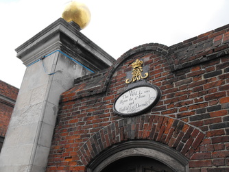
Photograph of Portsmouth Naval Base Wall taken 30 October 2013 close to the main gate.
The inscription reads
'This wall was begun the 4th June 1711 and finish'd ye 13 December 1711'.
he wall generally follows the line of Sir Bernard de Gomme's earth-rampart town defence's which were constructed from 1665.
It is constructed of red brick with some blue headers in English bond. The wall varies in height from approximately 4m to approximately 7m and at various points it is now incorporated in the buildings which have been built up against it.
Just visible to the left of the photograph is one of the large piers that form Victory Gate, it is constructed of two large ashlar piers with moulded plinths, cornices, and golden ball-on-cushion finials.
The plaque sits above a pedestrian gate to one side of the main gate with a segmental-arched top, it is framed by a royal cipher and crown.
CALSHOT CASTLE -1539, LIFEBOAT STATION & FAWLEY TERMINAL
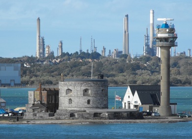
Calshot Castle was built in 1539 by Henry Vlll, it formed part of a chain of castles and defences constructed along the South coast of England to counter a possible invasion from both France and Spain.
The Castle was built on a strategically important shingle spit close to the deep water channel at the mouth of Southampton Water and for over 400 years acted as an artillery position.
The castle was severely damaged by fire in the reign of Elizabeth I and its repair required the felling of 127 oak trees from the nearby New Forest.
Calshot Naval Air Station opened in 1913, from here in this year First Lord of the Admiralty, Winston Churchill took his first seaplane flight. Manned during World War I Calshot provided Channel defence and a training base for pilots and was renamed RAF Calshot in 1918
Calshot was the venue of the famous Schneider Cup Trophy race in 1929 and 1931 at which one of the servicemen assigned to help with event was Aircraftsman Shaw, better known today as Lawrence of Arabia. Calshot played an important role in the Second World War and became home to the Sunderland Flying Boat and in 1945 it became a coastguard station until it was handed over to English Heritage. The buildings to the right of the castle form the Calshot lifeboat station. The station is built on the grounds of the old military flying boat station. A lifeboat has been on this site site since 1970.
In the background is the Fawley Terminal where I have seen and photographed many ships whilst sailing down the Solent on one of the three Red Funnel ferries. The site was originally developed in 1921 by the Atlantic Gulf and West Indies Petroleum Company.
Photograph taken 2 November 2013.
SPUR REDOUBT - PORTSMOUTH
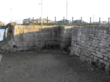
I took the above photograph which shows part of the Spur Redoubt when I was walking back from Portsmouth naval base towards the Hovercraft terminal at Southsea.
Spur Redoubt was built in 1680 by Sir Bernard de Gomme.
Originally constructed as a redan which was a crude triangular earthwork commonly used in fortifications during the English Civil War it was extended and rebuilt in stone and by the 1750's it had been transformed into a powerful battery.
It consisted of a small fort separated from the towns main fortifications and was designed to strengthen the seaward line in front of an exposed corner of the Kings Bastion.
Nelson's last walk on land reputedly took him through a sallyport in Spur Redoubt.
From here Nelson boarded a vessel which took him to HMS Victory which was anchored at St.Helens off the Eastern tip of the Isle Of Wight.
Photograph taken 30 October 2013.
WHITE STAR LINE OFFICE - LIVERPOOL - 1896
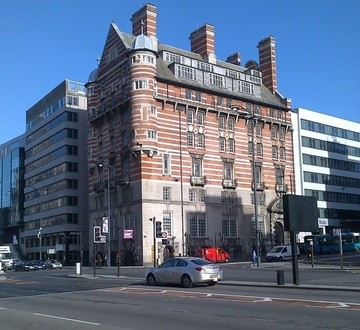
Albion House was built in 1896 at 30 James Street in Liverpool.
It was designed by the Architect Richard Norman Shaw for the Ismay, Imrie and Co. Shipping Company, which later became the White Star Line.
The facade is constructed from white Portland stone and red brick.
During World War II the gable was damaged during a bombing raid but the damage was repaired and rebuilt after the war.
The President of the White Star Line was Joseph Bruce Ismay and his office was believed to be located at the bottom of the turret closest to the camera.
Ismay together with his secretary William Henry Harrison and his valet John Richard Fry boarded the Titanic on its maiden voyage at Southampton as First Class Passengers.
Ismay (aged 49 at the time) survived the sinking in collapsible lifeboat C. Both Harrison (aged 40) and Fry (Aged 39) died during the tragedy. Fry's body was never found but Harrison's body was recovered and he was subsequently buried in Halifax, Nova Scotia, Canada.
On 10 May 1934 Cunard and the White Star Line merged and the office was subsequently closed.
GODSHILL CHURCH
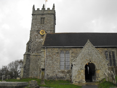
This is where I took my kids for an afternoon walk on Halloween.
All Saints church is surrounded by a partly overgrown graveyard on a hill overlooking the small village of Godshill on the Isle Of Wight.
Access to the church is via a relatively steep foopath, the path starts at the base of the hill between some 16th / 17th Century cottages and gets progressively narrower as it curves up to the church.
Godshill is located on the Isle of Wight and is an ancient parish that existed before the compilation of the
Domesday Book in AD 1086. The first recorded spelling of the village was Godeshulle.
The church was given by William Fitz-Osbern who died in 1070 to the Abbey of Lyra in Normandy.
The church today largely dates from the 14th Century and is the fourth church to be built on this site.
The hill on which the church stands was once a place of pagan worship and legend tells that the building of a church was begun at the foot of the hill but that on three successive nights the stones were removed unseen to the site of the present church. Work was restarted on the first two mornings but on the third day it was assumed that God wished the church to be built on the hill, hence the name Godshill.
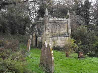
A damaged and overgrown mausoleum within the grounds of the church.
Most of the gravestones I saw were so eroded or covered in lichen they were
unreadable
Most of the gravestones I saw were so eroded or covered in lichen they were
unreadable
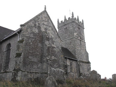
Another view of the church.
Godshill church has a peal of six bells.
They were recast in 1887 from the old peal which had been recast in 1815 with the village gun of 1543 being cast into the tenor bell.
Photographs taken 31 October 2013.
Godshill church has a peal of six bells.
They were recast in 1887 from the old peal which had been recast in 1815 with the village gun of 1543 being cast into the tenor bell.
Photographs taken 31 October 2013.
ventnor haven harbour
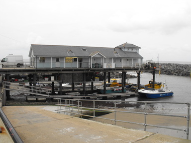
Whilst on holiday we visited Ventnor which is a town on the South side of the Isle of Wight facing the English Channel.
The picture above is of the relatively new 'Haven Harbour' which was opened in 2003 for the berthing of smaller vessels, this replaced a relatively short lived harbour which was destroyed by the sea in the 1860's.
The haven has been expanded into a New England style working port and marina for all sizes of vessel and is currently the only stop off point South of Cowes and Yarmouth for round-Island sailing.
Catmaran manufacturer Cheetah Marine have workshops close to the harbour and some of their vessels can be seen moored up.
The actual port building on the pier was quite busy selling seafood 'straight from the boat'.
Picture taken 31 October 2013.
PORT OF LIVERPOOL BUILDING - 1907
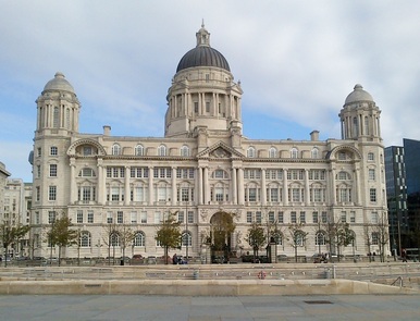
I took this picture of the Port of Liverpool Building last Thursday as I was sat on the waterfront eating my lunch.
The building was designed by Sir Arnold Thornley (1870 - 1953) and F.B. Hobbs in collaboration with Liverpool
Architects Briggs and Wolstenholme. It was constructed between 1904 and 1907. The building has a reinforced concrete frame and is clad in Portland Stone.
The building acted as the headquarters of the Mersey Docks & Harbour Board from 1907 to 1994 when the company relocated to new premises at Seaforth Dock.
At the very beginning of the 20th Century the area now known as Pier Head consisted of the 1771 built George's Dock which was connected to Canning Dock to the South and George's Basin to the North.
The Mersey Docks & Harbour Board decided to close and infill George's Dock and the land was sold in 1900 to
Liverpool Corporation, they did however retain a parcel of land at the South end of the site to build a new headquarters building that brought together all their offices which were scattered around the city.
In 1900 they organised a design competition and prizes of £300, £200 and £100 were offered for the three best designs. In total seven entries were received the winner being the entry submitted by Sir Arnold Thornley and F.B. Hobbs in
collaboration with Briggs and Wolstenholme
In 1903 the Contract to construct the new building was tendered and won by William Brown & Son of Manchester. Work began in 1904 and completed in 1907 at a cost of approximately £250,000 although when the cost of furniture,
fittings and professional fees was taken into account, the total cost was nearer £350,000. Head office staff officially moved into the building on 15 July 1907 with staff from departments located in other parts of the city moving in
throughout the rest of the year.
During the second world war the building was badly damaged during the May Blitz of 1941 but the damage was repaired after the war.
The Building is designed in the Edwardian Boroque style which takes features from two main sources, French 18th Century Architecture and English 17th Century (Wren) Architecture. Typical details of this style of Architecture include domed corner rooftop pavilions and a central taller tower-like element creating a lively rooftop silhouette.
The building's central dome is the main focal point of the building, although it was not part of the original design. Last minute changes resulted in the dome being added, the main entrance was also moved to its current location following a change in the buildings layout caused by a land ownership issue.
The building has five floors is 67m high and is approximately rectangular in shape (80m x 66m). The main entrance is located in the centre of the river-facing side of the building and is flanked by two three-metre high, stone statues of women representing "Commerce" and "Industry".
Collingwood Dock - LIVERPOOL - 1848
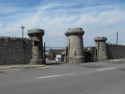
Following the Dock Act of 1844 Dock Engineer Jesse Hartley as part of a single construction project built five new central docks one of which was Collingwood, the others were named Salisbury, Stanley, Nelson and Bramley Moore all of which opened in 1848.
The dock boundary wall enclosing this set of docks is about 5m high and differs from those constructed previously as instead of brick he used his ‘Cyclopean’ granite technique comprising finely jointed irregular shaped stones and flush rounded copings of random lengths. In total this type of wall extends over 1000m.
The dock has a double entrance with three tapering towers comprising a flanking pair of round towers and a larger central tower incorporating a shelter for watchmen or the dock police.
The towers have implied castellations above the cap and the central tower has arrow-slit like windows looking out onto the road and a small chimney. Deep slits are provided at the sides for sliding gates which would have slid out on rollers operated by counterweights closing into a slotted recess in the central tower.
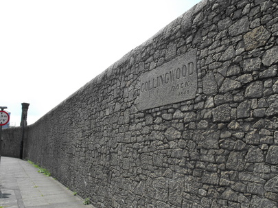
Granite blocks bearing the name and date of each dock are set into the walls. It looks like the letters within the name were once inlaid with metal (possibly lead?) as I have noticed the remains of metal in some of the name plates. This may however been done in more recent times.
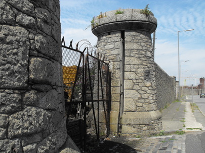
View of the gate towers showing remains of a timber sliding gate which may or may not be original.
Closer view of the Cyclopean walling.
You cannot do anything else but admire the workmanship of the men who built this wall 165 years ago.
Although worn and weathered after 165 years the gate towers and walls are still an imposing sight.
You cannot do anything else but admire the workmanship of the men who built this wall 165 years ago.
Although worn and weathered after 165 years the gate towers and walls are still an imposing sight.
MEMORIAL TO ENGINE ROOM HEROES - 1916
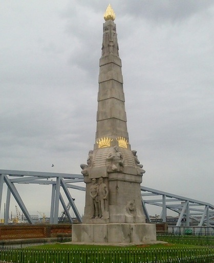
This granite monument is located in St. Nicholas Place, Pierhead, Liverpool.
Designed by Sir William Goscombe John (1860-1952) and erected in 1916 it takes the form of a 14.6m high obelisk with an Egyptian scene at the top and statues of engineers above the plinth. There are depictions of Water, Earth, Sea and Fire on each corner and it is surmounted by a gilded flame.
The memorial was originally intended to be for the engineers serving on the RMS Titanic who stayed at their posts on the tragic night of 15th April 1912 ensuring that the stricken liner had electricity and other amenities for as long as possible.
However, World War I broke out before its completion and its dedication was broadened to include all maritime engine room fatalities incurred during the performance of duty.
The memorial is an early example of a monument raised for working men.
Some damaged stonework received from shrapnel damage during Second World War bombing raids can be seen.
On the North face is inscribed -
"IN HONOUR OF / ALL HEROES OF THE / MARINE ENGINE ROOM / THIS MEMORIAL / WAS ERECTED BY / INTERNATIONAL SUBSCRIPTION"
Inscription on the South face reads-
"THE BRAVE DO NOT DIE / THEIR DEEDS LIVE FOR EVER / AND CALL UPON US / TO EMULATE THEIR COURAGE / AND DEVOTION TO DUTY"
Drinking fountains AT liverpool docks - 1859
Photograph of a drinking fountain located in Liverpool's Dock Boundary Wall.
Originally 33 fountains were inserted along the length of the dock boundary wall in 1859. Fountains were located on both sides of the wall although the above example is on the outside
I have seen two types of fountain constructed out of either granite or cast iron as the photograph. I have also read that the fountains were installed to provide drinking water to the dock workers in the hope that this would keep them out of the pubs, how effective this was in practice would be interesting to know.
Whether this worked effectively or not the fountains would have supplied drinking water to people working in and around the docks, they are certainly a remnant of a bye-gone era.
Dover hoverport (or what's left of it)
Photograph of Dover Hoverport taken 4 August 2013 from the Prince Of Wales Pier.
I took the hovercraft from here to Calais back in 1994 when we went on a two week circuit of France. Unfortunately apart from the pad the hoverport has largely disapppeared.
The hoverport was originally opened on 5 July 1978 and had a berth to accommodate Seacat ferries next to the pad. Its location at Dover's Western Docks was originally decided in terms of its proximity to a planned rail route from Dover to Canterbury, providing quick change from train to hovercraft. However this idea was phased out due to financial difficulties.
Strong ferry competition and the opening of the Channel Tunnel forced the company to close, the last service being on 7 November 2005.
Following a cross channel ferry operation from the site the hoverport was demolished in 2009.
It did look as if there was some construction activity on the site but this might just be a local contractor renting the space for storage of materials.
I imagine it will end up as a carpark for the main ferry terminals.
DOVer - LIGHTHOUSES, PIERS & BREAKWATER
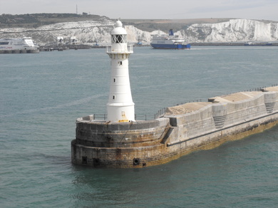
I took these photographs when we were walking around Dover the afternoon before we sailed and from the back of the Pride of Kent as we left port on route to Calais.
The picture is of the Southern Breakwater which was constructed at the beginning of the 20th Century and together with the Eastern Arm and Admiralty Pier formed part of the harbour enclosure. It is constructed of large granite blocks and during WWI and WWII formed part of the ports defences housing gun and search light emplacements, barrack blocks, magazines and other facilities for the troops who manned the guns. Some of the gun encasements can be seen in the photograph above.
The picture is of the Southern Breakwater which was constructed at the beginning of the 20th Century and together with the Eastern Arm and Admiralty Pier formed part of the harbour enclosure. It is constructed of large granite blocks and during WWI and WWII formed part of the ports defences housing gun and search light emplacements, barrack blocks, magazines and other facilities for the troops who manned the guns. Some of the gun encasements can be seen in the photograph above.
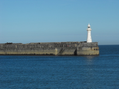
The lighthouse at the end of the Dover Southern Breakwater was built in 1909 and consists of a round cast iron structure with lantern and gallery. This lighthouse together with the Admiralty Pier Light bracket the Western entrance to Dover Harbour.
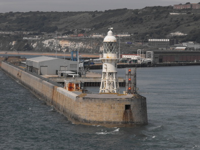
The photograph left is of the 1908 Admiralty Pier Light house.
A station has been on this site since 1842.
Again this is a round cast iron tower with lantern and gallery.
This lighthouse replaced a 9 m tower built in 1876. It is located at the end of the pier which extends 1220 m out into the sea enclosing the Western side of Dover Harbour.
A station has been on this site since 1842.
Again this is a round cast iron tower with lantern and gallery.
This lighthouse replaced a 9 m tower built in 1876. It is located at the end of the pier which extends 1220 m out into the sea enclosing the Western side of Dover Harbour.
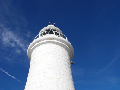
This lighthouse is at the end of the Prince Of Wales pier which we walked along in the early evening to the cafe at the end where we just managed to get a couple of cold soft drinks before it closed.
This lighthouse was built in 1902 and is a round stone tower with lantern and gallery. It is located at the end of the pier which separates the outer and inner harbours.
The Prince of Wales Pier was named after Edward VII who as Prince of Wales, laid the foundation stone in 1892.
The Pier opened in 1902 and at the time was constructed of stone with a section of cast iron pier connecting it to land. It had ship berths along its length which at the time were capable of accommodating some of the largest ships afloat.
In 1905 a railway track was laid along the pier.
In 1978 the cast iron section close to land was filled in with concrete as part of construction of the Western Docks Hoverport.
Notes from LIVERPOOL
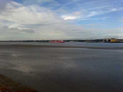
It has been a busy week and although I have spent most of my time in Liverpool I
did mange a trip to Birmingham on Wednesday.
As result over the last few days I have seen quite a few new ships in addition to a great many that I have seen before. Of particular interest was the ferry Sound of Seil which is a new build spotted on the slipway at Cammell Laird, after the incoming tide lifted her off her cradle she was moved into the main basin.
I am back in Liverpool on Monday so hopefully a few new ships will arrive over the weekend.
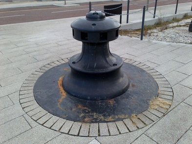
Photograph I took yesterday of a capstan on the Liverpool riverfront near the now infilled Kings dock.
This was used to pull vessels into the docks.
This was used to pull vessels into the docks.
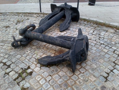
A couple of anchors also on the riverside near Kings Dock.
GLASGOW TRIP
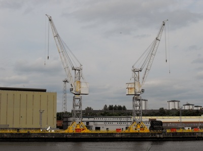
Cranes seen at BAE Systems facility on the Clyde in Scotland.
Unfortunately the facility was devoid of ships at the time of my visit (17 July 2013).
Unfortunately the facility was devoid of ships at the time of my visit (17 July 2013).
Clarence DOCK - LIverpool
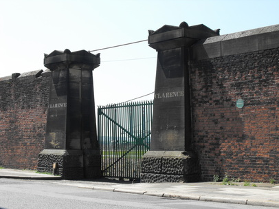
A photograph taken on 9 July 2013 of the wall and entrance into Liverpool's Clarence Dock.
Clarence Dock was designed by by Jesse Hartley and opened on 16 September 1830, it was named after William, Duke of Clarence, who later became King William IV.
It was built as a self-contained steamship dock facility.
This was for safety reasons to keep steamships and sailing ships separate to avoid the risk of fire spreading to timber sailing vessels which at the time were using the other docks.
The monumental gates are in a Greek revival style with squared tapering piers on rusticated pitted bases with gabled
caps and acroteria architectural ornamentation on the corners of the cappings.
The wall itself was built in red brick with sandstone copings in the same style as John Foster’s 1821 wall around Princes Dock, but dates to between 1836 and 1841 when the docks were extended.
Clarence Dock was also the berth of the Irish ferry ships. During the Irish famine from 1845 to 1852 over 1.3 million Irish men, women and children arrived here and walked out of the docks through the gate shown in the photograph above. Many took a took ship to America from Waterloo Dock, there being no direct sailings to America from Ireland, others moved on to London and other British towns and cities. The small plaque seen to the right of the gate on the photograph above notes this fact.
The dock was in-filled in 1929 and the site was then used for a power station. The three large chimneys of the Clarence Dock Power Station were a familiar local landmark until the site was demolished in the 1990's.
Princes Dock - Liverpool
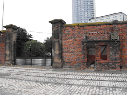
I was working next to Princes Dock in Liverpool on 25 June 2013 and took the
opportunity to have a look around and take a few photographs during my lunch break.
Princes Dock is interesting as it was the first of the Liverpool docks to be enclosed by a security wall to prevent theft and and also to
provide a safe environment for commodities held in bond.
The wall was built between 1816 and 1821 to accommodate sailing vessels running to North America and was built by dock engineer John Foster who was engineer between 1799 and 1824 (b1758 –d1827).
Originally the wall ran around all four sides of the dock although only the East side of the wall remains today.
The wall is built of brick with sandstone copings with a monumental gateway. The gateway has sandstone piers with a pitted edge decoration and decorative cappings. The wall is approximately 210m long, 5.5m high, two brick lengths
thick and is constructed in English Bond.
The gates in the photograph are 20th century additions.
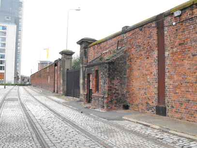
Dock police huts were added to this section of wall in the late 19th Century to provide 24hr surveillance. As seen in the photographs above these took the form
of lean-to brick structures built against the inner face of the original 1816-1821 wall.
The Liverpool Overhead Railway opened in 1893 ran along the inside of the dock walls supported by cast iron columns. One of the
columns can be seen cut into the original wall in the photograph above, the line was closed in 1956 and demolished in 1957, the columns being left in place and cut off level with the top of the wall.
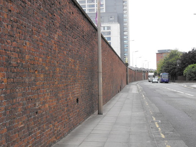
The bondary dock wal from the outside.
TIMBER PILE |
FESTIVE LIGHTS - 2014 |
|
A timber pile sank into the beach near Fort Victoria on the Isle Of Wight.
There were a number of fossil hunters on the beach looking for fossilised turtle shell which apparently is quite common in the area. Photographed 31 October 2014 |
I took the photograph of a Christmas tree in Dam Square, Amsterdam as we were heading back to the station on 9 December 2014.
The tree is over 20m high and decorated with 4,000m of lights consisting of over 40,000 LED fairy lights. As is tradition the tree was grow in the Ardennes. |
