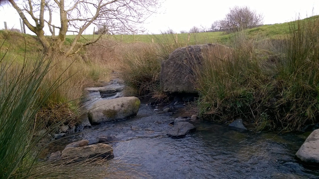
This small stream meanders through fields in a roughly North-East - South-West direction for about a mile before emptying into Shackerley Brook.
In the 19th Century these fields were largely covered in collieries and mine workings but the area has since been reclaimed by farmland.
At the point where I crossed the stream and took the photograph the stream hits a wall of sandstone about a metre high and is turned sharply East, a few sandstone boulders had also been washed out of the embankment and exposed.
Just South of here the Roman Road from Manchester to Wigan would have crossed this stream, although nothing now remains of the road apparently up to the 17th Century the line of the road could be traced. Whether the road crossed the stream by a bridge or road is also unknown, bearing in mind the road was a military highway connecting the forts of Manchester and Wigan and ran through potentially hostile countryside (at first anyway) which would have been heavily wooded with oak and other native species I suspect a simple stone bridge would have been constructed.

 RSS Feed
