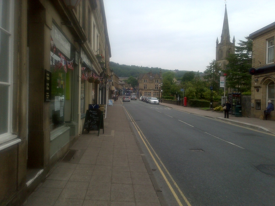
The town is characterised by its position on the South side of the West Pennine Moors. The ground rises sharply on either side of the town with Holcombe Moor, Harcles Hill and Bull Hill to the West and Top O' Th' Hoof, Harden Moor, Scout Moor and Whittle Hill to the East.
The name of the town probably means "ram's valley" from the Old English ramm, a ram and botm, a valley. A record from 1324 records the name as
Ramesbothum and the town was noted as being Ramysbothom in 1540.
Evidence of prehistoric human activity has been discovered on the hills
surrounding the town in the form of Bronze Age burial sites.
Originally the present site of the town was a wooded river valley but from Anglo-Saxons times the trees were progressively felled until in the Middle Ages Ramsbottom was an area of scattered woods, farmsteads, moorland and marshes with small communites of families presumably living off the land.
Due to its location during the Industrial revolution Ramsbottom developed into an important manufacturing and mill town resulting in many of the buildings that can be seen there today.

 RSS Feed
